Derby in Sedgwick County, Kansas — The American Midwest (Upper Plains)
Garrett Homestead
Derby Historic Landmark
Photographed by Mark Hilton, July 1, 2024
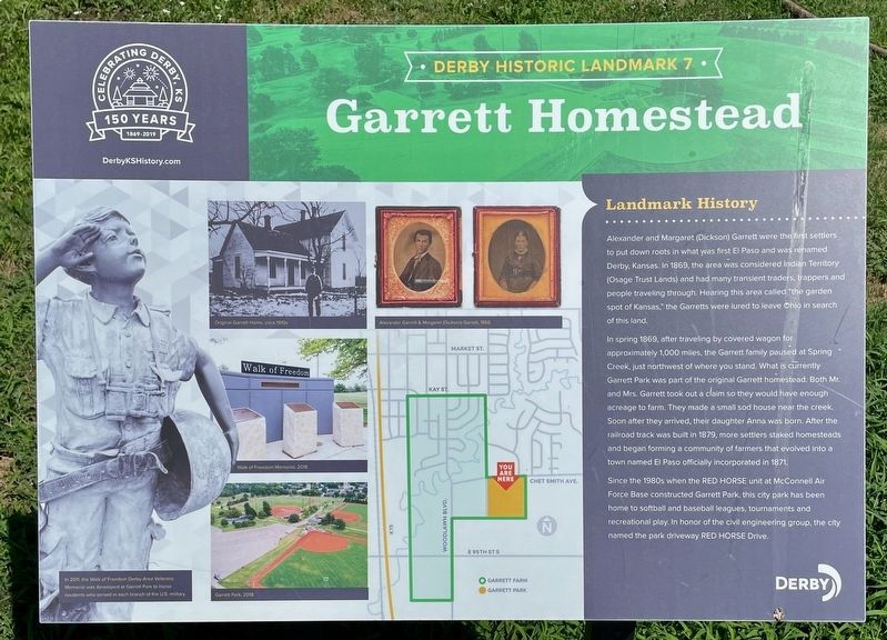
1. Garrett Homestead Marker
In spring 1869, after traveling by covered wagon for approximately 1,000 miles, the Garrett family paused at Spring Creek, just northwest of where you stand. What is currently Garrett Park was part of the original Garrett homestead. Both Mr. and Mrs. Garrett took out a claim so they would have enough acreage to farm. They made a small sod house near the creek. Soon after they arrived, their daughter Anna was born. After the railroad track was built in 1879, more settlers staked homesteads and began forming a community of farmers that evolved into a town named El Paso officially incorporated in 1871.
Since the 1980s when the Red Horse unit at McConnell Air Force Base constructed Garrett Park, this city park has been home to
this page online
Erected 2019 by the City of Derby. (Marker Number 7.)
Topics. This historical marker is listed in these topic lists: Parks & Recreational Areas • Settlements & Settlers. A significant historical year for this entry is 1869.
Location. 37° 31.884′ N, 97° 15.399′ W. Marker is in Derby, Kansas, in Sedgwick County. It is on South Red Horse Drive 0.2 miles south of East Chet Smith Avenue, on the right when traveling south. Located within Garrett Park. Touch for map. Marker is at or near this postal address: 1100 E Chet Smith Ave, Derby KS 67037, United States of America. Touch for directions.

Regionally, this marker is in Greater Wichita. It is also in the American Midwest, in the Corn Belt, on the prairies, and on the Southern Plains. Globally, it is in North America, the Western Hemisphere, the Western World, and the Anglosphere. Historically, it finds itself in what was once the Louisiana Purchase.
Other nearby markers. At least 8 other markers are within 11 miles
Photographed by Mark Hilton, July 1, 2024
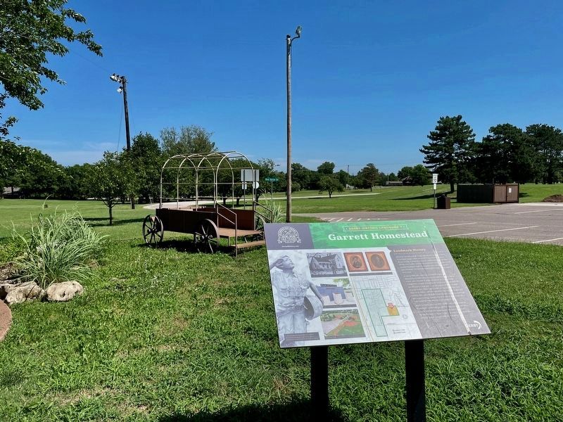
2. Garrett Homestead Marker at Garrett Park.
Credits. This page was last revised on August 2, 2024. It was originally submitted on August 2, 2024, by Mark Hilton of Montgomery, Alabama. This page has been viewed 285 times since then and 28 times this year. Photos: 1, 2. submitted on August 2, 2024, by Mark Hilton of Montgomery, Alabama.
