Washburn in McLean County, North Dakota — The American Midwest (Upper Plains)
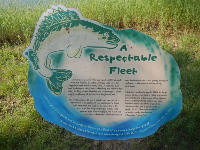
A Respectable Fleet
Photographed by Barry Swackhamer, February 4, 2011
1. A Respectable Fleet Marker
The Corps of Discovery traveled nearly eight thousand miles, the majority by water. On these waterways the Expedition used boats of many kinds. A keelboat, built near Pittsburgh in 1803, was 55 feet long and nearly 8 feet wide. Drafting a near three-feet and supporting a 32-foot mast, it could carry 12 to 14 tons of freight and men.
The white pirogue, 39 feet in length, was manned by a detachment of six soldiers. It was caged at the Great Falls, recovered and used for the return trip to St. Louis. A 41 foot long red pirogue initially held seven or eight French engagés, the men hired as hunters and boatmen. Eventually cached near the Marias River, it was greatly damaged and could not be used on the return trip to St, Louis.
In February and early March, 1805, six large dugout canoes were built to help transport the permanent party to the source of the Missouri River. Made from cottonwood trees felled five miles west of the
this page online
Topics and series. This historical marker is listed in these topic lists: Exploration • Waterways & Vessels. In addition, it is included in the Lewis & Clark Expedition series list. A significant historical date for this entry is May 13, 1905.
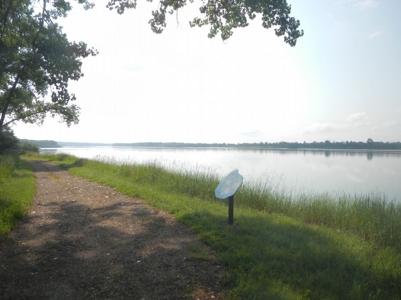
Location. 47° 17.842′ N, 101° 5.322′ W. Marker is in Washburn, North Dakota, in McLean County. It is on 28th Avenue Southwest near 8th Street Southwest. The marker is located at the Fort Mandan State Historic Site down by the riverfront. Touch for map. Marker is at or near this postal address: 838 28th Ave SW, Washburn ND 58577, United States of America. Touch for directions.

Regionally, this marker is in the Standing Rock Sioux Tribe, in the Drift Prairie, and on the Missouri Plateau. It is also in the American Lewis & Clark Corridor, on the prairies, and on the Northern Plains. Globally, it is in North America, the Western Hemisphere, the Western World, and the Anglosphere. Historically, it finds itself in what was once Rupert’s Land and
Photographed by Barry Swackhamer, February 4, 2011
2. A Respectable Fleet Marker
Other nearby markers. At least 8 other markers are within walking distance of this marker: Fort Mandan (within shouting distance of this marker); Seaman (within shouting distance of this marker); First Farmers (about 300 feet away, measured in a direct line); Pleasures and Pastimes (about 400 feet away); Cottonwood Canopy (about 500 feet away); Bicentennial Wagon Train Pilgrimage to Pennsylvania (about 600 feet away); Below the Freezing Point (about 600 feet away); a different marker also named Fort Mandan (about 600 feet away). Touch for a list and map of all markers in Washburn.
Also see . . . The Boats - Discover Lewis and Clark. The flotilla variously included a military barge (called the ‘boat’ or ‘barge’ but never the ‘keelboat’), pirogues, dugout canoes, rafts, and boats covered with animal hides—the iron-framed boat and bull boats. (Submitted on August 3, 2024, by Barry Swackhamer of Brentwood, California.)
Credits. This page was last revised on August 3, 2024. It was originally submitted on August 3, 2024, by Barry Swackhamer of Brentwood, California. This page has been viewed 124 times since then and 18 times this year. Photos: 1, 2. submitted on August 3, 2024, by Barry Swackhamer of Brentwood, California.
