Near Washburn in McLean County, North Dakota — The American Midwest (Upper Plains)
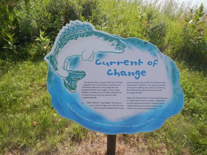
Current of Change
Photographed by Barry Swackhamer, February 4, 2011
1. Current of Change Marker
The Missouri River was part of the Lewis & Clark Expedition from Camp Debois to near the crest of the Rocky Mountains. Even though the men contended with the river's mighty current, snags, sandbars, treacherous ice and other obstacles from its mouth to source, the river served as their predestined path.
Often called the "Big Muddy," the Missouri is our nation's longest river. Like all rivers the driving force behind the Missouri was its seasonal rise and fall. The Missouri River experienced rising flows in the spring and early summer from melting snow and rain. Declining flows followed during the late summer and throughout the fall.
Today, the Missouri River as Lewis and Clark saw it is nearly gone. Dams to create a stable flow, provided recreational activity, irrigation and a reliable drinking source have tamed much of the river's once meandering path.
Topics and series. This historical marker is listed in this topic list: Waterways & Vessels. In addition, it is included in the Lewis & Clark Expedition series list.
Location. 47° 17.842′ N,
this page online

Regionally, this marker is in the Standing Rock Sioux Tribe, in the Drift Prairie, and on the Missouri Plateau. It is also in the American Lewis & Clark Corridor, on the prairies, and on the Northern Plains. Globally, it is in North America, the Western Hemisphere, the Western World, and the Anglosphere. Historically, it finds itself in what was once Rupert’s Land and also the Louisiana Purchase.
Other nearby markers. At least 8 other markers are within walking distance of this marker: Cargo of Discovery (here, next to this marker); First Farmers (about 300 feet away, measured in a direct line); Below the Freezing Point (about 400 feet away); Fort Mandan (about 400 feet away); Men of Worth (about 400 feet away); Bicentennial Wagon Train Pilgrimage to Pennsylvania
Photographed by Barry Swackhamer, February 4, 2011
2. Current of Change Marker
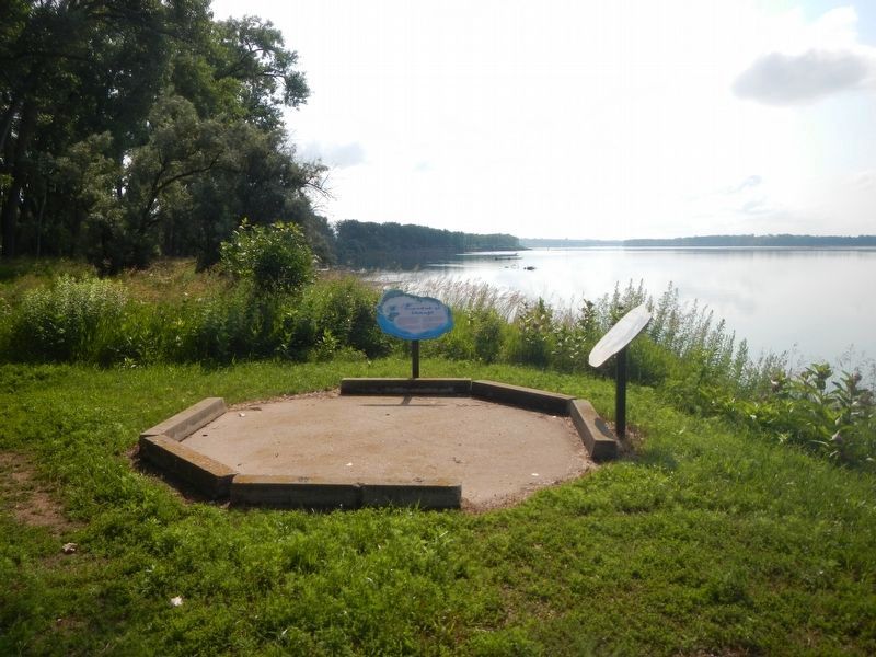
The marker is at the center.
Credits. This page was last revised on August 3, 2024. It was originally submitted on August 3, 2024, by Barry Swackhamer of Brentwood, California. This page has been viewed 126 times since then and 18 times this year. Photos: 1, 2. submitted on August 3, 2024, by Barry Swackhamer of Brentwood, California.
