Marysville in Marshall County, Kansas — The American Midwest (Upper Plains)
History of This Site
Photographed by Jeremy Snow, July 19, 2024
1. History of This Site Marker
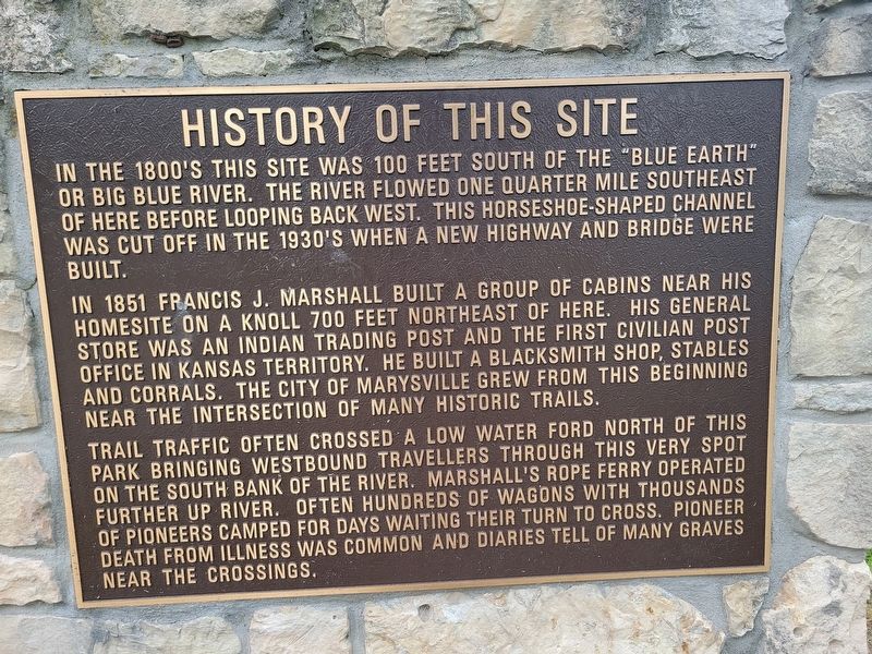
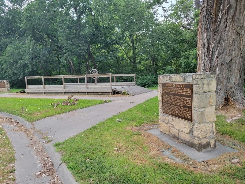
In the 1800's this site was 100 feet south of the "Blue Earth" or Big Blue River. The river flowed one quarter mile southeast of here before looping back west. This horseshoe-shaped channel was cut off in the 1930's when a new highway and bridge were built.
In 1851 Francis J. Marshall built a group of cabins near his homesite on a knoll 700 feet northeast of here. His general store was an Indian trading post and the first civilian post office in Kansas Territory. He built a blacksmith shop, stables and corrals. The city of Marysville grew from this beginning near the intersection of many historic trails.
Trail traffic often crossed a low water ford north of this park bringing westbound travellers through this very spot on the south bank of the river. Marshall's rope ferry operated further up river. Often hundreds of wagons with thousands of pioneers camped for days waiting their turn to cross. Pioneer death from illness was common and diaries tell of many graves near the crossings.
Topics. This historical marker is listed in these topic lists: Roads & Vehicles • Settlements & Settlers. A significant historical year for this entry is 1851.
Location. 39° 50.59′ N,
this page online

Regionally, this marker is in Eastern Kansas. It is also in the American Midwest, in the Corn Belt, on the prairies, and on the Southern Plains. Globally, it is in North America, the Western Hemisphere, the Western World, and the Anglosphere. Historically, it finds itself in what was once the Louisiana Purchase.
Other nearby markers. At least 8 other markers are within walking distance of this marker: Rope Ferry (a few steps from this marker); Oregon Trail (a few steps from this marker); Alcove Spring (a few steps from this marker); St. Joe Road (a few steps from this marker); Mormon Trail (a few steps from this marker); Military Road (a few steps from this marker); Pony Express Trail (a few steps from this marker); Overland Stage (a few steps from this marker). Touch for a list and map of all markers in Marysville.
Photographed by Jeremy Snow, July 19, 2024
2. History of This Site Marker
Credits. This page was last revised on August 8, 2024. It was originally submitted on August 5, 2024, by Jeremy Snow of Cedar City, Utah. This page has been viewed 162 times since then and 22 times this year. Photos: 1, 2. submitted on August 5, 2024, by Jeremy Snow of Cedar City, Utah. • J. Makali Bruton was the editor who published this page.
