Marysville in Marshall County, Kansas — The American Midwest (Upper Plains)
St. Joe Road
Photographed by Jeremy Snow, July 19, 2024
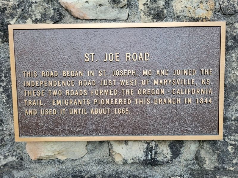
1. St. Joe Road Marker
This road began in St. Joseph, MO and joined the Independence Road just west of Marysville, KS. These two roads formed the Oregon - California Trail. Emigrants pioneered this branch in 1844 and used it until about 1865.
Topics and series. This historical marker is listed in this topic list: Roads & Vehicles. In addition, it is included in the California Trail series list. A significant historical year for this entry is 1844.
Location. 39° 50.592′ N, 96° 39.554′ W. Marker is in Marysville, Kansas, in Marshall County. It is on South 10th Street, on the right when traveling north. Touch for map. Marker is at or near this postal address: 1189 S 10th St, Marysville KS 66508, United States of America. Touch for directions.

Regionally, this marker is in Eastern Kansas. It is also in the American Midwest, in the Corn Belt, on the prairies, and on the Southern Plains. Globally, it is in North America, the Western Hemisphere, the Western World, and the Anglosphere. Historically, it finds itself in what was once the Louisiana Purchase.
Other nearby markers. At least 8 other markers are within walking distance of this marker:
this page online

Photographed by Jeremy Snow, July 19, 2024
2. St. Joe Road Marker
Credits. This page was last revised on August 8, 2024. It was originally submitted on August 5, 2024, by Jeremy Snow of Cedar City, Utah. This page has been viewed 190 times since then and 13 times this year. Photos: 1, 2. submitted on August 5, 2024, by Jeremy Snow of Cedar City, Utah. • J. Makali Bruton was the editor who published this page.
