Marysville in Marshall County, Kansas — The American Midwest (Upper Plains)
California Trail
Photographed by Jeremy Snow, July 19, 2024
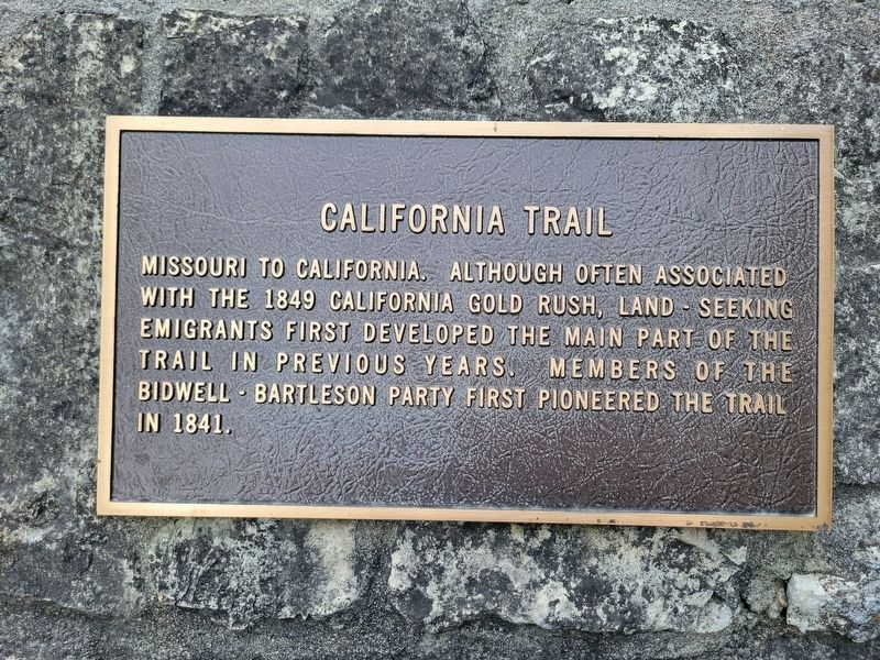
1. California Trail Marker
Missouri to California. Although often associated with the 1849 California gold rush, land seeking emigrants first developed the main part of the trail in previous years. Members of the Bidwell Bartleson party first pioneered the trail in 1841.
Topics and series. This historical marker is listed in this topic list: Roads & Vehicles. In addition, it is included in the California Trail series list. A significant historical year for this entry is 1841.
Location. 39° 50.592′ N, 96° 39.554′ W. Marker is in Marysville, Kansas, in Marshall County. It is on South 10th Street, on the right when traveling north. Touch for map. Marker is at or near this postal address: 1189 S 10th St, Marysville KS 66508, United States of America. Touch for directions.

Regionally, this marker is in Eastern Kansas. It is also in the American Midwest, in the Corn Belt, on the prairies, and on the Southern Plains. Globally, it is in North America, the Western Hemisphere, the Western World, and the Anglosphere. Historically, it finds itself in what was once the Louisiana Purchase.
Other nearby markers. At least 8 other markers are within walking
this page online
Photographed by Jeremy Snow, July 19, 2024
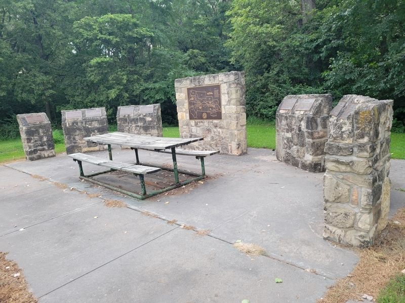
2. California Trail Marker
Credits. This page was last revised on August 9, 2024. It was originally submitted on August 5, 2024, by Jeremy Snow of Cedar City, Utah. This page has been viewed 206 times since then and 53 times this year. Photos: 1, 2. submitted on August 5, 2024, by Jeremy Snow of Cedar City, Utah. • J. Makali Bruton was the editor who published this page.
