Near Rutherfordton in Rutherford County, North Carolina — The American South (South Atlantic)
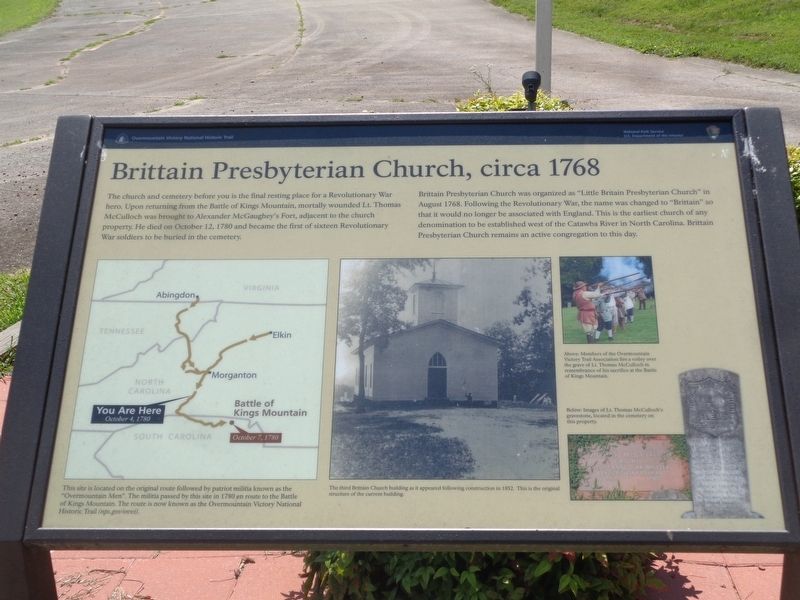
Brittain Presbyterian Church, circa 1768
| — | Overmountain Victory National Historic Trail | — |
Photographed by Roger Dean Meyer, June 15, 2019
1. Brittain Presbyterian Church, circa 1768 Marker
Brittain Presbyterian Church was organized as “Little Britain Presbyterian Church” in August 1768. Following the Revolutionary War, the name was changed to “Brittain” so that it would no longer be associated with England. This is the earliest church of any denomination to be established west of the Catawba River in North Carolina. Brittain Presbyterian Church remains an active congregation to this day.
Erected by National Park Service, U.S. Department of the Interior.
Topics. This historical marker is listed in these topic lists: Cemeteries & Burial Sites • Patriots & Patriotism • Religion & Religious Structures • War, US Revolutionary. A significant historical year for this entry is 1780.
Location. Marker is missing. It was located near 35° 27.217′ N,
this page online

Regionally, this marker was in North Carolina’s Mountains. It was also in the American South, specifically in the Upper South, in Appalachia, and specifically in Southern Appalachia. Globally, it was in North America, the Western Hemisphere, the Western World, and the Anglosphere. Historically, it found itself in what was once the territory of the Mississippian Culture, one of the original Thirteen Colonies, one of the Confederate States of America, and the Antebellum South.
Other nearby markers. At least 8 other markers are within 6 miles of this location, measured as the crow flies: Brittain Church (a few steps from this marker); Rutherford Trace (within shouting distance of this marker); Rev. James Milton Webb (approx. 4.8 miles away); The Mystery Tunnel: Was This Christopher Bechtler's Gold Mine?
Photographed by Roger Dean Meyer, June 15, 2019
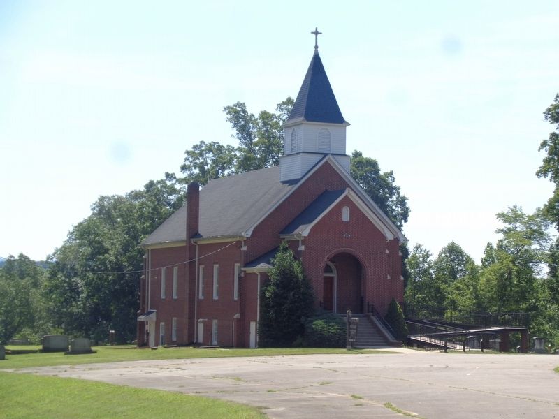
2. Brittain Presbyterian Church
Another marker is no longer nearby. Fort McGaughey (was about 400 feet away, measured in a direct line but has been confirmed missing).
Also see . . . Overmountain Victory National Historic Trail. National Park Service (Submitted on August 5, 2024.)
Photographed by Roger Dean Meyer, June 15, 2019
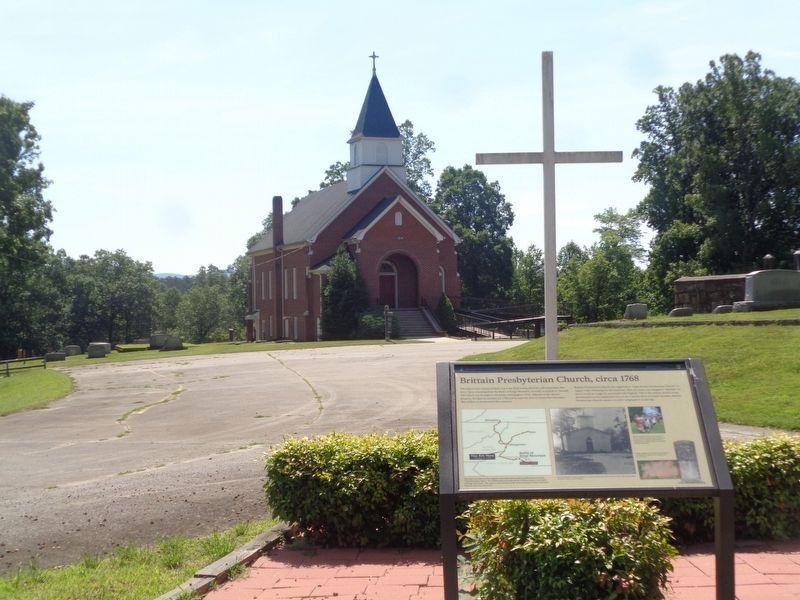
3. Brittain Presbyterian Church Marker with Church in Background
Photographed by Roger Dean Meyer, June 15, 2019
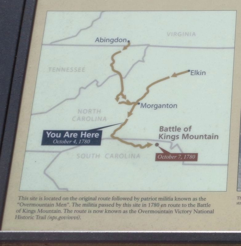
4. Route of Patriot Militia
This site is located on the original route followed by patriot militia known as the “Overmountain Men”. The militia passed by this site in 1780 en route to the Battle of Kings Mountain. The route is now known as Overmountain Victory National Historic Trail (nps.gov/ovvi).
Photographed by Roger Dean Meyer, June 15, 2019
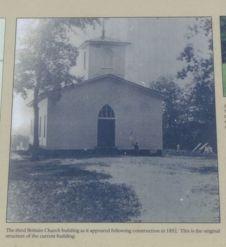
5. Brittain Presbyterian Church 1852
The third Brittain Church building as it appeared following construction 1852. This is the original structure of the current building.
Photographed by Roger Dean Meyer, June 15, 2019
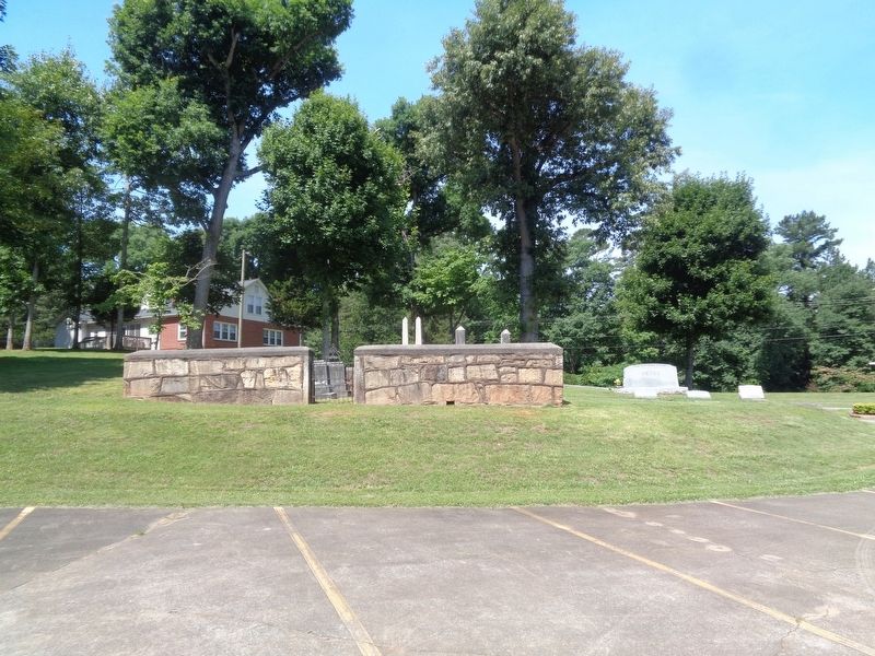
6. Brittain Church Cemetery
Photographed by Roger Dean Meyer, June 15, 2019
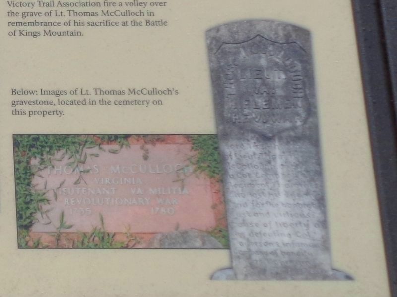
7. McCulloch Gravestone
Below: Images of Lt. Thomas McCulloch gravestone in the cemetery on this property
Photographed by Roger Dean Meyer, June 15, 2019
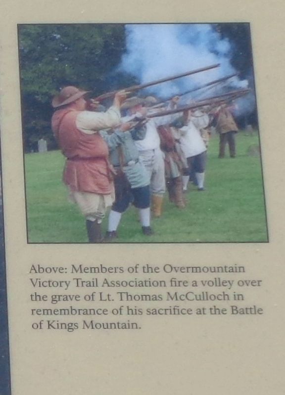
8. Overmountain Men Firing Salute to Lt. McCulloch
Above: Members of the Overmountain Victory Trail Association fire a volley over the grave of Lt. Thomas McCulloch in remembrance of his sacrifice at the Battle of Kings Mountain.

Photographed by Mark Parker, August 4, 2024
9. Brittain Presbyterian Church, circa 1768 Marker
Marker is no longer in the planter and appears to be missing.
Credits. This page was last revised on August 5, 2024. It was originally submitted on December 16, 2023, by Roger Dean Meyer of Yankton, South Dakota. This page has been viewed 542 times since then and 69 times this year. Last updated on August 5, 2024, by Mark Parker of Hickory, North Carolina. Photos: 1, 2, 3, 4, 5, 6, 7, 8. submitted on December 16, 2023, by Roger Dean Meyer of Yankton, South Dakota. 9. submitted on August 5, 2024, by Mark Parker of Hickory, North Carolina. • Bernard Fisher was the editor who published this page.
