Fort Plain in Montgomery County, New York — The American Northeast (Mid-Atlantic)
Erie Canal in Fort Plain
Photographed by Steve Stoessel, July 27, 2024
1. Erie Canal in Fort Plain Marker
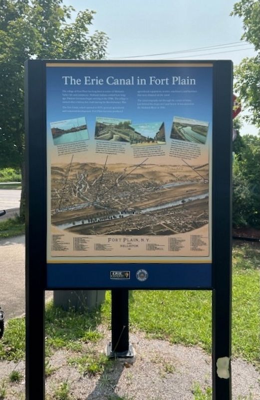
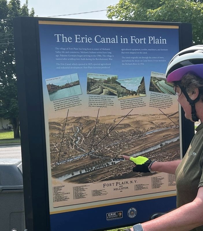
The Eric Canal, which opened in 1825, spurred agricultural and industrial development. Fort Plain factories produced agricultural equipment, textiles, machinery, and furniture that were shipped on the canal.
The canal originally ran through the center of town, just behind the shops on Canal Street. It was moved to the Mohawk River in 1916.
[illustrations:]
- Taverns and stores sprang up near locks, catering to the needs of canal boat crews awaiting their turn to past. The building on the right with the right with the columned was a grocery and tavern at Fort Plain’s Lock 32.
- A stone and timber aqueduct once carried the Erie Canal over Otsguago Creek. After the canal was rerouted in 1916, the stonework was used to support a highway bridge. Only the abutments survive today after years of damaging floods
- Fort Plain’s main commercial street street ran along the south bank of the Erie Canal. Many of the Many of the buildings on the right side of the street had rear cargo doors where goods could be unloaded directly from canal boats.
- The Mohawk River was "canal-ized” between 1905 and 1918. Locks and dams turned the river into a series of stair-steps allowing the passage of larger vessels. During the 1950s the New York Thruway was built on top of the old canal bed. The railroad bed in the foreground supports today’s cross-state Erie Canalway Trail.
this page online
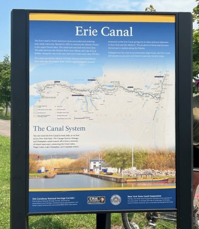
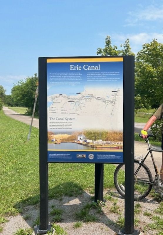
The canal open the interior of North American and transformed New York into the Empire State. Settlers and immigrants pressed westward on the Erie Canal, giving rise to cities and new industries in New York and the Midwest. Products of farms and factories moved east to markets along the Atlantic.
Enlarged over the years to accommodate larger boats, the Erie Canal still operates as an active and historic waterway for all to enjoy.
The Canal System
You can travel the Erie Canal by boat, bike, or on foot across New York State. The Cayuga-Seneca, Oswego, and Champlain Canals branch off to form a network of inland waterways connecting the Great Lakes, Finger Lakes, Lake Champlain, and Canadian waters.
[Insets:]
Erie Canalway National Heritage Corridor
Erie Canalway National Heritage Corridor preserves our extraordinary canal heritage, promotes tourism and recreation, and fosters vibrant communities connected by New York's canal system.
New York State Canal Corporation
The
Photographed by Steve Stoessel, July 27, 2024
2. Erie Canal in Fort Plain Marker
Erected by Erie Caanalway, New Yorks Canals.
Topics. This historical marker is listed in these topic lists: Settlements & Settlers • Waterways & Vessels. A significant historical year for this entry is 1825.
Location. 42° 55.976′ N, 74° 37.217′ W. Marker is in Fort Plain, New York, in Montgomery County. It is at the intersection of Railroad Street and River Street, on the right when traveling west on Railroad Street. Marker is at parking lot for the Empire State Trial. Touch for map. Marker is in this post office area: Fort Plain NY 13339, United States of America. Touch for directions.

Regionally, this marker is in Upstate New York and in the Mohawk Valley. It is also in the American Northeast and in the Mid-Atlantic. Globally, it is in North America, the Western Hemisphere, the Western World, and the Anglosphere. Historically, it finds itself in what was once the Haudenosaunee (Iroquois) Confederacy, New Netherland,
Photographed by Steve Stoessel, July 27, 2024
3. Erie Canal in Fort Plain Marker
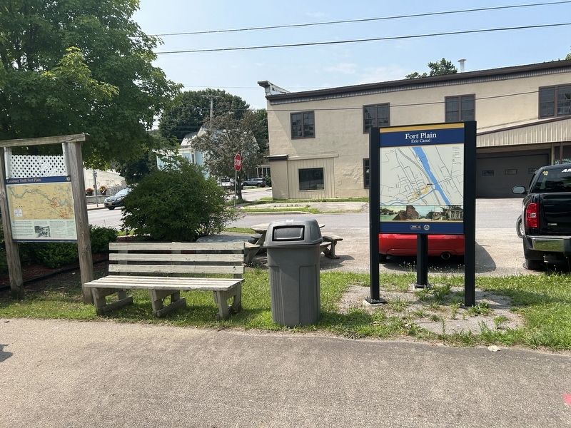
Other nearby markers. At least 8 other markers are within walking distance of this marker: Canalway Trail: Fort Plain (here, next to this marker); Fort Plain Free Library (about 600 feet away, measured in a direct line); Canal Aqueduct (approx. 0.2 miles away); Diefendorf Hall (approx. 0.2 miles away); Ta-Ra-Jo-Rees (approx. 0.4 miles away); Greene House (approx. 0.4 miles away); a different marker also named Canalway Trail: Fort Plain (approx. half a mile away); Fort Ehle (approx. 0.6 miles away). Touch for a list and map of all markers in Fort Plain.
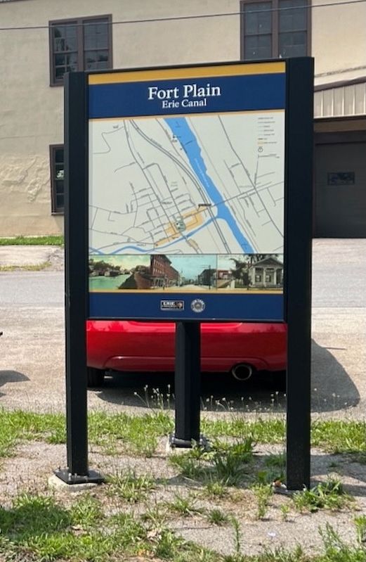
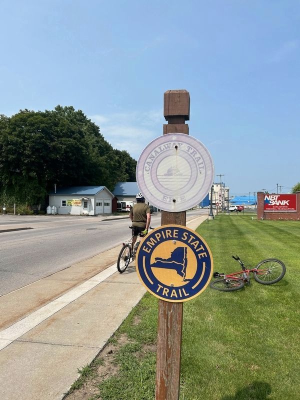
More about this marker. This is a three sided marker. One side is a map of Fort Plain. Second side has snippets of Fort Plain history superimposed over old map of Fort Plain. The third side describes the Empire State Trail.
Also see . . .
1. Erie Canal (Wikipedia). (Submitted on August 8, 2024, by Steve Stoessel of Niskayuna, New York.)
2. Erie Canalway. (Submitted on August 8, 2024, by Steve Stoessel of Niskayuna, New York.)
3. Fort Plain History. Very nice photos of enlarged canal. (Submitted on August 10, 2024, by Steve Stoessel of Niskayuna, New York.)
4. Fort Plain (Wikipedia).
Photographed by Steve Stoessel, July 27, 2024
4. Erie Canal in Fort Plain Marker
Photographed by Steve Stoessel, July 27, 2024
5. Erie Canal in Fort Plain Marker
Photographed by Steve Stoessel, July 27, 2024
6. Erie Canal in Fort Plain Marker
Photographed by Steve Stoessel, July 27, 2024
7. The Canalway is Now the Empire State Trail
Credits. This page was last revised on August 10, 2024. It was originally submitted on August 7, 2024, by Steve Stoessel of Niskayuna, New York. This page has been viewed 195 times since then and 22 times this year. Photos: 1, 2, 3, 4, 5, 6. submitted on August 7, 2024, by Steve Stoessel of Niskayuna, New York. 7. submitted on August 10, 2024, by Steve Stoessel of Niskayuna, New York.
