
West Union in Doddridge County, West Virginia — The American South (Appalachia)
Skirmish at West Union
⎯⎯⎯
West Union

Photographed by Mike Wintermantel
1. Skirmish at West Union Marker
Skirmish at West Union. Early on May 5, 1863, six companies of the 2nd WV Infantry under Col. George Latham arrived in West Union to protect area railroad bridges during the Jones-Imboden raid. Two regiments of Confederate cavalry advanced to the town, where they were opposed by the Union troops and local home guards. The rebels destroyed two bridges at Smithton before proceeding to Harrisville.
West Union. Originally part of a large 1787 land patent, the town was settled by 1804 as Middle Island. Founded by Nathan Davis in 1845 as county seat of Doddridge and incorporated in 1850. Across creek was Lewisport (Blockhouse Hill), named for Lewis Maxwell, founded by Ephraim Bee in 1828, and annexed to West Union in 1869. The covered bridge built here before 1843 was lost in 1950 flood.
Erected 2017 by West Virginia Archives & History.
Topics and series. This historical marker is listed in these topic lists: Government & Politics • War, US Civil. In addition, it is included in the West Virginia Archives and History series list. A significant historical date for this entry is May 5, 1863.
Location. 39° 17.701′ N, 80° 46.317′ W.
this page online

Regionally, this marker is in West Virginia’s Little Kanawha Valley. It is also in the American South, specifically in the Upper South, in Appalachia, and specifically in Northern Appalachia. Globally, it is in North America, the Western Hemisphere, the Western World, and the Anglosphere. Historically, it finds itself in what was once the territory of the Mississippian Culture.
Other nearby markers. At least 8 other markers are within 8 miles of this marker, measured as the crow flies: Lathrop Russell Charter House (about 500 feet away, measured in a direct line); Doddridge County Veterans Memorial (about 700 feet away); Chapman J. Stuart (approx. ¼ mile away); Beehive Inn (approx. 0.3 miles away); Central Station Bridge (approx. 2.7 miles away); Ephraim Bee (approx. 3.9 miles away); Tyler County / Doddridge County (approx.

Photographed by Mike Wintermantel
2. West Union Marker
Another marker is no longer nearby. West Union (was within shouting distance of this marker but has been confirmed missing).

Photographed by Mike Wintermantel
3. Skirmish at West Union Marker
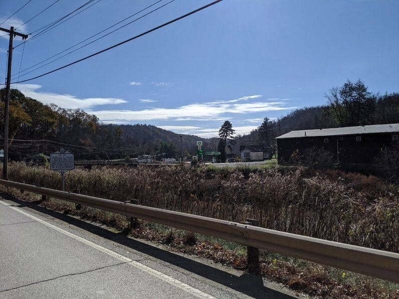
Photographed by Mike Wintermantel
4. West Union Marker
Credits. This page was last revised on December 18, 2024. It was originally submitted on November 9, 2019, by Mike Wintermantel of Pittsburgh, Pennsylvania. This page has been viewed 836 times since then and 85 times this year. Last updated on August 8, 2024, by Carl Gordon Moore Jr. of North East, Maryland. Photos: 1, 2, 3, 4. submitted on November 9, 2019, by Mike Wintermantel of Pittsburgh, Pennsylvania. • Bernard Fisher was the editor who published this page.
