Death Valley National Park in Inyo County, California — The American West (Pacific Coastal)
Transportation Traces
| — | Wagon Wheel History | — |
Photographed by Jeff Leichsenring, July 3, 2024
1. Transportation Traces Marker
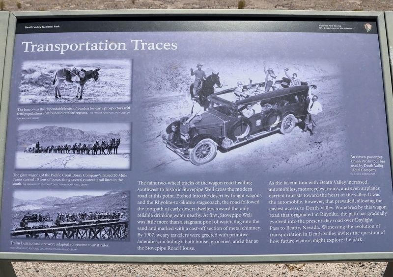
The faint two-wheel tracks of the wagon road heading southwest to historic Stovepipe Well cross the modern road at this point. Etched into the desert by freight wagons and the Rhyolite-to-Skidoo stagecoach, the road followed the footpath of early desert dwellers toward the only reliable drinking water nearby. At first, Stovepipe Well was little more than a stagnant pool of water, dug into the sand and marked with a cast-off section of metal chimney. By 1907, weary travelers were greeted with primitive amenities, including a bath house, groceries, and a bar at the Stovepipe Road House.
As the fascination with Death Valley increased, automobiles, motorcycles, trains, and even airplanes carried tourists toward the heart of the valley. It was the automobile, however, that prevailed, allowing the easiest access to Death Valley. Pioneered by this wagon road that originated in Rhyolite, the path has gradually evolved into the present-day road over Daylight Pass to Beatty, Nevada. Witnessing the evolution of transportation in Death Valley invites the question of how future visitors might explore the
this page online
photo captions:
· The burro was the dependable beast of burden for early prospectors, with feral populations still found in remote regions.
· The giant wagons of the Pacific Coast Borax Company's fabled 20 Mule Teams carried 10 tons of borax along several routes to rail lines in the south.
· Trains built to haul ore were adapted to become tourist rides.
· An eleven-passenger Union Pacific tour bus used by Death Valley Hotel Company.
Erected by Death Valley National Park.
Topics. This historical marker is listed in this topic list: Roads & Vehicles. A significant historical year for this entry is 1907.
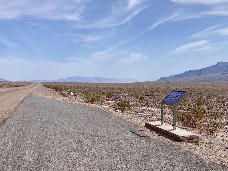
Location. 36° 39.905′ N, 117° 4.092′ W. Marker is in Death Valley National Park, California, in Inyo County. It is on Scotty’s Castle Road one mile north of Daylight Pass Road, on the left when traveling north. Touch for map. Marker is in this post office area: Death Valley CA 92328, United States of America. Touch for directions.

Regionally, this marker is in the Sierra Nevada. It is also in the American Mountain West. Globally, it is in North America, on the Ring of Fire, on the Pacific
Photographed by Craig Baker, March 28, 2025
2. Transportation Traces and Marker
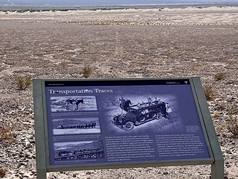
The faint tracks of the wagon road are visible above the center of the sign, in the distance.
Other nearby markers. At least 8 other markers are within 7 miles of this marker, measured as the crow flies: Old Stovepipe Wells (approx. ¾ mile away); Devil’s Cornfield (approx. 3.4 miles away); McLean Spring (approx. 5 miles away); Death Valley’s First Tourist Resort (approx. 5.8 miles away); Burned Wagons Point (approx. 5.9 miles away); Road To Adventure (approx. 6 miles away); Eichbaum Toll Road (approx. 6 miles away); Death Valley National Park (approx. 6.4 miles away). Touch for a list and map of all markers in Death Valley National Park.
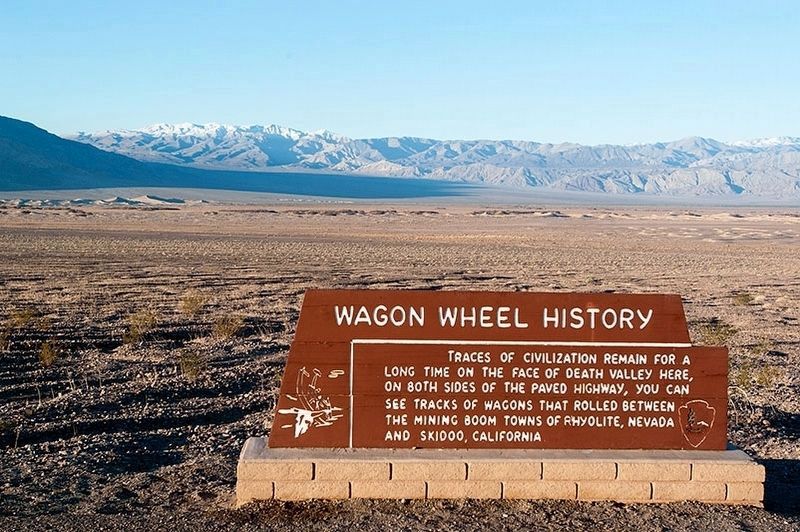
Another marker is no longer nearby. Wagon Wheel History (was a few steps from this marker).
Photographed by Craig Baker, October 27, 2020
3. Wagon Tracks
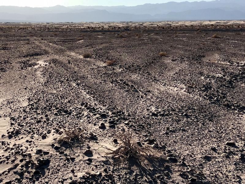
The tracks are difficult to find. Use Google Maps Satellite View to see where they are.
Photographed by Craig Baker, March 28, 2025
4. Transportation Traces Marker
Photographed by Craig Baker, October 27, 2020
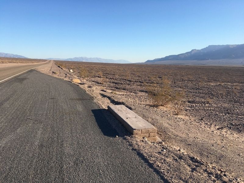
5. Marker Location in 2020
Before installation of the Transportation Traces marker.
Photographed by Alvis Hendley, February 19, 2007
6. Original Marker
Credits. This page was last revised on August 28, 2025. It was originally submitted on August 8, 2024, by Craig Baker of Sylmar, California. This page has been viewed 372 times since then and 30 times this year. Photos: 1. submitted on August 8, 2024. 2. submitted on March 29, 2025, by Craig Baker of Sylmar, California. 3. submitted on October 27, 2020, by Craig Baker of Sylmar, California. 4. submitted on March 29, 2025, by Craig Baker of Sylmar, California. 5. submitted on November 3, 2020, by Craig Baker of Sylmar, California. 6. submitted on April 7, 2016, by Alvis Hendley of San Francisco, California.
