Edinburg in Shenandoah County, Virginia — The American South (Mid-Atlantic)
The Stony Creek Line
“We Shelled the Yanks and the Yanks Shelled Us”
— 1862 Valley Campaign —
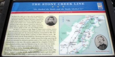
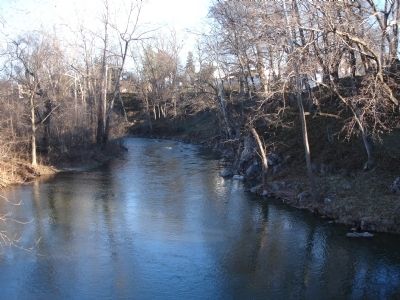
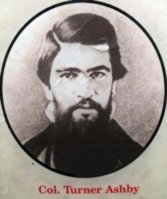
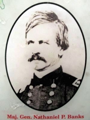
On April 1, a section of Capt. Roger P. Chew’s horse artillery battery went into position on Cemetery Hill south and west of the creek and began a furious cannonade with the advancing Federals commanded by Maj. Gen. Nathaniel P. Banks. George Neese, a gunner in Chew’s Battery wrote, “We shelled the Yanks and the Yanks shelled us. The firing was rapid for a while, and right across the center of town.” Ashby burned the bridge spanning the creek and extended his defensive position south of the creek from the Shenandoah River to the west. His cavalry, supported by a brigade of infantry with attached artillery, kept the Federals at bay for more than two weeks.
Observers noted many incidences of Ashby’s bravery during this period. One day as Ashby, Hotchkiss, and a courier rode along the Stony Creek Line, a Federal sharpshooter fired and killed the courier’s horse. The courier “jumped to his feet to run. Ashby called him back to get his saddle and coolly waited for him under a continuing fire from sharpshooters.”
Erected by Virginia Civil War Trails.
Topics and series. This historical marker is listed in this topic list: War, US Civil. In addition, it is included in the Virginia Civil War Trails series list. A significant historical month for this entry is March 1904.
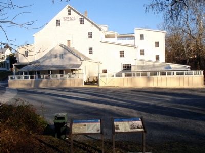
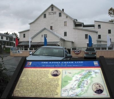
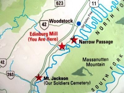
Location. 38° 49.25′ N, 78° 34.092′ W. Marker is in Edinburg, Virginia, in Shenandoah County. Marker is at the intersection of Old Valley Turnpike (U.S. 11) and Massie Farm Lane, on the right when traveling south on Old Valley Turnpike. Marker is located in the parking lot of the Historic Edinburg Mill. Touch for map. Marker is in this post office area: Edinburg VA 22824, United States of America. Touch for directions.
Other nearby markers. At least 8 other markers are within walking distance of this marker. Edinburg Mill (here, next to this marker); Stoney Creek Flood Water Level (within shouting distance of this marker); Schoolhouse Bench (within shouting distance of this marker); Edinburg Mill Rain Garden (within shouting distance of this marker); Wheat Fan (within shouting distance of this marker); Charred Timbers (within shouting distance of this marker); a different marker also named Wheat Fan
(within shouting distance of this marker); Civil War Action in Edinburg (about 600 feet away, measured in a direct line). Touch for a list and map of all markers in Edinburg.
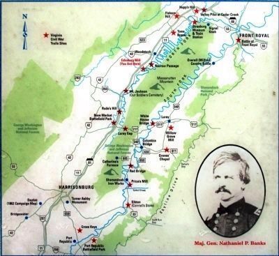
More about this marker. The right side of the marker displays a map of the Shenandoah Valley depicting the location of Virginia Civil War Trails Sites. The marker also displays portraits of Col. Turner Ashby and Maj. Gen. Nathaniel P. Banks.
Also see . . . Turner Ashby. From Wikipedia (Submitted on December 11, 2009.)
Credits. This page was last revised on June 16, 2016. It was originally submitted on December 11, 2009. This page has been viewed 1,696 times since then and 37 times this year. Photos: 1, 2. submitted on December 11, 2009. 3. submitted on October 15, 2014, by Allen C. Browne of Silver Spring, Maryland. 4. submitted on December 11, 2009. 5, 6, 7, 8. submitted on October 15, 2014, by Allen C. Browne of Silver Spring, Maryland. • Craig Swain was the editor who published this page.
