Sault Ste. Marie in Algoma District, Ontario — Central Canada (North America)
Paving Brick
Photographed by Cosmos Mariner, June 10, 2024
1. Paving Brick Marker
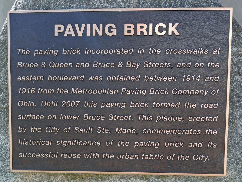
The paving brick incorporated in the crosswalks at Bruce & Queen and Bruce & Bay Streets, and on the eastern boulevard was obtained between 1914 and 1916 from the Metropolitan Paving Brick Company of Ohio. Until 2007 this paving brick formed the road surface on lower Bruce Street. This plaque, erected by the City of Sault Ste. Marie, commemorates the historical significance of the paving brick and its successful reuse with the urban fabric of the City.
Erected by City of Sault Ste. Marie.
Topics. This historical marker is listed in these topic lists: Architecture • Roads & Vehicles. A significant historical year for this entry is 1914.
Location. 46° 30.808′ N, 84° 20.149′ W. Marker is in Sault Ste. Marie, Ontario, in Algoma District. It is at the intersection of Ron Francis Way (Bruce Street) and Queen Street East, on the right when traveling north on Ron Francis Way (Bruce Street). The marker is located beside the sidewalk, near the southwest corner of the intersection. Touch for map. Marker is at or near this postal address: 311 Queen Street East, Sault Ste Marie ON P6A 1Y9, Canada. Touch for directions.

Regionally,
this page online
Other nearby markers. At least 8 other markers are within walking distance of this marker: Sault Ste. Marie Memorial Tower (about 120 meters away, measured in a direct line); Algoma Central Corporation (about 150 meters away); Keystone Lodge (approx. 0.2 kilometers away); Anna Jameson (approx. 0.4 kilometers away); Spirits Rising (approx. 0.4 kilometers away); William Henry “Bill” Orazietti (approx. 0.4 kilometers away); Edison Sault Electric Building (approx. half a kilometer away); Roberta Bondar Park (approx. half a kilometer away). Touch for a list and map of all markers in Sault Ste. Marie.

Photographed by Cosmos Mariner, June 10, 2024
2. Paving Brick Marker
The marker is mounted on a 30-inch-tall boulder.
Photographed by Cosmos Mariner, June 10, 2024
3. Paving Brick Marker
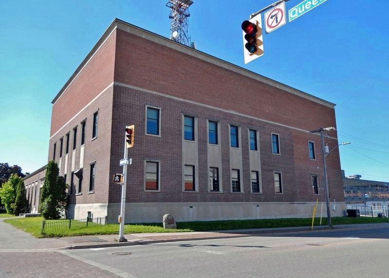
Looking south across Ron Francis Way (Bruce Street). A Bell Telephone of Canada building is in the background. Paving brick has been used in the crosswalk (left foreground).
Photographed by Cosmos Mariner, June 10, 2024
4. Paving Brick Crosswalk
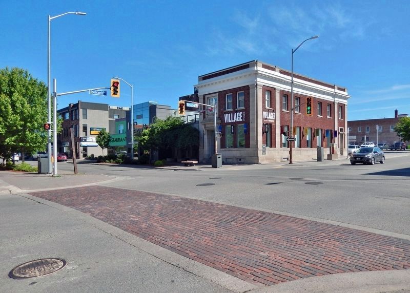
Looking north across the intersection from the marker. The brick has been used for this crosswalk across Roy Francis Way (Bruce Street).
Credits. This page was last revised on August 11, 2024. It was originally submitted on August 11, 2024, by Cosmos Mariner of Cape Canaveral, Florida. This page has been viewed 136 times since then and 24 times this year. Photos: 1, 2, 3, 4. submitted on August 11, 2024, by Cosmos Mariner of Cape Canaveral, Florida.
