Ipswich in Essex County, Massachusetts — The American Northeast (New England)
Market Street
Photographed by Marc Posner, July 8, 2024
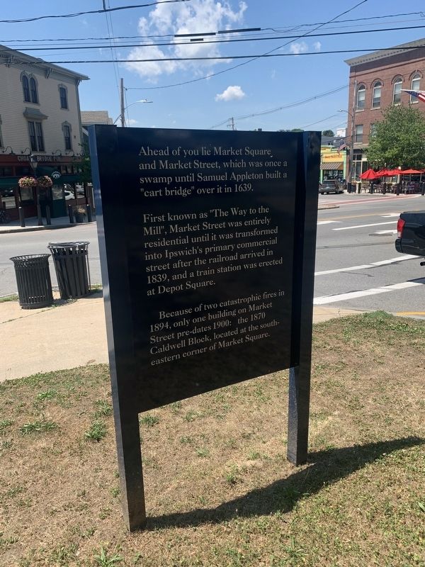
1. Market Street Marker
Ahead of you lie Market Square and Market Street, which was once a swamp until Samuel Appleton build a “cart bridge” over it in 1639.
First known as "The Way to the Mill", Market Street was entirely residential until it was transformed into Ipswich's primary commercial street after the railroad arrived in 1839, and a train station was erected at Depot Square.
Because of two catastrophic fires in 1894, only one building on Market Street pre-dates 1900: the 1870 Caldwell Block, located at the southeastern corner of Market Square.
Topics. This historical marker is listed in these topic lists: Architecture • Colonial Era • Railroads & Streetcars. A significant historical year for this entry is 1639.
Location. 42° 40.802′ N, 70° 50.232′ W. Marker is in Ipswich, Massachusetts, in Essex County. It is at the intersection of South Main Street and Market Street, on the right when traveling north on South Main Street. Touch for map. Marker is in this post office area: Ipswich MA 01938, United States of America. Touch for directions.

Regionally, this marker is on the North Shore, in Greater Boston, and in the Merrimack
this page online
Other nearby markers. At least 8 other markers are within walking distance of this marker: The Unknown Dead (a few steps from this marker); Ipswich Civil War Monument (about 300 feet away, measured in a direct line); American Legion Auxiliary Unit No 80 (about 400 feet away); In Memory of Ipswich Soldiers and Sailors (about 400 feet away); Meetinghouse Green (about 400 feet away); Lafayette's Tour (about 500 feet away); Revolution of 1689 (about 600 feet away); The District (about 600 feet away). Touch for a list and map of all markers in Ipswich.
Photographed by Marc Posner, July 8, 2024
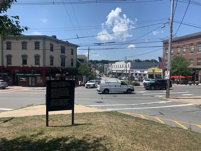
2. Intersection of North & South Main & Market Streets
Credits. This page was last revised on August 17, 2024. It was originally submitted on August 11, 2024, by Marc Posner of Somerville, Massachusetts. This page has been viewed 197 times since then and 29 times this year. Photos: 1, 2. submitted on August 11, 2024, by Marc Posner of Somerville, Massachusetts. • Michael Herrick was the editor who published this page.
