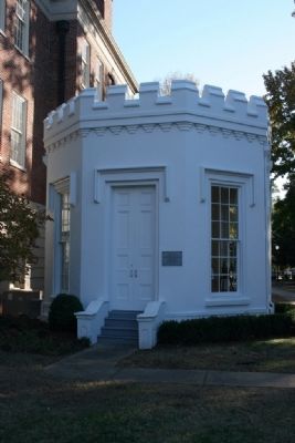
Tuscaloosa in Tuscaloosa County, Alabama — The American South (East South Central)
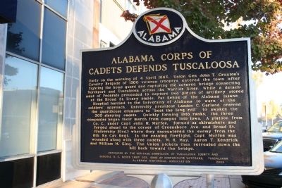
Alabama Corps Of Cadets Defends Tuscaloosa
Early on the morning of 4 April 1865, Union Gen John T. Croxton's Cavalry Brigade of 1500 veteran troopers entered the town after fighting the home guard and capturing the covered bridge connecting Northport and Tuscaloosa across the Warrior River. While a detachment of Federals proceeded to capture two pieces of artillery stored at the Broad St. livery stable, Pat Kehoe of the Alabama Insane Hospital hurried to the University of Alabama to warn of the soldier's approach. University president Landon C. Garland ordered the guardhouse drummers to "beat the long roll" to awaken the 300 sleeping cadets. Quickly forming into ranks, the three companies began their march from campus into town. A platoon from Co. C, under Capt John H. Murfee, formed as skirmishers and forged ahead to the corner of Greensboro Ave. and Broad St. (University Blvd.) where they encountered the enemy from the 6th Ky Cav Regt. In the ensuing firefight, Capt Murfee was wounded along with three cadets, W. R. May, Aaron T. Kendrick and William M. King. The Union pickets then retreated down the hill back toward the bridge.
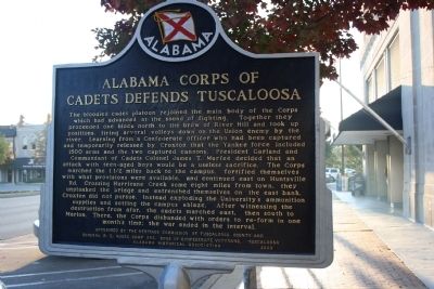
(Marker Reverse):
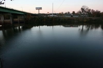
The bloodied cadet platoon rejoined the main body of the Corps which had advanced at the sound of fighting. Together they proceeded one block north to the brow of River Hill and took up positions, firing several volleys down on the Union enemy by the river. Learning from a Confederate officer who had been captured and temporarily released by Croxton that the Yankee force included 1500 arms and the two captured cannons, President Garland and Commandant of Cadets Colonel James T. Murfee decided that an attack with teen-aged boys would be a useless sacrifice. The Corps marched the 1 1/2 miles back to the campus, fortified themselves with what provisions were available, and continued east on Huntsville Rd. Crossing Hurricane Creek some eight miles from town, they unplanked the bridge and entrenched themselves on the east bank. Croxton did not pursue, instead exploding the University's ammunition supplies and setting the campus ablaze. After witnessing the destruction from afar, the cadets marched east, then south to Marion. There, the Corps disbanded with orders to re-form in one month's time; the war ended in the interval.
Erected 2003 by Alabama Historical Association / The Heritage Commission of Tuscaloosa County / General R. E. Rodes Camp 262 / Sons of Confederate Veterans.
Topics and series. This historical marker is listed in this topic list: War, US Civil. In addition, it is included in the Alabama Historical Association, and the Sons of Confederate Veterans/United Confederate Veterans series lists. A significant historical date for this entry is April 4, 1865.
Location.
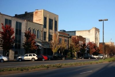
33° 12.612′ N, 87° 34.068′ W. Marker is in Tuscaloosa, Alabama, in Tuscaloosa County. Marker is on University Boulevard, on the right when traveling west. Touch for map. Marker is at or near this postal address: 2330 University Boulevard, Tuscaloosa AL 35401, United States of America. Touch for directions.
Other nearby markers. At least 8 other markers are within walking distance of this marker. Brown's Dollar Store (within shouting distance of this marker); Tuscaloosa City Hall (about 700 feet away, measured in a direct line); Christ Episcopal Church (about 700 feet away); Margaret M. DuPont (about 800 feet away); Where Are We? (approx. 0.2 miles away); Why Are We Here? (approx. 0.2 miles away); The Earliest Tuscaloosans and Our Namesake (approx. 0.2 miles away); April 2011 Tornado Outbreak (approx. 0.2 miles away). Touch for a list and map of all markers in Tuscaloosa.
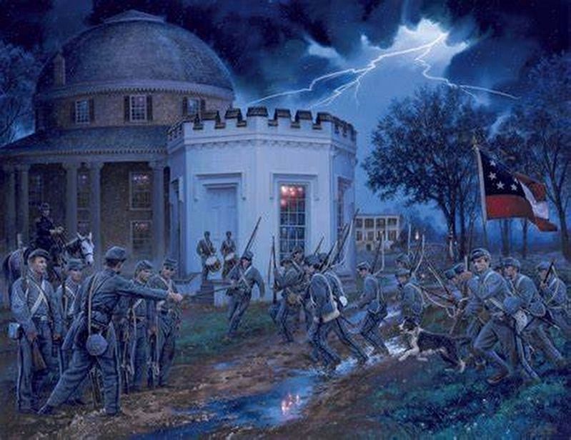
via The Historic Art of John Paul Strain, unknown
6. "Alabama Corps of Cadets Call to Battle"
This painting by John Paul Strain was commissioned by the University of Alabama to commemorate the 145th anniversary of the defense of the campus by the Alabama Corps of Cadets. The guardhouse pictured above is the central image.
Credits. This page was last revised on February 23, 2022. It was originally submitted on December 11, 2009, by Timothy Carr of Birmingham, Alabama. This page has been viewed 3,617 times since then and 34 times this year. Photos: 1, 2, 3, 4, 5. submitted on December 11, 2009, by Timothy Carr of Birmingham, Alabama. 6. submitted on February 23, 2022, by Larry Gertner of New York, New York. • Craig Swain was the editor who published this page.
