Marker Logo
THE HISTORICAL
MARKER DATABASE
“Bite-Size Bits of Local, National, and Global History”
Brooklyn Heights in Kings County, New York — The American Northeast (Mid-Atlantic)
 

Brooklyn Heights Historic District

New York Landmarks Preservation Foundation
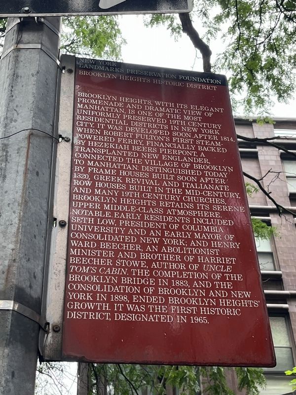
 
 
Brooklyn Heights Historic District Marker image. Click for full size.
Photographed by Devry Becker Jones (CC0), August 8, 2024
1. Brooklyn Heights Historic District Marker
Inscription. Brooklyn Heights, with its elegant promenade and dramatic view of Manhattan, is one of the most uniformly preserved 19th century residential districts in New York City. It was developed soon after 1814, when Robert Fulton's first steam-powered ferry, financially backed by Hezekiah Beers Pierpont, a transplanted New Englander, connected the village of Brooklyn to Manhattan. Distinguished today by frame houses built soon after 1820, Greek Revival and Italianate row houses built in the mid-century, and many 19th century churches, Brooklyn Heights retains its serene upper middle-class atmosphere. Notable early residents included Seth Low, president of Columbia University and an early mayor of consolidated New York; and Henry Ward Beecher, an Abolitionist minister and brother of Harriet Beecher Stowe, author of "Uncle Tom's Cabin." The completion of the Brooklyn Bridge in 1883, and the consolidation of Brooklyn and New York in 1898, ended Brooklyn Heights' growth. It was the first historic district, designated in 1965.
 
Erected by New York Landmarks Preservation Foundation.
 
Topics. This historical marker is listed
Paid Advertisement
Click or scan to see
this page online
in these topic lists: ArchitectureLandmarksSettlements & SettlersWaterways & Vessels. A significant historical year for this entry is 1814.
 
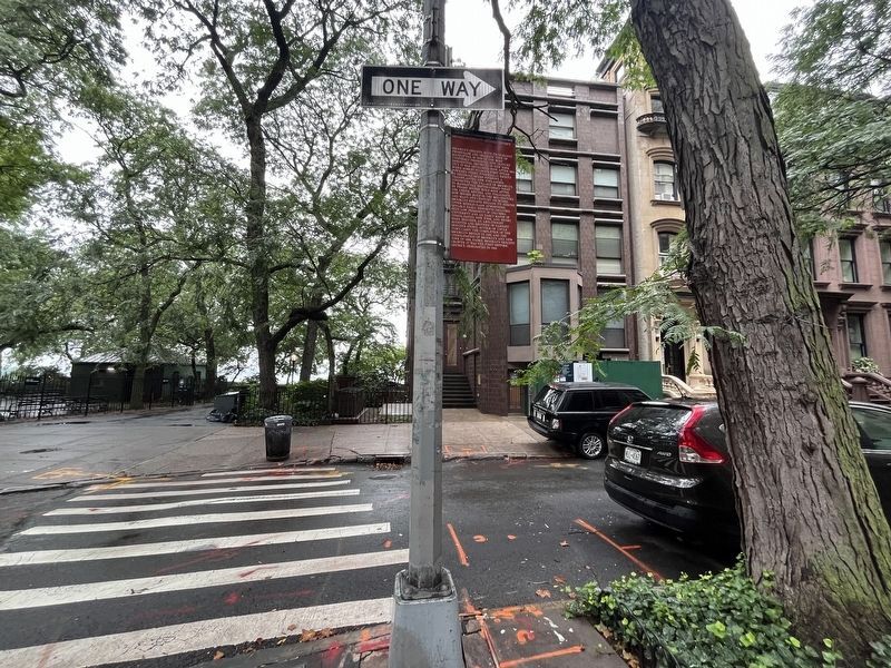
Location. 40° 41.786′ N, 73° 59.831′ W. Marker is in Brooklyn, New York, in Kings County. It is in Brooklyn Heights. It is at the intersection of Pierrepont Street and Columbia Heights, on the right when traveling west on Pierrepont Street. Touch for map. Marker is at or near this postal address: 3 Pierrepont St, Brooklyn NY 11201, United States of America. Touch for directions.

Regionally, this marker is in New York City. It is also in the American Northeast and on the Eastern Seaboard. Globally, it is in North America and the Western World. Historically, it finds itself in what was once one of the original Thirteen Colonies.

Other nearby markers. At least 8 other markers are within walking distance of this marker: Brooklyn Heights / Downtown Brooklyn (about 300 feet away, measured in a direct line); 155 - 157 - 159 Willow Street (about 300 feet away); Four Chimneys (about 300 feet away); Dawn Redwood (about 300 feet away); W.H. Auden (about 400 feet away); Arthur Miller
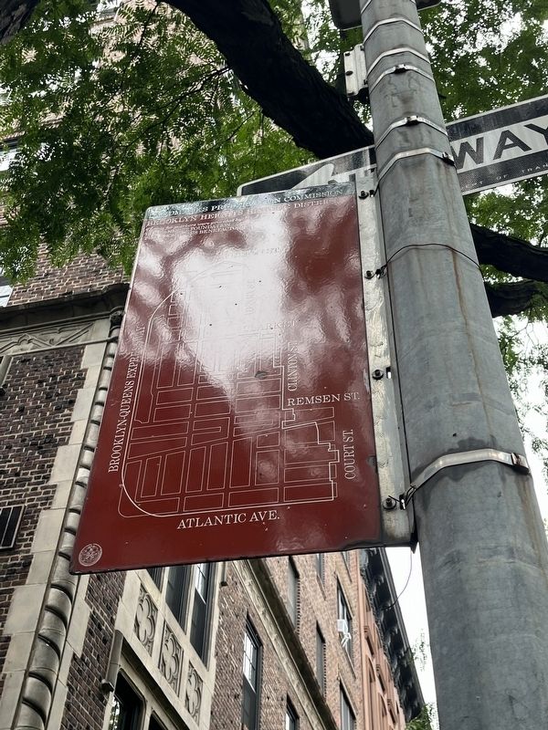
Brooklyn Heights Historic District Marker image. Click for full size.
Photographed by Devry Becker Jones (CC0), August 8, 2024
2. Brooklyn Heights Historic District Marker
(about 400 feet away); Thomas Wolfe (about 400 feet away); History in the Park (about 500 feet away). Touch for a list and map of all markers in Brooklyn.
 
Brooklyn Heights Historic District Marker image. Click for full size.
Photographed by Devry Becker Jones (CC0), August 8, 2024
3. Brooklyn Heights Historic District Marker
 
 
Credits. This page was last revised on August 11, 2024. It was originally submitted on August 11, 2024, by Devry Becker Jones of Washington, District of Columbia. This page has been viewed 169 times since then and 15 times this year. Photos:   1, 2, 3. submitted on August 11, 2024, by Devry Becker Jones of Washington, District of Columbia.

m=253874

CeraNet Cloud Computing sponsors the Historical Marker Database.
This website earns income from purchases you make after using our links to Amazon.com. We appreciate your support.
Paid Advertisement
Jul. 31, 2026