
Bedford-Stuyvesant in Brooklyn in Kings County, New York — The American Northeast (Mid-Atlantic)
Herbert Von King Park
What was here before?
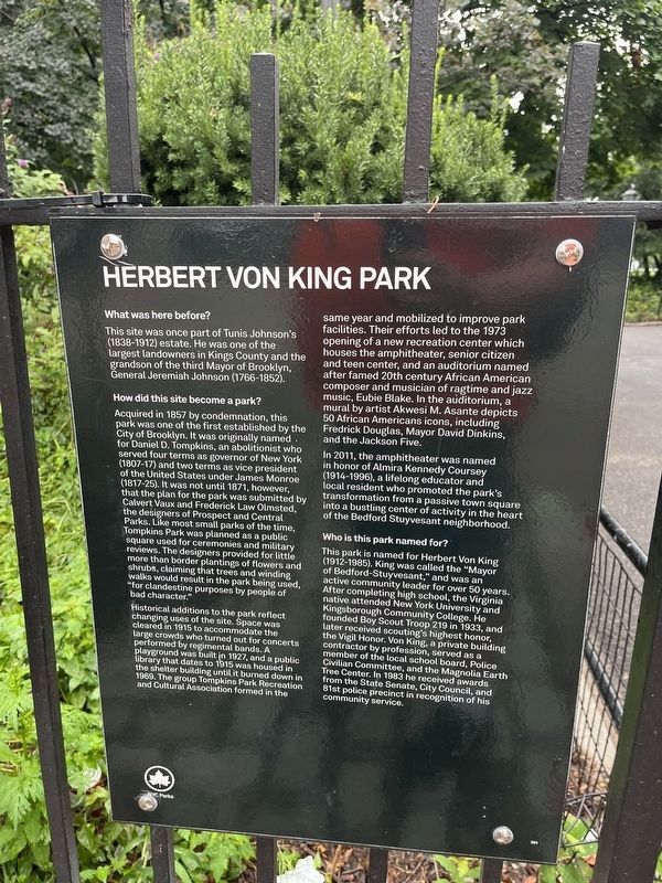
This site was once part of Tunis Johnson's (1838-1912) estate. He was one of the largest landowners in Kings County and the grandson of the third Mayor of Brooklyn, General Jeremiah Johnson (1766-1852).
How did this site become a park?
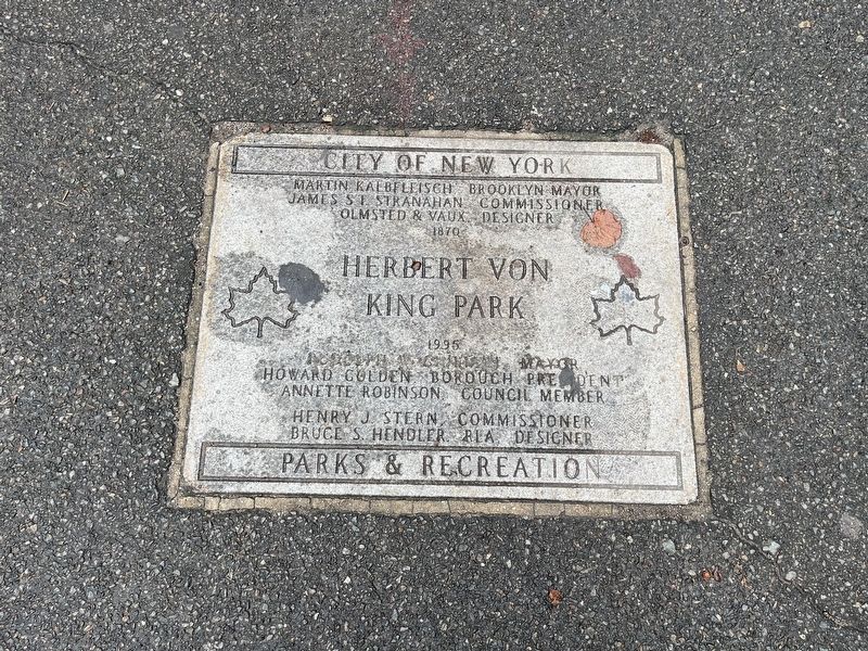
Acquired in 1857 by condemnation, this park was one of the first established by the City of Brooklyn. It was originally named for Daniel D. Tompkins, an abolitionist who served four terms as governor of New York (1807-17) and two terms as vice president of the United States under James Monroe (1817-25). It was not until 1871, however, that the plan for the park was submitted by Calvert Vaux and Frederick Law Olmsted, the designers of Prospect and Central Parks. Like most small parks of the time, Tompkins Park was planned as a public square used for ceremonies and military reviews. The designers provided for little more than border plantings of flowers and shrubs, claiming that trees and winding walks would result in the park being used, "for clandestine purposes by people of bad character."
Historical additions to the park reflect changing uses of the site. Space
this page online
In 2011, the amphitheater was named in honor of Almira Kennedy Coursey (1914-1996), a lifelong educator and local resident who promoted the park's transformation from a passive town square into a bustling center of activity in the heart of the Bedford Stuyvesant neighborhood
Who is this park named for?
This park is named for Herbert Von King (1912-1985).
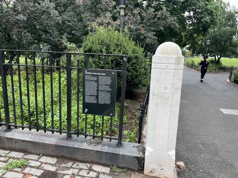
Erected by NYC Parks. (Marker Number 301.)
Topics and series. This historical marker is listed in these topic lists: African Americans • Architecture • Fraternal or Sororal Organizations • Parks & Recreational Areas. In addition, it is included in the Former U.S. Presidents: #05 James Monroe, and the NYC Parks series lists. A significant historical year for this entry is 1857.
Location. 40° 41.339′ N, 73° 56.862′ W. Marker is in Brooklyn, New York, in Kings County. It is in Bedford-Stuyvesant. It is at the intersection

Regionally, this marker is in New York City and on Long Island. It is also in the American Northeast, in the Mid-Atlantic, and on the Eastern Seaboard. Globally, it is in the North Atlantic Region, North America, the Western Hemisphere, the Western World, and the Anglosphere. Historically, it finds itself in what was once New Netherland and also one of the original Thirteen Colonies.
Other nearby markers. At least 8 other markers are within walking distance of this marker: Banneker Playground (about 700 feet away, measured in a direct line); Hattie Carthan Playground (approx. ¼ mile away); Eleanor Roosevelt Playground (approx. 0.7 miles away); Classon FulGate Block Association Garden (approx. 0.7 miles away); The Shoe Factory Building (approx. 0.7 miles away); World War I Memorial (approx. 0.8 miles away); The Vendome (approx. 0.8 miles away); Clinton Hill Historic District (approx. 0.8 miles away). Touch for a list and map of all markers in Brooklyn.
Credits. This page was last revised on August 11, 2024. It was originally submitted on August 11, 2024, by Devry Becker Jones of Washington, District of Columbia. This page has been viewed 223 times since then and 24 times this year. Photos: 1, 2, 3. submitted on August 11, 2024, by Devry Becker Jones of Washington, District of Columbia.
