
Shenandoah National Park near Grottoes in Rockingham County, Virginia — The American South (Mid-Atlantic)
Jackson's Valley Campaign
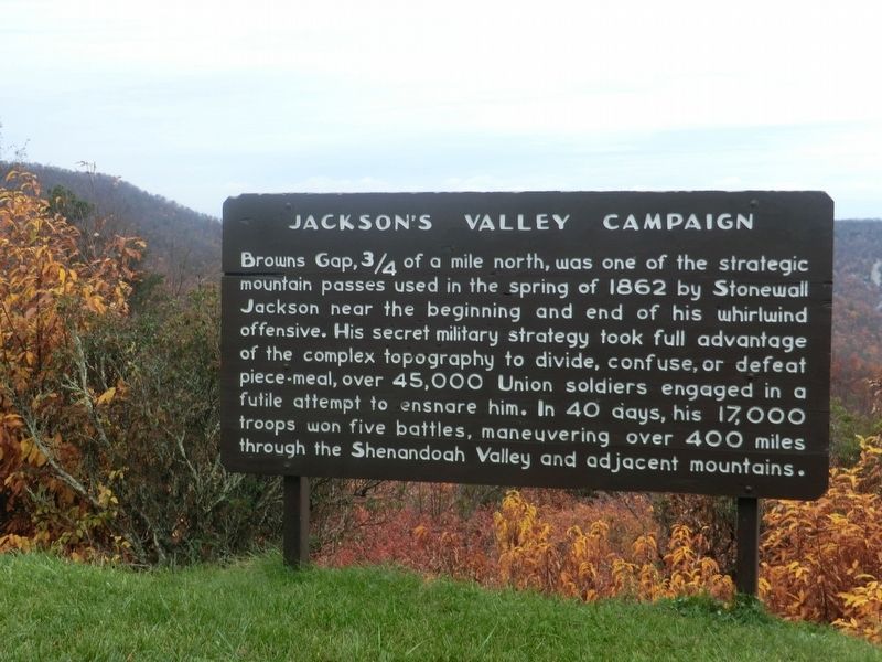
Photographed by Don Morfe, October 28, 2011
1. Jackson's Valley Campaign Marker
See better image below.
Erected by National Park Service.
Topics. This historical marker is listed in this topic list: War, US Civil. A significant historical year for this entry is 1862.
Location. 38° 14.073′ N, 78° 43.292′ W. Marker is near Grottoes, Virginia, in Rockingham County. It is in Shenandoah National Park. It is on Skyline Drive, on the right when traveling south. Located at the Dundo Overlook. Touch for map. Marker is in this post office area: Grottoes VA 24441, United States of America. Touch for directions.

Regionally, this marker is in Virginia’s Shenandoah Valley. It is also in the American South and specifically in the Upper South.
this page online
Other nearby markers. At least 8 other markers are within 5 miles of this marker, measured as the crow flies: Civilian Conservation Corps (approx. 0.2 miles away); Big Run Watershed (approx. 1.7 miles away); Appalachian Trail (approx. 1.7 miles away); Nature Without Us, For Us (approx. 2.4 miles away); What's Special about Shenandoah? (approx. 3.8 miles away); Skyline Drive (approx. 3.8 miles away); Shenandoah’s Deer (approx. 3.8 miles away); Rekindling Nature (approx. 4.4 miles away). Touch for a list and map of all markers in Grottoes.
Photographed by Don Morfe, October 28, 2011
2. Jackson's Valley Campaign Marker
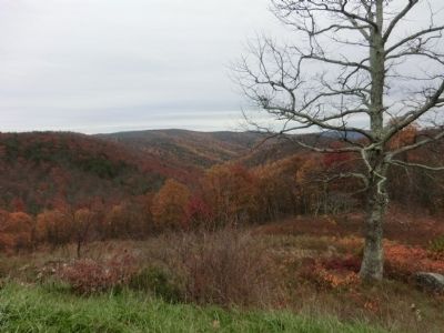
Photographed by Don Morfe, October 28, 2011
3. Jackson's Valley Campaign Marker
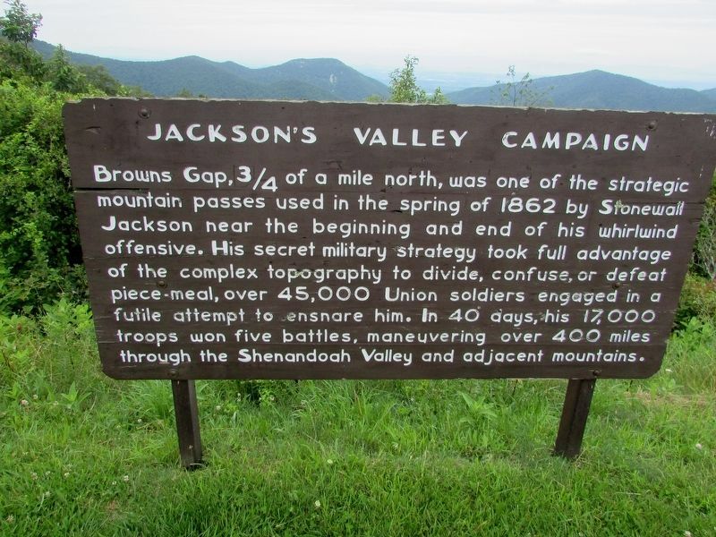
Photographed by Bill Coughlin, July 15, 2015
4. Jackson's Valley Campaign Marker
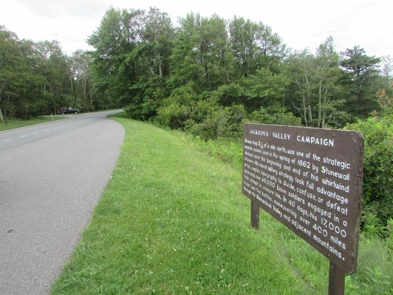
Photographed by Bill Coughlin, July 15, 2016
5. Jackson's Valley Campaign Marker
Marker is located just north of the Dundo Picnic Ground seen in the background.
Credits. This page was last revised on August 13, 2024. It was originally submitted on November 23, 2012, by Don Morfe of Baltimore, Maryland. This page has been viewed 959 times since then and 22 times this year. Last updated on August 13, 2024, by Carl Gordon Moore Jr. of North East, Maryland. Photos: 1, 2, 3. submitted on November 23, 2012, by Don Morfe of Baltimore, Maryland. 4, 5. submitted on July 15, 2016, by Bill Coughlin of Woodland Park, New Jersey. • Bernard Fisher was the editor who published this page.
