Bedford-Stuyvesant in Brooklyn in Kings County, New York — The American Northeast (Mid-Atlantic)
John the Baptist Community Garden
A member of the Brooklyn Queens Land Trust
| — | A nonprofit organization protecting land for public use | — |
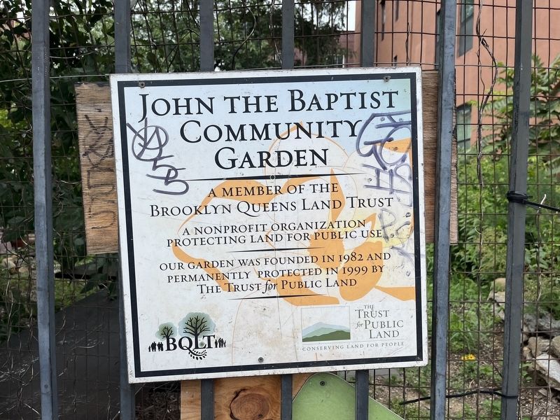
Erected by Brooklyn Queens Land Trust; The Trust for Public Land.
Topics. This historical marker is listed in these topic lists: Horticulture & Forestry • Parks & Recreational Areas. A significant historical year for this entry is 1982.
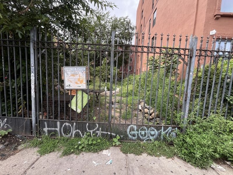
Location. 40° 41.785′ N, 73° 56.09′ W. Marker is in Brooklyn, New York, in Kings County. It is in Bedford-Stuyvesant. It is on Stuyvesant Avenue just north of Vernon Avenue, on the right when traveling south. Touch for map. Marker is at or near this postal address: 10 Stuyvesant Ave, Brooklyn NY 11221, United States of America. Touch for directions.

Regionally, this marker is in New York City and on Long Island. It is also in the American Northeast, in the Mid-Atlantic, and on the Eastern Seaboard. Globally, it is in the North Atlantic Region, North America, the Western Hemisphere, the Western World, and the Anglosphere. Historically, it finds itself in what was once New Netherland and also one of the original Thirteen Colonies.
Other nearby markers. At least 8 other markers
this page online
Credits. This page was last revised on August 13, 2024. It was originally submitted on August 13, 2024, by Devry Becker Jones of Washington, District of Columbia. This page has been viewed 181 times since then and 25 times this year. Photos: 1, 2. submitted on August 13, 2024, by Devry Becker Jones of Washington, District of Columbia.
