Huntersville in Mecklenburg County, North Carolina — The American South (South Atlantic)
Major John Davidson
Photographed by Mark Parker, January 15, 2024
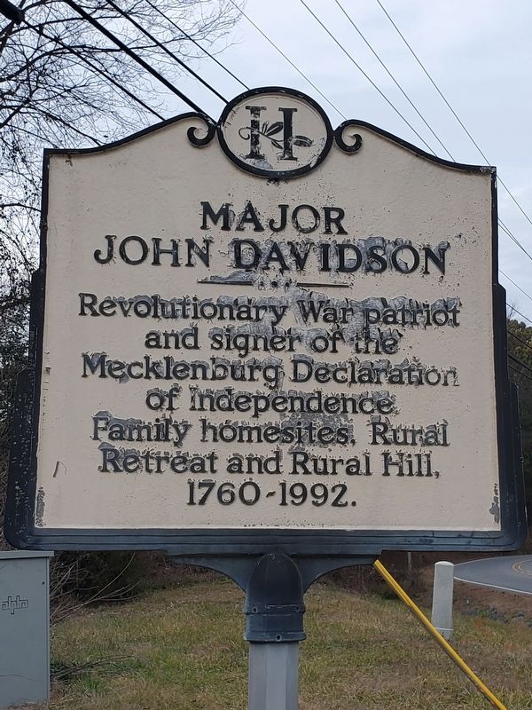
1. Major John Davidson Marker
Revolutionary War patriot and signer of the Mecklenburg Declaration of Independence. Family homesites, Rural Retreat and Rural Hill, 1760-1992.
Erected by City of Huntersville.
Topics. This historical marker is listed in these topic lists: Colonial Era • Settlements & Settlers • War, US Revolutionary. A significant historical year for this entry is 1760.
Location. 35° 22.785′ N, 80° 55.096′ W. Marker is in Huntersville, North Carolina, in Mecklenburg County. It is at the intersection of Beatties Ford Road and Neck Road, on the right when traveling south on Beatties Ford Road. Touch for map. Marker is at or near this postal address: 12103 Beatties Ford Rd, Huntersville NC 28078, United States of America. Touch for directions.

Regionally, this marker is in the Piedmont and in Greater Charlotte. It is also in the American South and specifically in the Upper South. Globally, it is in North America, the Western Hemisphere, the Western World, and the Anglosphere. Historically, it finds itself in what was once the territory of the Mississippian Culture, one of the original Thirteen Colonies, one of
this page online
Other nearby markers. At least 8 other markers are within 2 miles of this marker, measured as the crow flies: Richard Barry (approx. 0.2 miles away); The Tanner (approx. 0.3 miles away); The First Sermon of Hopewell Presbyterian Church (approx. 0.3 miles away); Site of 146 Acre Asa Stephens Farm (approx. 0.9 miles away); William Lee Davidson (approx. 1.4 miles away); The Church Building (approx. 1.4 miles away); In Memory of the Revolutionary War Patriots of Hopewell Presbyterian Church (approx. 1½ miles away); William Graham (approx. 1½ miles away). Touch for a list and map of all markers in Huntersville.
Photographed by Mark Parker, January 15, 2024
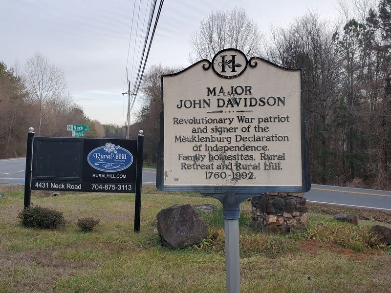
2. Wide view of Major John Davidson Marker at intersection of Beatties and Neck Roads.
Photographed by Mark Parker, January 15, 2024
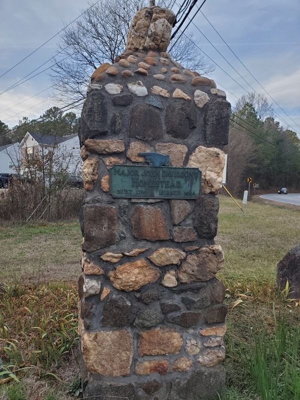
3. Directional sign on stone pillar near the Davidson marker
Plaque inscription:
Major John Davidson's Homestead.
Built 1788. Burned 1886.
Major John Davidson's Homestead.
Built 1788. Burned 1886.
Photographed by Mark Parker, January 15, 2024
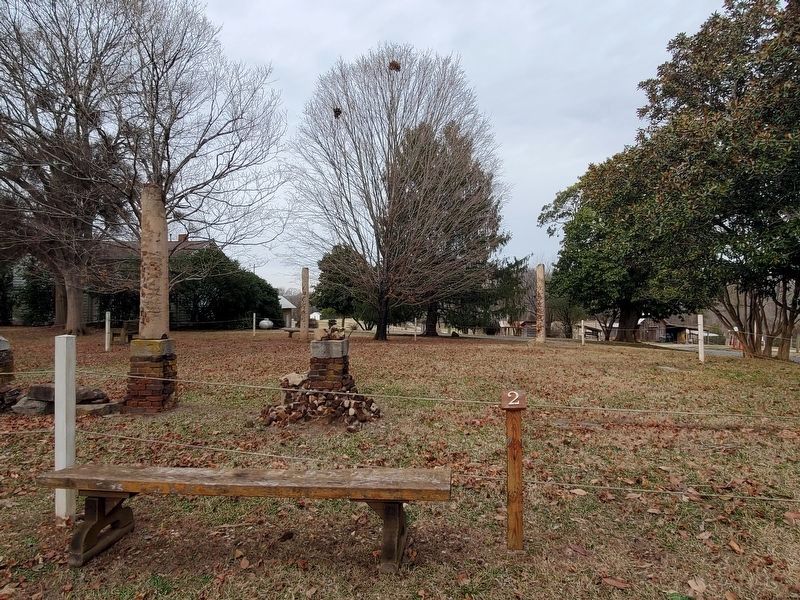
4. Site of Rural Hill Mansion which burned in 1886
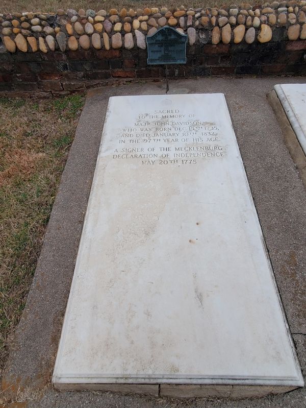
Photographed by Mark Parker, January 15, 2024
5. Major John Davidson grave site and Rural Hill cemetery
Credits. This page was last revised on August 14, 2024. It was originally submitted on August 13, 2024, by Mark Parker of Hickory, North Carolina. This page has been viewed 340 times since then and 71 times this year. Photos: 1, 2, 3, 4, 5. submitted on August 13, 2024, by Mark Parker of Hickory, North Carolina. • Bernard Fisher was the editor who published this page.
