Energy Corridor in Houston in Harris County, Texas — The American South (West South Central)
Wheaton's Ford on the San Felipe Trail

Photographed by James Hulse, August 11, 2024
1. Wheaton's Ford on the San Felipe Trail Marker
In 1831, colonial empresario Stephen F. Austin granted a league and a labor of land (4,605 acres) at this location to Joel and Elizabeth Wheaton. They established a home and traveler's inn a few hundred feet southeast of the current Highway 6 bridge. At that time this site was an important ford across Buffalo Bayou along the San Felipe Trail. Joel
this page online
Captions
Mexican land grants by 1824
Joel and Elizabeth Wheaton's inn, as it looked in the 1890s. Note the separate entrances for family and guests. Image courtesy of Marie Neuman Gray.
Ox cart and driver. From Edward King's The Great South, 1875.
Erected by Harris County Historical Commission.
Topics. This historical marker is listed in these topic lists: African Americans • Roads & Vehicles • Settlements & Settlers • War, Texas Independence. A significant historical year for this entry is 1830.
Location. 29° 46.155′ N,
Photographed by James Hulse, August 11, 2024
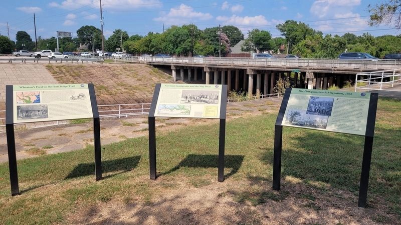
2. Wheaton's Ford on the San Felipe Trail Marker (left marker)
The Highway 6 bridge is in the background of the markers.

Regionally, this marker is in the American South and on the Gulf Coast. Globally, it is in North America, a Gulf of Mexico state, the Western Hemisphere, the Western World, and the Anglosphere. Historically, it finds itself in what was once New Spain, the Republic of Texas, one of the Confederate States of America, and the Antebellum South.
Other nearby markers. At least 8 other markers are within 4 miles of this marker, measured as the crow flies: German Immigrants and the Way West (here, next to this marker); The Post-Juneteenth Migration, 1865 (here, next to this marker); Rabindranath Tagore (approx. 1.7 miles away); Gray Lodge No. 329, A.F.& A.M. (approx. 2.2 miles
Photographed by James Hulse, August 11, 2024
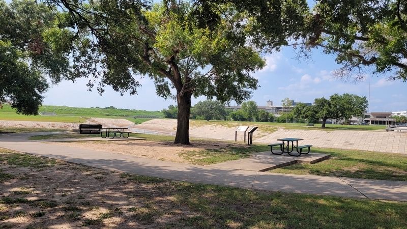
3. The markers next to Addicks Dam and Buffalo Bayou
Credits. This page was last revised on August 14, 2024. It was originally submitted on August 13, 2024, by James Hulse of Medina, Texas. This page has been viewed 457 times since then and 53 times this year. Photos: 1, 2, 3. submitted on August 14, 2024, by James Hulse of Medina, Texas.
