Woodbury in Cannon County, Tennessee — The American South (East South Central)
The Trail of Tears
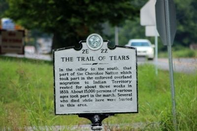
Photographed by Deanna Lack, August 5, 2014
1. The Trail of Tears Marker
Erected by Tennessee Historical Commission. (Marker Number 2E 22.)
Topics and series. This historical marker is listed in this topic list: Indigenous Peoples and Communities. In addition, it is included in the Tennessee Historical Commission series list. A significant historical year for this entry is 1839.
Location. 35° 49.522′ N, 86° 3.382′ W. Marker is in Woodbury, Tennessee, in Cannon County. It is on McMinnville Highway (U.S. 70S) west of Gassaway Road. Touch for map. Marker is in this post office area: Woodbury TN 37190, United States of America. Touch for directions.

Regionally, this marker is in Middle Tennessee and in the Highland Rim. It is also in the American South and specifically in the Upper South. Globally, it is in North America, the Western Hemisphere, the Western World, and the Anglosphere. Historically, it finds
this page online
Other nearby markers. At least 8 other markers are within 2 miles of this marker, measured as the crow flies: Forrest Rested Here (about 500 feet away, measured in a direct line); Woodbury in the Civil War (approx. 0.8 miles away); East Fork Stone's River (approx. 0.8 miles away); World War I-II Memorial (approx. 0.8 miles away); Early Industry (approx. 0.8 miles away); Highway 70S Mile Marker Stone (approx. 0.8 miles away); Baptist Female College – Adams House (approx. 1.1 miles away); Cannon County Confederate Monument (approx. 1.7 miles away). Touch for a list and map of all markers in Woodbury.
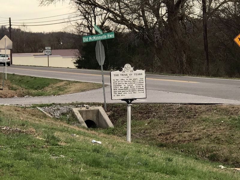
Photographed by Duane Marsteller
2. The Trail of Tears Marker
Credits. This page was last revised on August 15, 2024. It was originally submitted on August 12, 2014, by Deanna Lack of Sparta, Tennessee. This page has been viewed 1,929 times since then and 131 times this year. Last updated on August 15, 2024, by Edward Troxel of Creal Springs, Illinois. Photos: 1. submitted on August 12, 2014, by Deanna Lack of Sparta, Tennessee. 2. submitted on February 15, 2020, by Duane and Tracy Marsteller of Murfreesboro, Tennessee. • J. Makali Bruton was the editor who published this page.
