Lawrence Township near Zoar in Tuscarawas County, Ohio — The American Midwest (Great Lakes)
Zoar Cemetery
Photographed by Mike Wintermantel, March 15, 2015
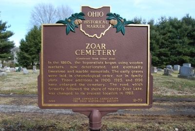
1. Zoar Cemetery Marker Reverse
Here, in what has been described as "God's Acre," is the final resting place of members of the Society of Separatists of Zoar (1817-1898) as well as today's descendants and residents. The early Zoarites' simple religion forbade headstones, believing all were equal in death. These early burials, including fifty who perished in an 1834 cholera epidemic, are to your left. The headstone of Zoar leader Joseph Bimeler was erected later.
In the 1860s, the Separatists began using wooden markers, now deteriorated, and eventually limestone and marble memorials. The early graves were laid in chronological order, not in family plots. Three additions in 1900, 1925, and 1996 have enlarged the cemetery. The road, which formerly followed the shore of nearby Zoar Lake, was changed to its present location in 1925.
Erected 2006 by Zoar Community Association and Ohio Historical Society. (Marker Number 18-79.)
Topics and series. This historical marker is listed in this topic list: Cemeteries & Burial Sites. In addition, it is included in the Ohio Historical Society / The Ohio History Connection series list. A significant historical year for this entry is 1834.
Location. Marker
this page online

Regionally, this marker was in Amish Country. It was also in the American Midwest, in Appalachia, and specifically in Northern Appalachia. Globally, it was in North America, the Western Hemisphere, the Western World, and the Anglosphere. Historically, it found itself in what was once the Haudenosaunee (Iroquois) Confederacy, the territory of the Mississippian Culture, and the Northwest Territory.
Other nearby markers. At least 8 other markers are within walking distance of this location: Oldest Building in Zoar (approx. 0.3 miles away); Zoar Meeting House (approx. 0.3 miles away); Zoar Garden (approx. 0.4 miles away); Zoar Village (approx.
Photographed by Mike Wintermantel, March 15, 2015
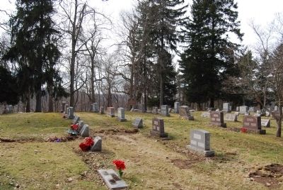
2. Zoar Cemetery Marker
The front of the marker can be seen in this view at a distance.
Photographed by Mike Wintermantel, March 15, 2015
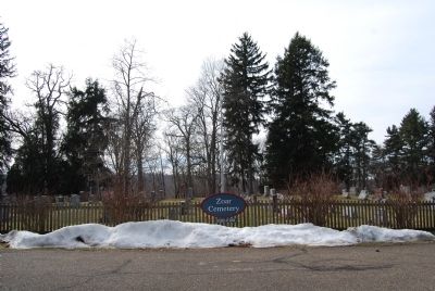
3. Zoar Cemetery
Photographed by Grant & Mary Ann Fish, August 18, 2024
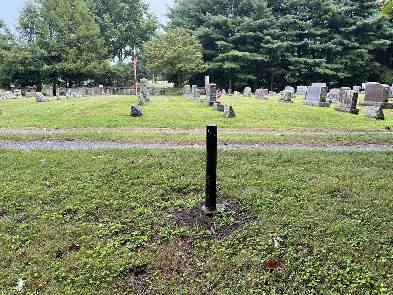
4. Zoar Cemetery Marker Missing
Credits. This page was last revised on August 20, 2024. It was originally submitted on March 16, 2015, by Mike Wintermantel of Pittsburgh, Pennsylvania. This page has been viewed 1,226 times since then and 65 times this year. Last updated on August 18, 2024, by Grant & Mary Ann Fish of Galloway, Ohio. Photos: 1, 2, 3. submitted on March 16, 2015, by Mike Wintermantel of Pittsburgh, Pennsylvania. 4. submitted on August 18, 2024, by Grant & Mary Ann Fish of Galloway, Ohio. • Devry Becker Jones was the editor who published this page.
Editor’s want-list for this marker. A close-up photo of the front of the marker. • Can you help?
