Hoover Dam in Mohave County, Arizona — The American Mountains (Southwest)
Then and Now
Photographed by Tom Bosse, July 20, 2024
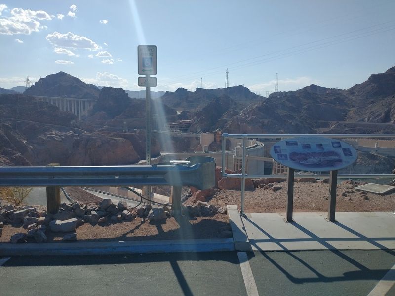
1. Then and Now Marker
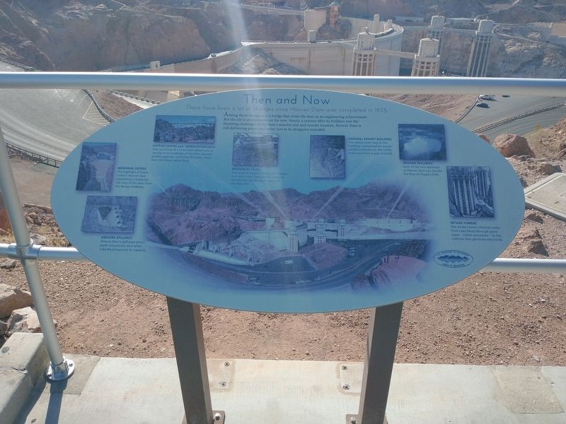
There have been a lot of changes since Hoover Dam was complete in 1935.
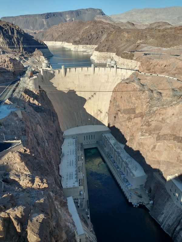
Among those changes are a bridge that rivals the dam as an engineering achievement. But the old is as impressive as the new. Nearly a century after its builders met the daunting challenges of the dam’s massive size and remove location, Hoover Dam is still delivering power and water just as its designers intended.
[Caption]: Arizona Spillway. Hoover Dam’s spillways direct water around the dam when Lake Mead exceeds capacity.
[Caption]: Memorial Bridge. The highlight of many visitors’ Hoover Dam experience is enjoying the view of the dam from the Bridge walkway.
[Caption]: Visitor Center and Observation Deck. Your purchase of a tour ticket allows you to see the inner workings of the dam, explore exhibit galleries, and enjoy dramatic views from the Observation Deck.
[Caption]: Monument Plaza. The work of sculptor Oskar J.W. Hansen includes a star chart, zodiac compass, and the famous winged Figures of the Republic.
[Caption]: Original Exhibit Building. The raised-relief map in this building, completed by master exhibit craftsmen in
this page online
[Caption]: Nevada Spillway. Each of the two spillways at Hoover Dam can handle the flow of Niagara Falls.
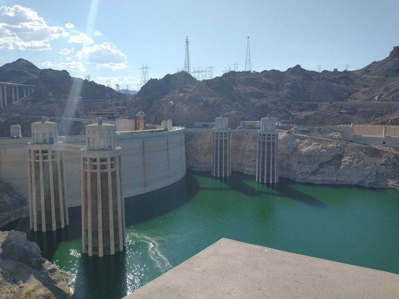
[Caption]: Intake Towers. The intake towers channel water from Lake Mead through giant pipes – called penstocks – to the turbines that generate electricity.
Erected by U.S. Department of the Interior – Bureau of Reclamation.
Topics. This historical marker is listed in these topic lists: Bridges & Viaducts • Man-Made Features. A significant historical year for this entry is 1935.
Location. 36° 0.848′ N, 114° 43.931′ W. Marker is in Hoover Dam, Arizona, in Mohave County. It is on Hoover Dam Access Road, on the right when traveling west. Marker located at the Hoover Dam Lookout. Touch for map. Marker is in this post office area: Temple Bar Marina AZ 86443, United States of America. Touch for directions.

Regionally, this marker is in the Colorado River Valley. It is also in the American Southwest. Globally, it is in North America, the Western Hemisphere, the Western World, and the Anglosphere. Historically, it finds itself in what was once New Spain and also Mexico’s
Photographed by Tom Bosse, July 20, 2024
2. Then and Now Marker
Other nearby markers. At least 8 other markers are within walking distance of this marker: High on a Lonely Hill (within shouting distance of this marker); The First People (within shouting distance of this marker); Anson Smith (approx. 0.2 miles away); Hoover Dam (approx. 0.3 miles away in Nevada); New Century, New Challenges (approx. 0.4 miles away in Nevada); Dr. Elwood Mead (approx. 0.4 miles away in Nevada); They Died to Make the Desert Bloom (approx. 0.4 miles away in Nevada); They Laboured that Millions might see a Brighter Day (approx. 0.4 miles away in Nevada). Touch for a list and map of all markers in Hoover Dam.
Photographed by Tom Bosse, July 20, 2024
3. Hoover Dam
Photographed by Tom Bosse, July 20, 2024
4. Hoover Dam Intake Towers

Photographed by Tom Bosse, July 20, 2024
5. Inside Hoover Dam

Photographed by Tom Bosse, July 20, 2024
6. Memorial Bridge
Credits. This page was last revised on August 31, 2024. It was originally submitted on August 19, 2024, by Tom Bosse of Jefferson City, Tennessee. This page has been viewed 192 times since then and 26 times this year. Photos: 1, 2, 3, 4, 5, 6. submitted on August 19, 2024, by Tom Bosse of Jefferson City, Tennessee. • Andrew Ruppenstein was the editor who published this page.
