Mackinaw City in Cheboygan County, Michigan — The American Midwest (Great Lakes)
Mackinaw, Mackinac or Michilimackinac?
| — | Mackinaw City Historical Pathway | — |
Photographed by J. J. Prats, August 2, 2024
1. Mackinaw, Mackinac or Michilimackinac? Marker
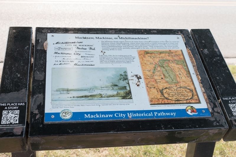
In the early 1700s the fur trading outpost on the mainland became known as Fort Michilimackinac and the island was abbreviated to Mackinac. The Village of Mackinaw City was incorporated in 1883 with an English spelling that suggests the more common pronunciation of Mackinac.
Erected 2020.
Topics. This historical marker is listed in these topic lists: Indigenous Peoples and Communities • Settlements & Settlers. A significant historical year for this entry is 1883.
Location. 45° 46.871′ N, 84° 43.536′ W. Marker is in Mackinaw City, Michigan, in Cheboygan County. It is on South Huron Avenue just south of East Central
this page online

Regionally, this marker is in Northern Michigan Lower Peninsula, on the Straits of Mackinac, and in one of the Lake Huron Shore counties. It is also in the American Midwest. Globally, it is in North America, in the Great North Woods, on the Great Lakes, in the Western Hemisphere, in the Western World, and in the Anglosphere. Historically, it finds itself in what was once the Northwest Territory.
Other nearby markers. At least 8 other markers are within walking distance of this marker: Shepler's Ferry (a few steps from this marker); a different marker also named The Algomah (a few steps from this marker); Mackinaw's Civil War Dahlgren Cannons (within shouting distance of this marker); Guardian Spirit (within shouting distance of this marker); American Legion Post No. 159 Veterans Memorial (within shouting distance of this marker); Mackinaw City (within shouting distance of this marker); “Beneath the Surface” (within shouting distance
Photographed by J. J. Prats, August 2, 2024
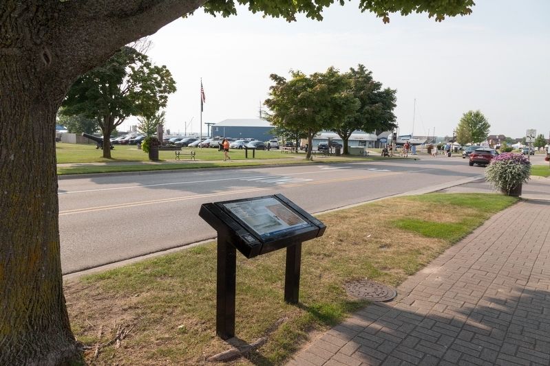
2. Mackinaw, Mackinac or Michilimackinac? Marker
Other markers no longer nearby. Mackinaw, Mackinac or Michilimackinac? (has been replaced with this marker); The Algomah (was a few steps from this marker but has been replaced with another marker now near it); Mackinaw's Civil War Cannons (was within shouting distance of this marker but has been replaced with another marker now near it).
More about this marker. This interpretive panel is illustrated with two images. They are captioned
• Michilimackinac from Round Island by Major Francis Smith Belton, September 1817, from the collection of the Mackinac State Historic Parks.
• John Carver’s 1767 map identifies Fort Michillimackinac.
Credits. This page was last revised on August 19, 2024. It was originally submitted on August 19, 2024, by J. J. Prats of Powell, Ohio. This page has been viewed 194 times since then and 16 times this year. Photos: 1, 2. submitted on August 19, 2024, by J. J. Prats of Powell, Ohio.
