
Salt Lake City in Salt Lake County, Utah — The American Mountains (Southwest)
The Lower (or Church) Canal
Photographed by Jeremy Snow, August 19, 2024
1. The Lower (or Church) Canal Marker
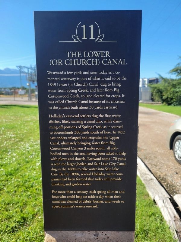
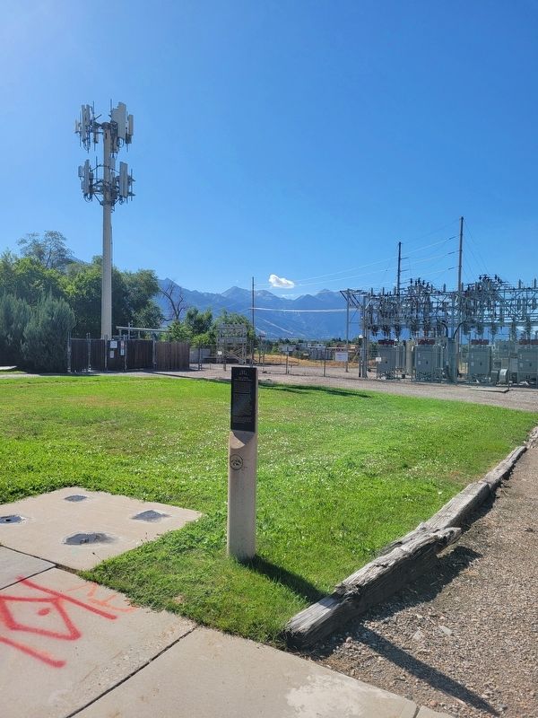
Westward a few yards and seen today as a cemented waterway is part of what is said to be the 1849 Lower (or Church) Canal, dug to bring water from Spring Creek, and later from Big Cottonwood Creek, to land cleared for crops. It was called Church Canal because of its closeness to the church built about 30 yards eastward.
Holladay's east-end settlers dug the first water ditches, likely starting a canal also, while damming off portions of Spring Creek as it coursed to bottomlands 300 yards south of here. In 1853 east-enders enlarged and extended the Upper Canal, ultimately bringing water from Big Cottonwood Canyon 3 miles south, all able-bodied men in the area having been asked to help with plows and shovels. Eastward some 170 yards is seen the larger Jordan and Salt Lake City Canal, dug in the 1880s to take water into Salt Lake City. By the 1890s, several Holladay water companies had been formed that today still provide drinking and garden water.
For more than a century, each spring all men and boys who could help set aside a day when their canal was cleaned of debris, bushes, and weeds to speed summer's waters onward.
Erected by Holladay
this page online
Topics. This historical marker is listed in these topic lists: Agriculture • Settlements & Settlers. A significant historical year for this entry is 1849.
Location. 40° 39.945′ N, 111° 50.134′ W. Marker is in Salt Lake City, Utah, in Salt Lake County. It is on East Murray Holladay Road, on the right when traveling east. Touch for map. Marker is at or near this postal address: 1950 E Murray Holladay Rd, Salt Lake City UT 84117, United States of America. Touch for directions.

Regionally, this marker is in the Wasatch Front and in Greater Salt Lake. It is also in the American Mountain West and on the Colorado Plateau. Globally, it is in North America, the Rocky Mountains, the Western Hemisphere, the Western World, and the Anglosphere. Historically, it finds itself in what was once New Spain and also Mexico’s Alta California.
Other nearby markers. At least 8 other markers are within walking distance of this marker: Holladay's First Church and School Building (within shouting distance of this marker); Brinton's Blacksmith Shop (approx. 0.2 miles away); Holladay's First General Store
Photographed by Jeremy Snow, August 19, 2024
2. The Lower (or Church) Canal Marker
Credits. This page was last revised on August 21, 2024. It was originally submitted on August 20, 2024, by Jeremy Snow of Cedar City, Utah. This page has been viewed 259 times since then and 22 times this year. Photos: 1, 2. submitted on August 20, 2024, by Jeremy Snow of Cedar City, Utah. • J. Makali Bruton was the editor who published this page.
