
Near Springdale in Washington County, Utah — The American Mountains (Southwest)
Tourists in the Canyon
Photographed by Tom Bosse, July 22, 2024
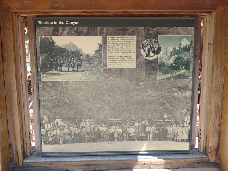
1. Tourists in the Canyon Marker
The present lodge is the latest in a series of efforts to settle the canyon, control the river, and provide comfortable facilities in the midst of this amazing scenery. On the site in 1916 William W. Wylie established Zion's first tourist camp - a cluster of tents and a dining pavilion. Because seasonal floods always threatened, the nearby section of river was eventually channelized.
Compared to the age and scale of the surrounding cliffs, the history of tourist development here seems rather short-term. The Zion shuttle system is part of a design to minimize traffic and recapture a quieter, less congested area.
Erected by U.S. Department of the Interior – Zion National Park.
Topics. This historical marker is listed in this topic list: Parks & Recreational Areas. A significant historical year for this entry is 1916.
Location. 37° 15.004′ N, 112° 57.367′ W. Marker is near Springdale, Utah, in Washington County. It is on Zion Canyon Scenic Drive, on the right when traveling north. Touch for map. Marker is in this post office area: Hurricane UT 84737, United States of America. Touch for directions.

Regionally, this
this page online
Other nearby markers. At least 8 other markers are within 4 miles of this marker, measured as the crow flies: Zion Lodge (a few steps from this marker); Sentinel Slide (approx. one mile away); Court of the Patriarchs (approx. one mile away); Canyon or Cathedral (approx. 1.6 miles away); Cables from the Rim (approx. 1.7 miles away); Zion Mt. Carmel Tunnel and Highway, Utah (approx. 2.4 miles away); Impassable Barrier (approx. 2.6 miles away); Stephen Tyng Mather (approx. 3.1 miles away). Touch for a list and map of all markers in Springdale.
Also see . . . Zion National Park Utah. (Submitted on August 21, 2024, by Tom Bosse of Jefferson City, Tennessee.)
Photographed by Tom Bosse, July 22, 2024
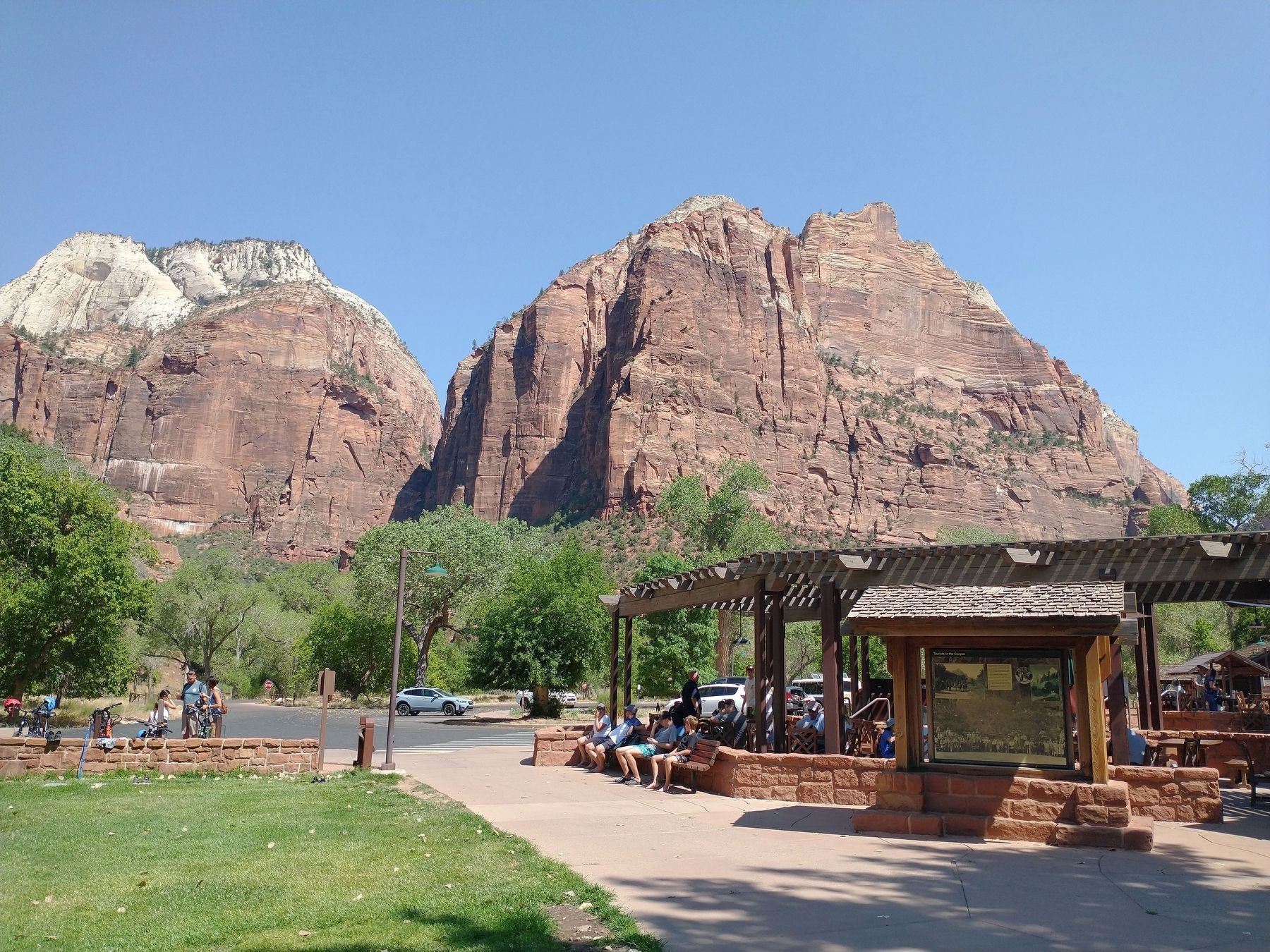
2. Tourists in the Canyon Marker

Photographed by Tom Bosse, July 22, 2024
3. Zion Lodge
Credits. This page was last revised on August 24, 2024. It was originally submitted on August 21, 2024, by Tom Bosse of Jefferson City, Tennessee. This page has been viewed 169 times since then and 15 times this year. Photos: 1, 2, 3. submitted on August 21, 2024, by Tom Bosse of Jefferson City, Tennessee. • Andrew Ruppenstein was the editor who published this page.
