Bar Harbor in Hancock County, Maine — The American Northeast (New England)
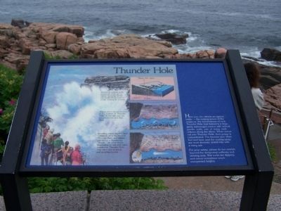
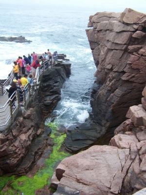
Thunder Hole
For your safety, please do not venture beyond the designated walkway and viewing area. Wet rocks are slippery, and waves sometimes reach unexpected heights.
Topics. This historical marker is listed in this topic list: Natural Features.
Location. 44° 19.191′ N, 68° 11.372′ W. Marker is in Bar Harbor, Maine, in Hancock County. Marker is on Park Loop Road. Touch for map. Marker is in this post office area: Bar Harbor ME 04609, United States of America. Touch for directions.
Other nearby markers. At least 8 other markers are within walking distance of this marker. Sounds of the Sea (about 400 feet away, measured in a direct line); Thunder Hole Ranger Station (about 400 feet away); Icy Depths (about 400 feet away); What Do Park Rangers Do? (about 500 feet away); “Hot Line” to Europe (approx. half a mile away); Alessandro Fabbri, Lieutenant, U.S.N.R.F. (approx. half a mile away); Once a Busy Waterfront (approx. half a mile away); Satterlee Field (approx. 0.7 miles away). Touch for a list and map of all markers in Bar Harbor.
Credits. This page was last revised on June 16, 2016. It was originally submitted on December 13, 2009, by Bill Pfingsten of Bel Air, Maryland. This page has been viewed 1,314 times since then and 7 times this year. Photos: 1, 2. submitted on December 13, 2009, by Bill Pfingsten of Bel Air, Maryland.

