Lynnwood in Rockingham County, Virginia — The American South (Mid-Atlantic)
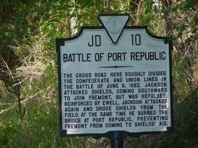
Battle of Port Republic
Photographed by J. J. Prats, September 25, 2007
1. Battle of Port Republic Marker
Erected 1941 by Virginia Conservation Commission. (Marker Number JD-10.)
Topics and series. This historical marker is listed in this topic list: War, US Civil. In addition, it is included in the Battlefield Trails - Civil War, and the Virginia Department of Historic Resources (DHR) series lists. A significant historical date for this entry is June 9, 1862.
Location. 38° 18.126′ N, 78° 46.03′ W. Marker is in Lynnwood, Virginia, in Rockingham County. It is at the intersection of South East Side Highway (U.S. 340) and Ore Bank Road / Lynnwood Road (Virginia Route 708), on the right when traveling east on South East Side Highway. Touch for map. Marker is in this post office area: Port Republic VA 24471, United States of America. Touch for directions.

Regionally, this marker
this page online
Other nearby markers. At least 8 other markers are within walking distance of this marker: The Union Retreat (within shouting distance of this marker); The Coaling (within shouting distance of this marker); First Attack on the Coaling (within shouting distance of this marker); Port Republic Battlefield (within shouting distance of this marker); The Union Counterattack (within shouting distance of this marker); The Tigers Attack (within shouting distance of this marker); The Louisianans Advance (within shouting distance of this marker); The Road to Battle (about 300 feet away, measured in a direct line). Touch for a list and map of all markers in Lynnwood.
Another marker is no longer nearby. Port Republic (was within shouting
Photographed by Bradley Owen, October 18, 2023
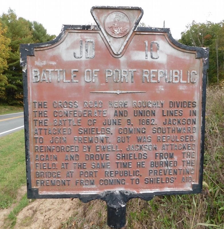
2. Battle of Port Republic Marker
Marker has discolored.
Related markers. Click here for a list of markers that are related to this marker. Battle of Port Republic by Markers.
Photographed by J. J. Prats, September 25, 2007
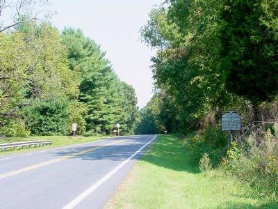
3. Battle of Port Republic Marker
Photographed by Mike Stroud, circa June 1993
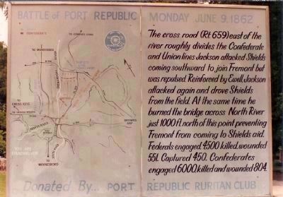
4. Battle of Port Republic Marker
Battle of Port Republic Monday June 9, 1862
The cross road (Rt.659) east of the river divides the Confederate and Union lines Jackson attacked Shields coming southward to join Fremont but was repulsed. Reinforced by Ewell, Jackson attacked again and drove Shields from the field. At the same time he burned the bridge across North River just 1000 ft. north of this point preventing Fremont from coming to Sheilds aid. Federals engaged, 4,500 killed, wounded 551, Captured 450. Confederates engaged 6,000, killed and wounded 804.
Donated by Port Republic Ruritan Club
The cross road (Rt.659) east of the river divides the Confederate and Union lines Jackson attacked Shields coming southward to join Fremont but was repulsed. Reinforced by Ewell, Jackson attacked again and drove Shields from the field. At the same time he burned the bridge across North River just 1000 ft. north of this point preventing Fremont from coming to Sheilds aid. Federals engaged, 4,500 killed, wounded 551, Captured 450. Confederates engaged 6,000, killed and wounded 804.
Donated by Port Republic Ruritan Club
Credits. This page was last revised on August 22, 2024. It was originally submitted on October 12, 2007. This page has been viewed 3,198 times since then and 77 times this year. Last updated on August 22, 2024. Photos: 1. submitted on October 12, 2007, by J. J. Prats of Powell, Ohio. 2. submitted on October 18, 2023, by Bradley Owen of Morgantown, West Virginia. 3. submitted on October 12, 2007, by J. J. Prats of Powell, Ohio. 4. submitted on August 27, 2008, by Mike Stroud of Bluffton, South Carolina. • Bernard Fisher was the editor who published this page.
