Trussville in Jefferson County, Alabama — The American South (East South Central)
Trussville Memorial Cemetery
Jefferson County
Photographed by David J Gaines, August 22, 2024
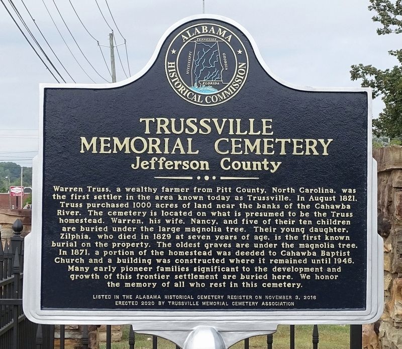
1. Trussville Memorial Cemetery Marker
Inscription.
Trussville Memorial Cemetery. Jefferson County. Warren Truss, a wealthy farmer from Pitt County, North Carolina, was the first settler in the area known today as Trussville. In August 1821, Truss purchased 1000 acres of land near the banks of the Cahawba River. The cemetery is located on what is presumed to be the Truss Homestead. Warren, his wife, Nancy, and five of their children are buried under the large magnolia tree. Their young daughter, Zilphia, who died in 1829 at seven years of age, is the first known burial on the property. The oldest graves are under the magnolia tree. In 1871, a portion of the homestead was deeded to Cahawba Baptist Church and a building was constructed where it remained until 1946. Many early pioneer families significant to the development and growth of this frontier settlement are buried here. We honor the memory all who rest in this cemetery. , Listed in the Alabama Historical Cemetery Register on November 3, 2016
Warren Truss, a wealthy farmer from Pitt County, North Carolina, was the first settler in the area known today as Trussville. In August 1821, Truss purchased 1000 acres of land near the banks of the Cahawba River. The cemetery is located on what is presumed to be the Truss Homestead. Warren, his wife, Nancy, and five of their children are buried under the large magnolia tree. Their young daughter, Zilphia, who died in 1829 at seven years of age, is the first known burial on the property. The oldest graves are under the magnolia tree. In 1871, a portion of the homestead was deeded to Cahawba Baptist Church and a building was constructed where it remained until 1946. Many early pioneer families significant to the development and growth of this frontier settlement are buried here. We honor the memory all who rest in this cemetery.
Listed in the Alabama Historical Cemetery Register on November 3, 2016
Erected 2020 by Alabama Historical Commission and Trussville Memorial Cemetery Association.
Topics. This historical marker is listed in this topic list: Cemeteries & Burial Sites. A significant historical month for this entry is August 1821.
Location. 33° 37.276′ N,
Click or scan to see this page online
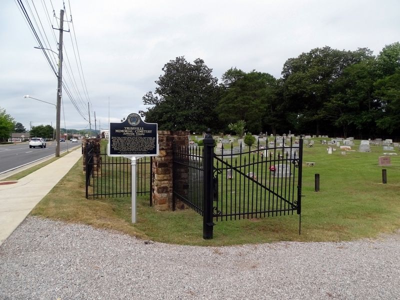
86° 36.212′ W. Marker is in Trussville, Alabama, in Jefferson County. It is on Main Street (U.S. 11) east of City Hall Drive, on the right when traveling west. Touch for map. Marker is in this post office area: Trussville AL 35173, United States of America. Touch for directions.
Regionally, this marker is in the Birmingham Metropolitan Area. It is also in the American South and specifically in the Deep South. Globally, it is in North America, a Gulf of Mexico state, the Western Hemisphere, the Western World, and the Anglosphere. Historically, it finds itself in what was once the territory of the Mississippian Culture, one of the Confederate States of America, and the Antebellum South.
Credits. This page was last revised on August 23, 2024. It was originally submitted on August 22, 2024, by David J Gaines of Pinson, Alabama. This page has been viewed 384 times since then and 67 times this year. Photos:1, 2. submitted on August 22, 2024, by David J Gaines of Pinson, Alabama. • James Hulse was the editor who published this page.