Milwaukee in Milwaukee County, Wisconsin — The American Midwest (Great Lakes)
Navigation Buoy
Photographed by J.T. Lambrou
1. Navigation Buoy Marker
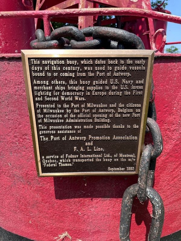
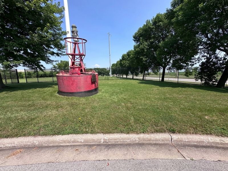
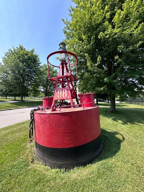
This navigation buoy, which dates back to the early days of this century, was used to guide vessels bound to or coming from the Port of Antwerp.
Among others, this buoy guided U.S. Navy and merchant ships bringing supplies to the U.S. forces fighting for democracy in Europe during the First and Second World Wars.
Presented to the Port of Milwaukee and the citizens of Milwaukee by the Port of Antwerp, Belgium on the occasion of the official opening of the new Port of Milwaukee Administration Building.
Erected 1992 by The Port of Antwerp Promotion Association and FAL Line.
Topics. This historical marker is listed in these topic lists: War, World I • War, World II • Waterways & Vessels.
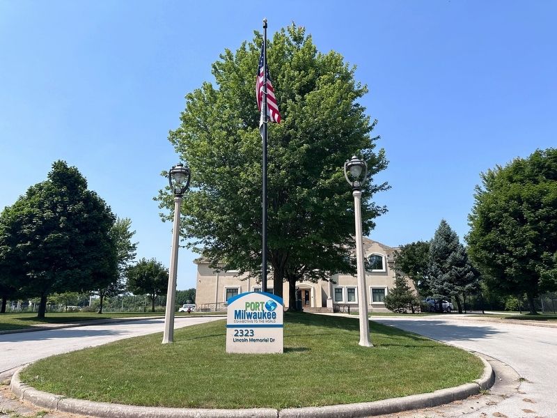
Location. 43° 0.187′ N, 87° 53.435′ W. Marker is in Milwaukee, Wisconsin, in Milwaukee County. It is at the intersection of South Lincoln Memorial Drive and Lake Express Ferry, on the right when traveling south on South Lincoln Memorial Drive. Touch for map. Marker is at or near this postal address: 2323 South Lincoln Memorial Drive, Milwaukee WI 53207, United States
this page online

Regionally, this marker is in Southeast Wisconsin. It is also in the American Midwest and in the Corn Belt. Globally, it is in North America, on the Great Lakes, in the Western Hemisphere, in the Western World, and in the Anglosphere. Historically, it finds itself in what was once the territory of the Mississippian Culture and also the Northwest Territory.
Other nearby markers. At least 8 other markers are within 2 miles of this marker, measured as the crow flies: Bay View's Rolling Mill (approx. ¼ mile away); Johanna Brotch: Female Ship Owner (approx. 0.6 miles away); Bay View’s Immigrants (approx. ¾ mile away); Jones Island Community Site (approx. 1.1 miles away); St. Josaphat Basilica (approx. 1.4 miles away); March to Kosciuszko Park (approx. 1½ miles away); Saint Stephen Lutheran Church (approx. 1.7 miles away); Holy Trinity - Our Lady of Guadalupe Church (approx. 2 miles away). Touch for a list and map of all markers in Milwaukee.
Also see . . . Port of Antwerp. Excerpt:
The Port of Antwerp is the port of the city of Antwerp, Belgium. It is located in Flanders, mainly in(Submitted on August 23, 2024, by J.T. Lambrou of New Boston, Michigan.)the province of Antwerp, but also partially in East Flanders. It is a seaport in the heart of Europe accessible to capesize ships. It is Europe's second-largest seaport, after that of Rotterdam. Antwerp stands at the upper end of the tidal estuary of the Scheldt. The estuary is navigable by ships of more than 100,000 Gross Tons as far as 80 km inland. Like the Port of Hamburg, the Port of Antwerp's inland location provides a more central location in Europe than the majority of North Sea ports. Antwerp's docks are connected to the hinterland by rail, road, and river and canal waterways. As a result, the port of Antwerp has become one of Europe's largest seaports, ranking second behind Rotterdam by total freight shipped. Its international rankings vary from 11th to 20th (AAPA). In 2012, the Port of Antwerp handled 14,220 sea trade ships (190.8 million tons of cargo, 53.6% in containers), 57,044 inland barges (123.2 million tons of cargo), and offered liner services to 800 different maritime destinations.Photographed by J.T. Lambrou2. Navigation Buoy Marker
Photographed by J.T. Lambrou
3. Navigation Buoy Marker
Photographed by J.T. Lambrou
4. Location of the marker
Credits. This page was last revised on August 29, 2024. It was originally submitted on August 23, 2024, by J.T. Lambrou of New Boston, Michigan. This page has been viewed 264 times since then and 39 times this year. Photos: 1, 2, 3, 4. submitted on August 23, 2024, by J.T. Lambrou of New Boston, Michigan. • J. Makali Bruton was the editor who published this page.
