Bohicon, Zou Department, Benin — West Africa
Les Abris Souterrains du Plateau d'Abomey
The Underground Shelters of the Abomey Plateau
Photographed by J. Makali Bruton, July 25, 2024
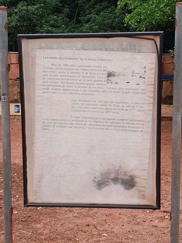
1. Les Abris Souterrains du Plateau d'Abomey Marker

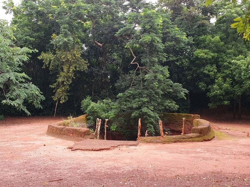
Plus de 1600 abris souterrains creusés par l'homme ont été recensés sur l'espace territorial des, danxoménu autour d'Abomey et de Bohicon dont ceux du parc archéologique d'Agongointo. Ceux-ci ne constituent probablement qu'un petit nombre du total existant. Des fouilles archéologiques ultérieures permettront de cemer le mystère de ces abris Certains abris souterrains sont isolés, d'autres appartiennent à des ensembles plus ou moins grands comportant parfois plus de cent (100) abris souterrains.
Leur distribution ne varie que très légèrement. La plus an cienne est concentrée autour de Kana, au sud-est d'Abomey. Les abris souterrains datent de la fin du 17 siècle. Certains ont été creusés au 19e siècle.
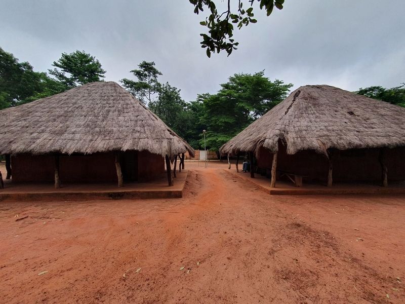
Le parc archéologique d'Agongointo comporte des temples et des espaces sacrés où se déroule la vie religieuse des habitants. Il offre un circuit de visite qui témoigne des efforts de valorisation de notre patrimoine historique et culturel. Il constitue une invitation la decouverte des vestiges archéologiques du Bénin.
The Underground Shelters of the Abomey Plateau
More
this page online
Their distribution varies only slightly. Most are concentrated around Kana, south-east of Abomey. The underground shelters date from the end of the 17th century. Some were dug in the 19th century.
The archaeological park of Agongointo has temples and sacred spaces where the religious life of the inhabitants takes place. It offers a trail which testifies to the efforts to enhance our historical and cultural heritage. It is an invitation to discover the archaeological remains of Benin.
Topics. This historical marker is listed in this topic list: Anthropology & Archaeology. A significant historical year for this entry is 1600.
Location. 7° 11.332′ N, 2° 5.055′ E. Marker
Photographed by J. Makali Bruton, July 25, 2024
2. Les Abris Souterrains du Plateau d'Abomey Marker

Regionally, it is in Africa, Sub-Saharan Africa, and specifically West Africa. Historically, it finds itself in what was once a French colony.
Other nearby markers. At least 5 other markers are within 11 kilometers of this marker, measured as the crow flies: Gbehanzin, King of Danxome (approx. 8.5 kilometers away); IFAN (approx. 9.7 kilometers away); Palace of King Guezo (approx. 9.9 kilometers away); Palace of King Agonglo (approx. 9.9 kilometers away); Palace of King Glele (approx. 10 kilometers away).
Also see . . . Agongointo-Zoungoudo Underground Town at Wikipedia. (Submitted on August 23, 2024.)
Photographed by J. Makali Bruton, July 25, 2024
3. Entrance to an underground shelter at Agongointo
Credits. This page was last revised on August 23, 2024. It was originally submitted on August 23, 2024, by J. Makali Bruton of Washington, District of Columbia. This page has been viewed 125 times since then and 35 times this year. Photos: 1, 2, 3. submitted on August 23, 2024, by J. Makali Bruton of Washington, District of Columbia.
