Dunnville in Lowbanks in Haldimand County, Ontario — Central Canada (North America)
Feeder Canal and Lock
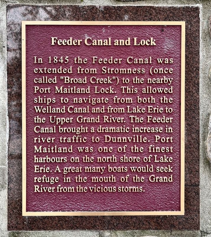
Photographed by Tim Boyd, August 21, 2024
1. Feeder Canal and Lock Marker
Topics and series. This historical marker is listed in this topic list: Waterways & Vessels. In addition, it is included in the The Welland Canals series list. A significant historical year for this entry is 1845.
Location. 42° 51.661′ N, 79° 34.447′ W. Marker is in Lowbanks, Ontario, in Haldimand County. It is in Dunnville. It is on Feeder Canal Road 2.7 kilometers west of North Shore Drive, on the right when traveling west. Touch for map. Marker is at or near this postal address: 628 Feeder Canal Road, Lowbanks ON N0A 1K0, Canada. Touch for directions.

Regionally, this marker is in the Southwest Ontario Area and in Southwestern Ontario. It is also in Central
this page online
Other nearby markers. At least 8 other markers are within 18 kilometers of this marker, measured as the crow flies: Commercial Fishing Industry (here, next to this marker); Naval Depot Cemetery (here, next to this marker); Grand River Naval Depot (here, next to this marker); Grand River Naval Depot 1815 (approx. half a kilometer away); Royal Canadian Air Force No.6 Service Flying Training School (approx. 2.2 kilometers away); The Founding of Dunnville / La Fondation de Dunnville (approx. 6.2 kilometers away); Patron's Of Industry Hall circa 1893 (approx. 17.3 kilometers away); This Bell Originally Housed In The Bell Tower Of Emmanuel United Church At Wellandport (approx. 17.3 kilometers away). Touch for a list and map of all markers in Lowbanks.
Also see . . . The Old Welland Canals Field Guide - Feeder Canal.
In 1842-45(Submitted on August 25, 2024, by Tim Boyd of Hamilton, Ontario.)the Second Welland Canal was built and the Feeder Canal enlarged to allow shipping along it’s route. A guard lock was built in Dunnville to control the flow of water into the Feeder. The Junction Lock was installed at Junction in 1845 to control the flow of water exiting the Feeder into the Welland Canal. Lastly, the Feeder Canal was extended to Port Maitland where a lock was built to lower and raise ships to the level of Lake Erie. Together the upgrades made the Feeder Canal a fully functioning branch of the Second Welland Canal.Photographed by Tim Boyd, August 221/20242. Feeder Canal and Lock Marker
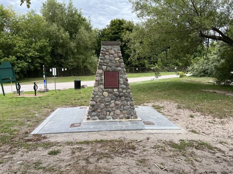
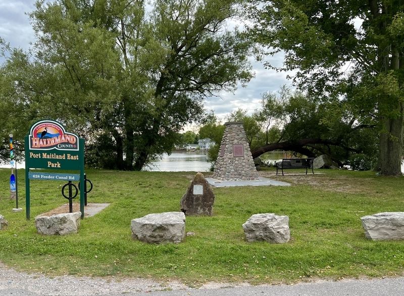
Photographed by Tim Boyd, August 21, 2024
3. Port Maitland Cairn in Port Maitland Park East
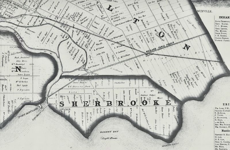
4. Feeder Canal, 1863
Credits. This page was last revised on August 28, 2024. It was originally submitted on August 25, 2024, by Tim Boyd of Hamilton, Ontario. This page has been viewed 367 times since then and 69 times this year. Photos: 1, 2, 3, 4. submitted on August 25, 2024, by Tim Boyd of Hamilton, Ontario. • Andrew Ruppenstein was the editor who published this page.
