Sault Ste. Marie in Chippewa County, Michigan — The American Midwest (Great Lakes)
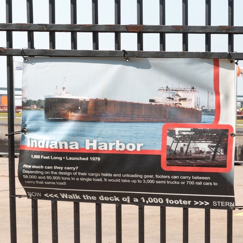
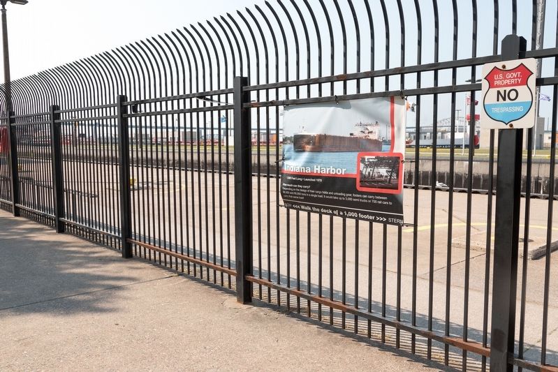
Indiana Harbor
1,000 Feet Long • Launched 1979
| — | Walk the Deck of a 1,000 Footer | — |
Photographed by J. J. Prats, August 2, 2024
1. Indiana Harbor Marker
Topics. This historical marker is listed in this topic list: Waterways & Vessels.
Location. 46° 30.131′ N, 84° 20.988′ W. Marker is in Sault Ste. Marie, Michigan, in Chippewa County. It can be reached from West Portage Avenue west of Ferris Street. It is in Soo Locks Park. Enter at the Visitor's center. Touch for map. Marker is at or near this postal address: 384398 W Portage Ave, Sault Sainte Marie MI 49783, United States of America. Touch for directions.

Regionally, this marker is on the Upper Peninsula. It is also in the American Midwest and on Lake Superior’s South Shore Region. Globally, it is in North America, in the Great North Woods, on the Great Lakes, in the Western Hemisphere, in the Western World, and in the Anglosphere. Historically, it finds itself in what was once the Viceroyalty of New France
this page online
Other nearby markers. At least 8 other markers are within walking distance of this marker: Mesabi Miner (a few steps from this marker); Walter J. McCarthy Jr. (a few steps from this marker); Heavy traffic on Portage Avenue (within shouting distance of this marker); Edgar B. Speer (within shouting distance of this marker); American Integrity (within shouting distance of this marker); Cornerstone for new technology (within shouting distance of this marker); James R. Barker (within shouting distance of this marker); American Century (within shouting distance of this marker). Touch for a list and map of all markers in Sault Ste. Marie.
Related markers. Click here for a list of markers that are related to this marker. These are the 13 Walk the Deck of a 1,000 Footer markers at Soo Locks Park in Sault Ste. Marie, which you can then map to view the length of a “footer.”
Photographed by J. J. Prats, August 2, 2024
2. Indiana Harbor Marker
Credits. This page was last revised on August 26, 2024. It was originally submitted on August 26, 2024, by J. J. Prats of Powell, Ohio. This page has been viewed 125 times since then and 11 times this year. Photos: 1, 2. submitted on August 26, 2024, by J. J. Prats of Powell, Ohio.
