Spring Hill in Somerville in Middlesex County, Massachusetts — The American Northeast (New England)
When Trolleys Ran On Hay
⎯⎯⎯
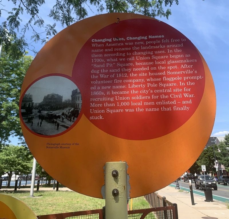
Changing Uses, Changing Names

Photographed by Marc Posner, July 3, 2024
1. When Trolleys Ran On Hay side of marker
When Trolleys Ran On Hay
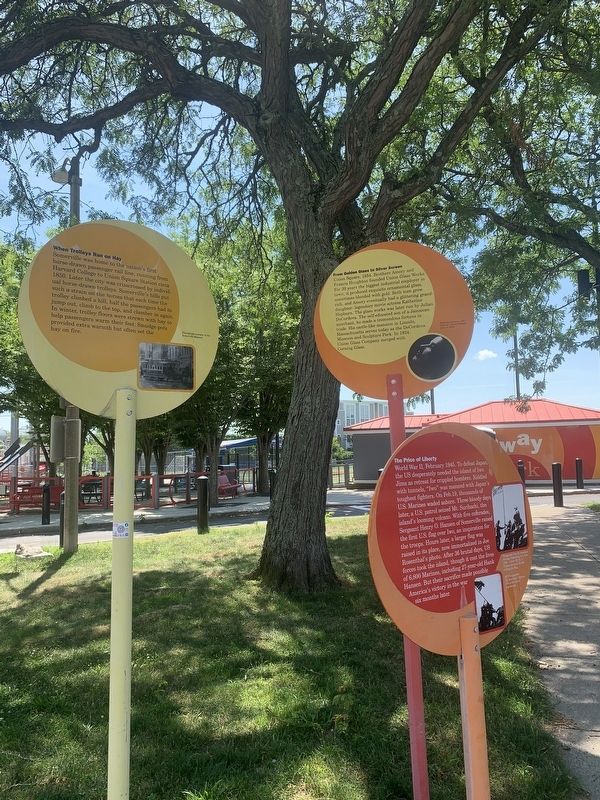
Somerville was home to the nation's first horse-drawn passenger rail line, running from Harvard College to Union Square Station circa 1850. Later the city was crisscrossed by individual horse-drawn trolleys. Somerville's hills put such a strain on the horses that each time the trolley climbed a hill, half the passengers had to jump out, climb to the top, and clamber in again. In winter, trolley floors were strewn with hay to help passengers warm their feet. Smudge pots provided extra warmth but often set the hay on fire. Photograph courtesy of the Somerville Museum
Changing Uses, Changing Names
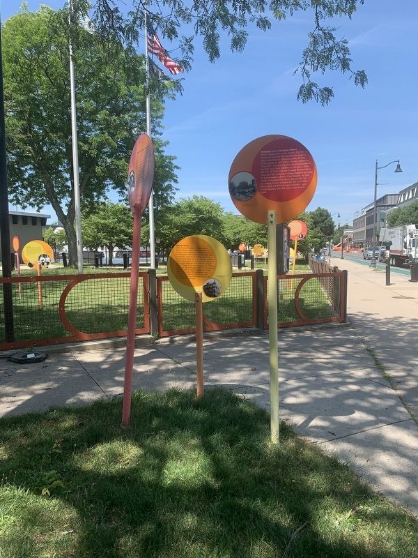
When America was new, people felt free to name and rename the landmarks around them according to changing uses. In the 1700s, what we call Union Square began as "Sand Pit" Square, because local glassmakers dug the sand they needed on the spot. After the War of 1812, the site housed Somerville's volunteer fire company, whose flagpole prompted a new name: Liberty Pole Square. In the 1860s, it became the city's central site for recruiting Union soldiers for the Civil War. More than 1,000 local men enlisted
this page online
Erected by City of Somerville.
Topics. This historical marker is listed in these topic lists: Industry & Commerce • Railroads & Streetcars • War of 1812 • War, US Civil. A significant historical year for this entry is 1850.
Location. 42° 23.01′ N, 71° 6.481′ W. Marker is in Somerville, Massachusetts, in Middlesex County. It is in Spring Hill. It is at the intersection of Somerville Avenue and Beech Street, on the right when traveling east on Somerville Avenue. Located in Conway Park. Touch for map. Marker is at or near this postal address: 550 Somerville Ave, Somerville MA 02143, United States of America. Touch for directions.

Regionally, this marker is in Historic Boston and specifically in Greater Boston. It is also in the American Northeast, in New England, and on the Eastern Seaboard. Globally, it is in the North Atlantic Region, North America, the Western Hemisphere, the Western World, and the Anglosphere. Historically, it finds itself in what was once one of the original Thirteen Colonies.
Other nearby markers. At
Photographed by Marc Posner, July 3, 2024
2. Changing Uses, Changing Names side of marker
Photographed by Marc Posner, July 3, 2024
3. When Trolleys Ran On Hay side of marker
Photographed by Marc Posner, July 3, 2024
4. Changing Uses, Changing Names side of marker
Credits. This page was last revised on October 29, 2024. It was originally submitted on August 27, 2024, by Marc Posner of Somerville, Massachusetts. This page has been viewed 1,356 times since then and 27 times this year. It was the Marker of the Week September 1, 2024. Photos: 1, 2, 3, 4. submitted on August 27, 2024, by Marc Posner of Somerville, Massachusetts. • Bernard Fisher was the editor who published this page.
