Near Dillard in Crawford County, Missouri — The American Midwest (Upper Plains)
Turning Water into Power
Photographed by Duane and Tracy Marsteller, July 21, 2024
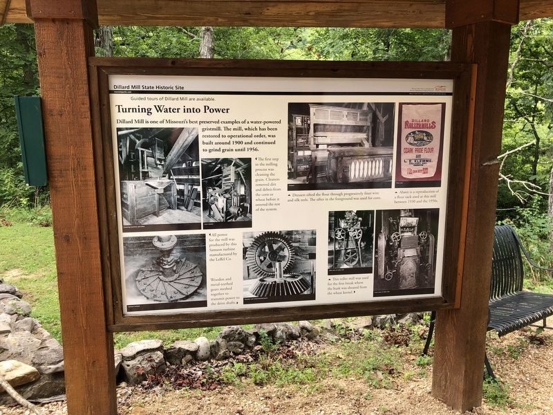
1. Turning Water into Power Marker
[Captions]
Note: Captions are listed in the order of the milling process, not as shown on the marker.
• All power for the mill was produced by this Samson turbine manufactured by the Leffel Co.
• Wooden and metal-teethed gears meshed together to transmit power to the drive shafts.
• The first step in the milling process was cleaning the grain. Cleaners removed dirt and debris from the corn or wheat before it entered the rest of the system.
• This roller mill was used for the first break where the husk was sheared from the wheat kernel.
• Dressers sifted the flour through progressively finer wire and silk reels. The sifter in the foreground was used for corn.
• Above is a reproduction of a flour sack used at this mill between 1930 and the 1950s.
Topics. This historical marker is listed in these topic lists: Industry & Commerce • Man-Made Features. A significant historical year for this entry is 1900.
Location. 37° 43.195′ N,
this page online

Regionally, this marker is in South-Central Missouri. It is also in the American Ozarks, in the Lewis & Clark Corridor, and in the Corn Belt. Globally, it is in North America, the Western Hemisphere, the Western World, and the Anglosphere. Historically, it finds itself in what was once the territory of the Mississippian Culture, the Louisiana Purchase, and the Antebellum South.
Other nearby markers. At least 6 other markers are within 11 miles of this marker, measured as the crow flies: Old Dillard Cemetery (a few steps from this marker); Fish Raceway (about 400 feet away, measured in a direct line); Old Mill Lodge (about 500 feet away); Dillard (about 500 feet away); Dillard Store and Post Office

Photographed by Duane and Tracy Marsteller, July 21, 2024
2. Turning Water into Power Marker
Featured marker is on the left.
Photographed by Duane and Tracy Marsteller, July 21, 2024
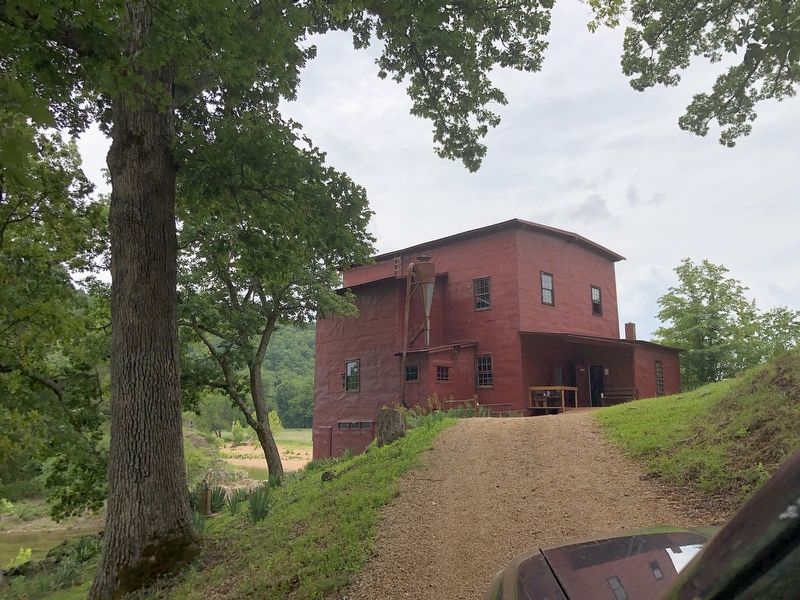
3. The Dillard Mill
Photographed by Duane and Tracy Marsteller, July 21, 2024
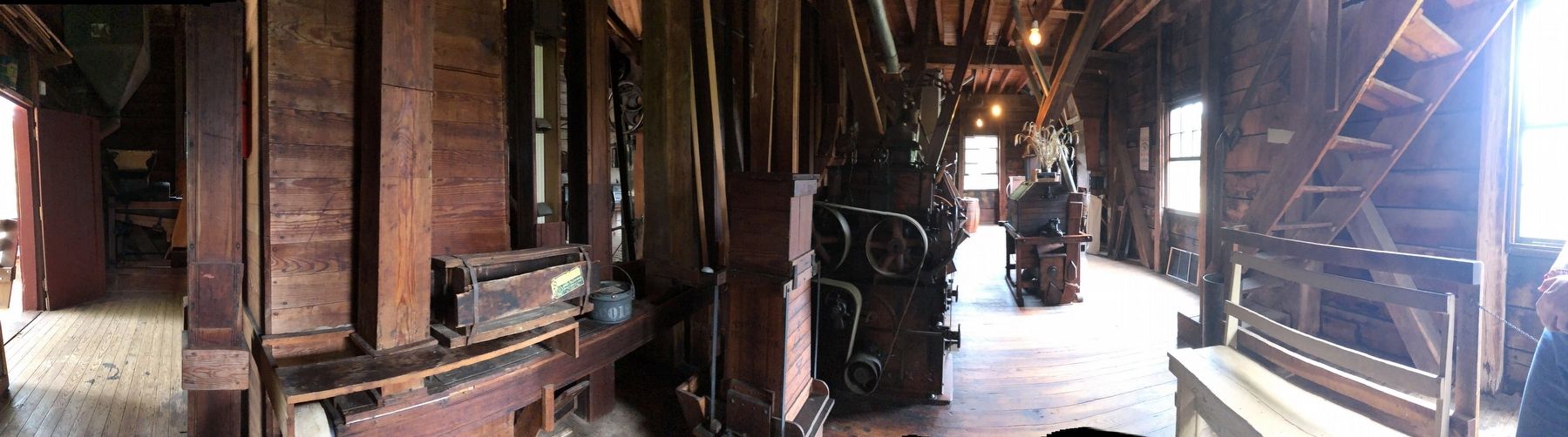
4. Inside the Dillard Mill
Credits. This page was last revised on August 27, 2024. It was originally submitted on August 27, 2024, by Duane and Tracy Marsteller of Murfreesboro, Tennessee. This page has been viewed 116 times since then and 26 times this year. Photos: 1, 2, 3, 4. submitted on August 27, 2024, by Duane and Tracy Marsteller of Murfreesboro, Tennessee.
