Near Greece in Monroe County, New York — The American Northeast (Mid-Atlantic)
Greece "Dry Dock"
Photographed by Steve Stoessel, August 26, 2024
1. Greece Dry Dock Marker
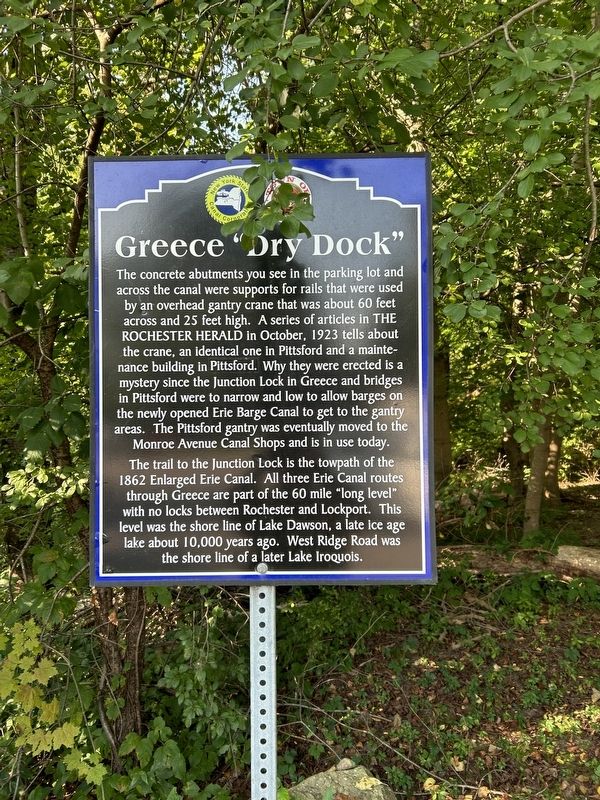
The concrete abutments you see in the parking lot and across the canal were supports for rails that were used by an overhead gantry crane that was about 60 feet across and 25 feet high. A series of articles in The Rochester Herald in October, 1923 tells about the crane, an identical one in Pittsford and a maintenance building in Pittsford. Why they were erected is a mystery since the Junction Lock in Greece and bridges in Pittsford were to narrow and low to allow barges on the newly opened Erie Barge Canal to get to the gantry areas. The Pittsford gantry was eventually moved to the Monroe Avenue Canal Shops and is in use today.
The trail to the Junction Lock is the towpath of the 1862 Enlarged Erie Canal. All three Erie Canal routes through Greece are part of the 60 mile "long level" with no locks between Rochester and Lockport. This level was the shore line of Lake Dawson, a late ice age lake about 10,000 years ago. West Ridge Road was the shore line of a later Lake Iroquois.
Erected by New York Canal Corporation, Town of Greece.
Topics. This historical marker is listed in this topic list: Waterways & Vessels. A significant historical month for this entry is October 1923.
Location. 43° 11.213′ N,
this page online

Regionally, this marker is in Upstate New York, specifically in Western New York, in the Finger Lakes, and in the Rochester Metropolitan Area. It is also in the American Northeast and in the Mid-Atlantic. Globally, it is in North America, on the Great Lakes, in the Western Hemisphere, in the Western World, and in the Anglosphere. Historically, it finds itself in what was once the Haudenosaunee (Iroquois) Confederacy, New Netherland, and one of the original Thirteen Colonies.
Other nearby markers. At least 8 other markers are within 3 miles of this marker, measured as the crow flies: South Greece Junction Lock (approx. 0.2 miles away); Greece Erie Canals (approx. ¼ mile away); The Canalway Trail: Unlock the Adventure/ The Junction Lock (approx. ¼ mile away); The Canalway Trail: Greece
Photographed by Steve Stoessel, August 26, 2024
2. Greece Dry Dock Marker
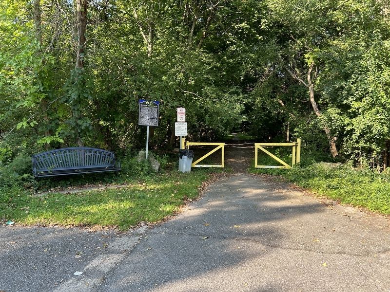
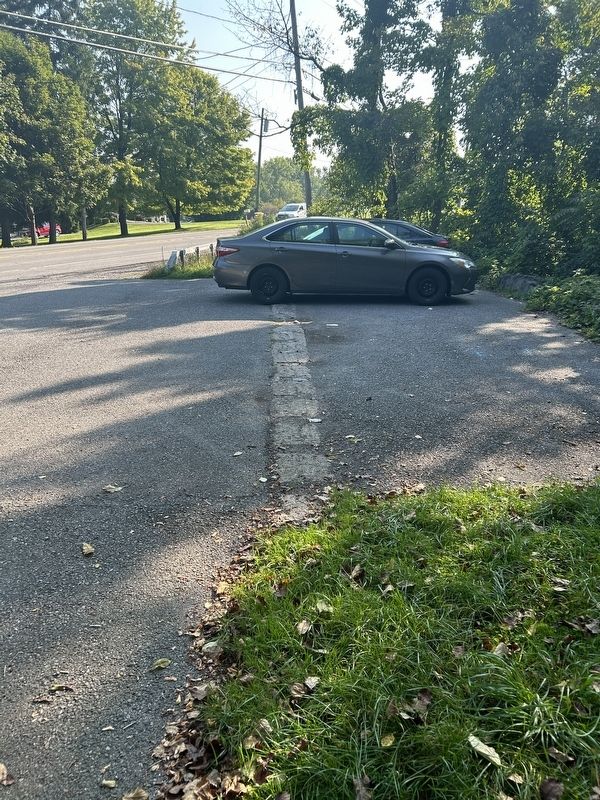
Notice the concrete strip running across the parking lot.
Related marker. Click here for another marker that is related to this marker.
Also see . . . Erie Canal (Wikipedia). (Submitted on August 27, 2024, by Steve Stoessel of Niskayuna, New York.)

Photographed by Steve Stoessel, August 26, 2024
3. Greece Dry Dock Marker
Photographed by Steve Stoessel, August 26, 2024
4. Greece Dry Dock Marker
Credits. This page was last revised on July 15, 2025. It was originally submitted on August 27, 2024, by Steve Stoessel of Niskayuna, New York. This page has been viewed 674 times since then and 96 times this year. Photos: 1, 2, 3, 4. submitted on August 27, 2024, by Steve Stoessel of Niskayuna, New York.
