
Near Greece in Monroe County, New York — The American Northeast (Mid-Atlantic)
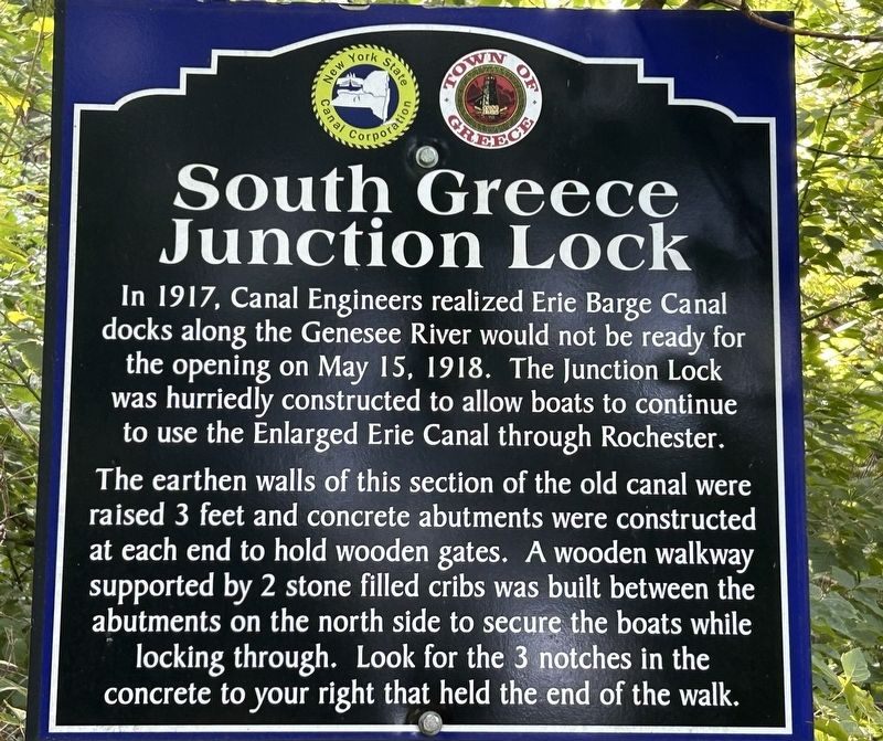
South Greece Junction Lock
Photographed by Steve Stoessel, August 26, 2024
1. South Greece Junction Lock Marker
In 1917, Canal Engineers realized Erie Barge Canal docks along the Genesee River would not be ready for the opening on May 15, 1918. The Junction Lock was hurriedly constructed to allow boats to continue to use the Enlarged Erie Canal through Rochester.
The earthen walls of this section of the old canal were raised 3 feet and concrete abutments were constructed at each end to hold wooden gates. A wooden walkway supported by 2 stone filled cribs was built between the abutments on the north side to secure the boats while locking through. Look for the 3 notches in the concrete to your right that held the end of the walk.
Erected by New York State Canal Corporation, Town of Greece.
Topics. This historical marker is listed in this topic list: Waterways & Vessels. A significant historical year for this entry is 1917.
Location. 43° 11.123′ N, 77° 42.626′ W. Marker is near Greece, New York, in Monroe County. It can be reached from Ridgeway Avenue west of Long Pond Road. Marker is approximately ¼ mile from the trailhead at 2665 Ridgeway Avenue. Touch for map. Marker is in this post office area: Rochester NY 14606, United States
this page online

Regionally, this marker is in Upstate New York, specifically in Western New York, in the Finger Lakes, and in the Rochester Metropolitan Area. It is also in the American Northeast and in the Mid-Atlantic. Globally, it is in North America, on the Great Lakes, in the Western Hemisphere, in the Western World, and in the Anglosphere. Historically, it finds itself in what was once the Haudenosaunee (Iroquois) Confederacy, New Netherland, and one of the original Thirteen Colonies.
Other nearby markers. At least 8 other markers are within 3 miles of this marker, measured as the crow flies: Greece Erie Canals (within shouting distance of this marker); The Canalway Trail: Unlock the Adventure/ The Junction Lock (about 300 feet away, measured in a direct line); Greece "Dry Dock" (approx. 0.2 miles away); The Canalway Trail: Greece (approx. half a mile away); Henpeck (approx. 1.1 miles away); a different marker also named South Greece Junction Lock (approx. 1.1 miles away); Old Ridge Road (approx. 1.8 miles away); Koda-Vista Historic District (approx. 2.3 miles away). Touch for a list and map
Photographed by Steve Stoessel, August 26, 2024
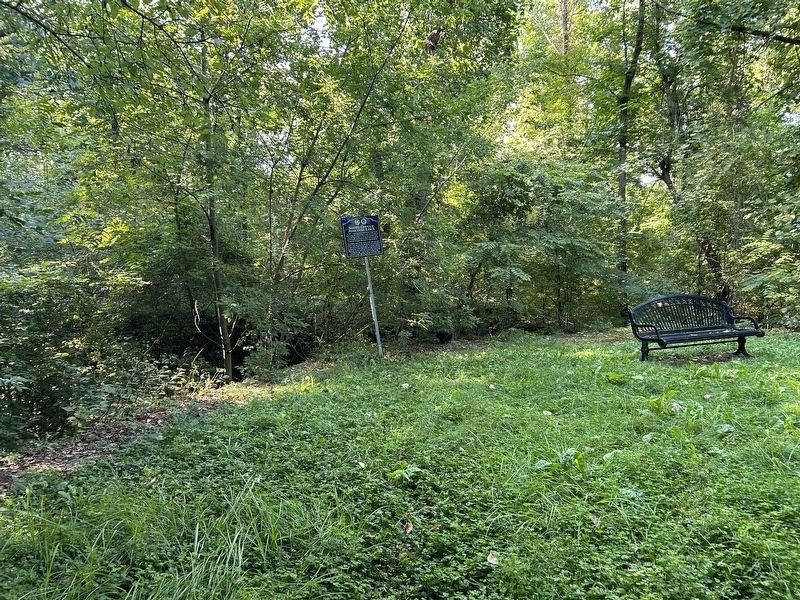
2. South Greece Junction Lock Marker
Related markers. Click here for a list of markers that are related to this marker.
Also see . . . Erie Canal (Wikipedia). (Submitted on August 27, 2024, by Steve Stoessel of Niskayuna, New York.)
Credits. This page was last revised on August 27, 2024. It was originally submitted on August 27, 2024, by Steve Stoessel of Niskayuna, New York. This page has been viewed 420 times since then and 112 times this year. Photos: 1, 2. submitted on August 27, 2024, by Steve Stoessel of Niskayuna, New York.
