Near Glennallen in Copper River Census Area, Alaska — Northwest (North America)
The Wrangell Mountains
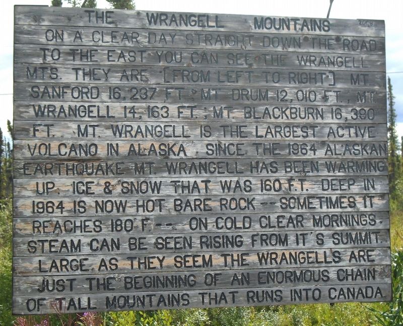
Photographed by William Fischer, Jr., August 13, 2024
1. The Wrangell Mountains Marker
On a clear day straight down the road to the east you can see the Wrangell Mts. They are [from left to right] Mt. Sanford 16,237 ft; Mt Drum 12,010 ft.; Mt. Wrangell 14,163 ft; Mt Blackburn 16,390 ft. Mt Wrangell is the largest active volcano in Alaska. Since the 1964 Alaskan Earthquake Mt. Wrangell has been warming up. Ice & snow that was 160 ft. deep in 1964 is now hot bare rock -- sometimes it reaches 180 °F. On cold clear mornings steam can be seen rising from it's summit. Large as they seem the Wrangells are just the beginning of an enormous chain of tall mountains that runs into Canada.
Erected 2008 by Alaska Dept of Transportation and Public Facilities.
Topics. This historical marker is listed in this topic list: Natural Features. A significant historical year for this entry is 1964.
Location. 62° 6.378′ N, 145° 51.107′ W. Marker is near Glennallen in Copper River Census Area, Alaska. It is on Glenn Highway (State Highway 1 at milepost 176.5), on the right when traveling east. Marker is at a roadside pulloff about 7 miles east of Tolsona. Touch for map. Marker is in this post office area: Glennallen AK
this page online

Regionally, this marker is on the American Pacific Coast. Globally, it is in North America, on the Pacific Rim, in the Western Hemisphere, in the Western World, and in the Anglosphere. Historically, it finds itself in what was once the Russian Empire.
Also see . . . Wrangell Mountains Center. (Submitted on August 27, 2024, by William Fischer, Jr. of Reynoldsburg, Ohio.)
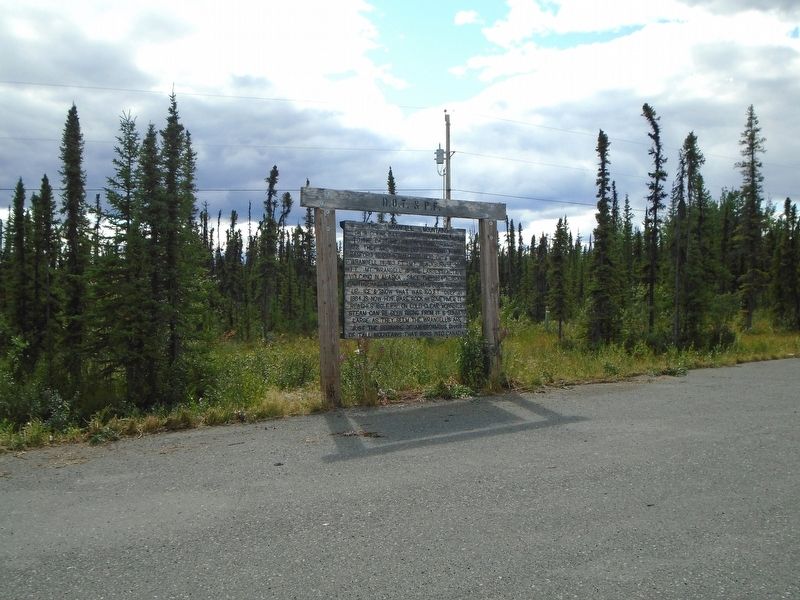
Photographed by William Fischer, Jr., August 13, 2024
2. The Wrangell Mountains Marker
Credits. This page was last revised on February 16, 2026. It was originally submitted on August 27, 2024, by William Fischer, Jr. of Reynoldsburg, Ohio. This page has been viewed 157 times since then and 19 times this year. Photos: 1, 2. submitted on August 27, 2024, by William Fischer, Jr. of Reynoldsburg, Ohio.
