Woodridge in Sullivan County, New York — The American Northeast (Mid-Atlantic)
Borscht Belt - Woodridge
Photographed by Jerry Klinger
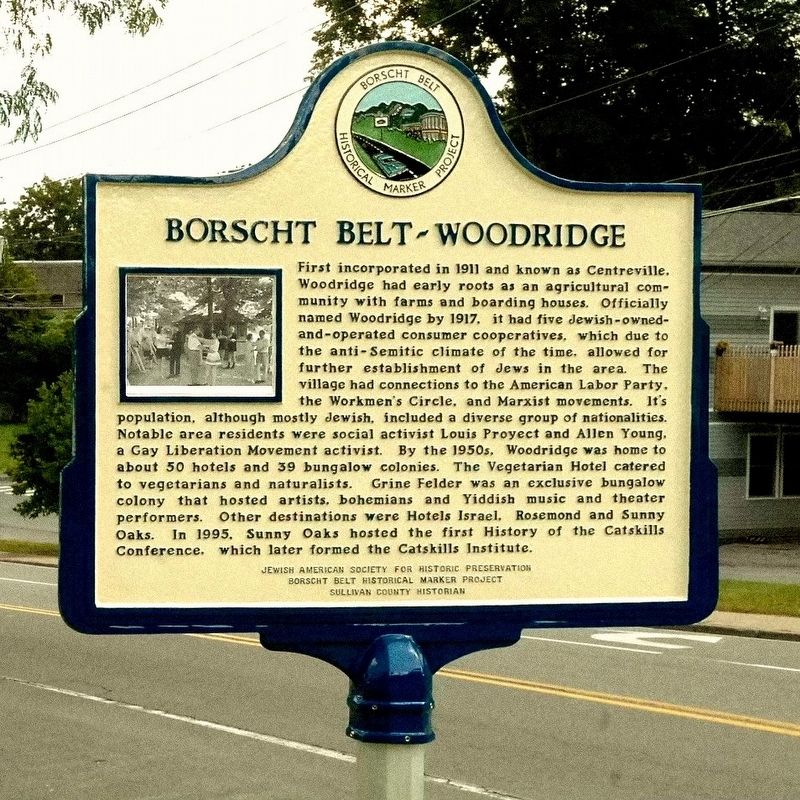
1. Borscht Belt - Woodridge Marker
Borscht Belt - Woodridge
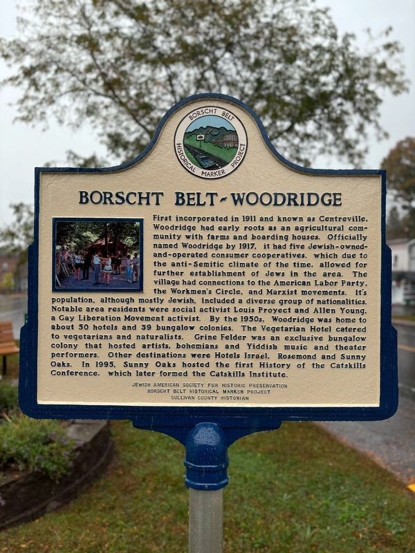
First incorporated in 1911 and known as Centreville, Woodridge had early roots as an agricultural community with farms and boarding houses. Officially named Woodridge by 1917, it had five Jewish-owned-and-operated consumer cooperatives, which due to the anti-Semitic climate of the time, allowed for further establishment of Jews in the area. The village had connections to the American Labor Party, the Workmen’s Circle, and Marxist movements. Its population, although mostly Jewish, included a diverse group of nationalities. Notable area residents were social activists Louis Proyect and Allen Young, a Gay Liberation Movement activist. By the 1950s, Woodridge was home to about 50 hotels and 39 bungalow colonies. The Vegetarian Hotel catered to vegetarians and naturalists. Grine Felder was an exclusive bungalow colony that hosted artists, bohemians, Yiddish music, and theater performers. Other destinations were Hotels Israel, Rosemond, and Sunny Oaks. In 1995, Sunny Oaks hosted the first History of the Catskills Conference, which later formed the Catskills Institute.
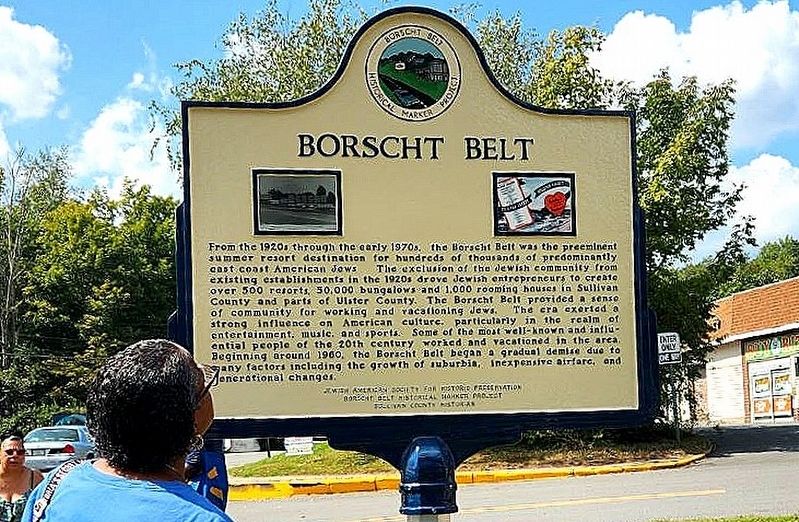
Borscht Belt
From the
this page online
Erected 2024 by Jewish American Society for Historic Preservation, Borscht Belt Historical Marker Project, Sullivan County Historian.
Topics and series. This historical marker is listed in these topic lists: Arts, Letters, Music • Civil Rights • Industry & Commerce •
Photographed by Jerry Klinger, August 2024
2. Borscht Belt
Location. 41° 42.617′ N, 74° 34.456′ W. Marker is in Woodridge, New York, in Sullivan County. It is at the intersection of Green Avenue and Maple Avenue, on the left when traveling west on Green Avenue. Touch for map. Marker is in this post office area: Woodridge NY 12789, United States of America. Touch for directions.

Regionally, this marker is in Upstate New York and in the Hudson Valley. It is also in the American Northeast, in the Mid-Atlantic, in Appalachia, and specifically in Northern Appalachia. Globally, it is in North America, the Western Hemisphere, the Western World, and the Anglosphere. Historically, it finds itself in what was once New Netherland and also one of the original Thirteen Colonies.
Other nearby markers. At least 8 other markers are within 4 miles of this marker, measured as the crow flies: Mayors of the Village of Woodridge (within shouting distance of this marker); In Memory (within shouting
Photographed by Marisa Scheinfeld
3. Borscht Belt - Woodridge Marker
Also see . . .
1. Utopia in the Catskills.
"When you drive west through Ellenville past Spring Glen on Route 209 a sign tells you that you are entering Woodridge, The Friendly Village. This is not a Chamber of Commerce exaggeration. The summer population of the town, although mostly Jewish, includes a diversified group of nationalities. There are Negro entertainers and household servants, Puerto-Rican, Moslem, Indian, Cuban and Lascar [Indian sailors, an archaic term] hotel workers. A few of the old-time Irish settlers from the Irish tanner days are still there. Everybody gets along. Anybody can check into any hotel regardless of his race or creed."(Submitted on August 28, 2024, by Jerry Klinger of Boynton Beach, Florida.)
2. Woodridge Historic Marker Dedication (YouTube, 41:44). Woodridge Historic Marker Dedication, August 25, 2024. Video courtesy of Jim Sebastian. (Submitted on September 24, 2024.)
Credits. This page was last revised on September 27, 2024. It was originally submitted on August 28, 2024, by Jerry Klinger of Boynton Beach, Florida. This page has been viewed 918 times since then and 54 times this year. Photos: 1, 2. submitted on August 28, 2024, by Jerry Klinger of Boynton Beach, Florida. 3. submitted on September 26, 2024, by Jerry Klinger of Boynton Beach, Florida. • Andrew Ruppenstein was the editor who published this page.
