
Lansing in Ingham County, Michigan — The American Midwest (Great Lakes)
Olds Freeway
Interstate 496

Photographed by Craig Doda, August 18, 2024
1. Olds Freeway Marker
The Olds Freeway, also known as Interstate 496 or 1-496, is an 11.9 mile stretch of freeway under the jurisdiction of the Michigan Department of Transportation. The freeway runs east and west through the center of Lansing. An average of 70,000 vehicles travel on it every day.
In the early 1960s, as a result of economic progress and urban growth, it was determined that a route was needed to connect major thoroughfares and provide better access to Lansing's urban core. Construction of the freeway started in 1963, and the freeway opened on December 18, 1970. The new thoroughfare was named Olds Freeway, for Ransom Eli Olds, the founder of Oldsmobile and the REO Motor Car Company.
Near the Lansing Board of Water & Light's Central Substation once stood a historic neighborhood, housing many of Lansing's most distinguished and influential residents. They included automobile pioneer Ransom Eli Olds (right: Olds Mansion), railroad tycoon Orlando M. Barnes (below: Barnes Castle) and Eugene Cooley, founder of the city's first gas works. Most of this neighborhood, along with a historical African-American neighborhood west of this
this page online
Olds Mansion
Designed by renowned Lansing architect Darius B. Moon and built in 1904 on the site of the former Benton House, Lansing's earliest hotel, the former home of Ransom Eli Olds was demolished in 1963.
Barnes Castle
Railroad tycoon Orlando M. Barnes built what was one of Lansing's finest mansions in 1875-76. The Barnes Castle, as it was known, was a premier example of Victorian architecture. The castle was demolished in 1957.
Topics. This historical marker is listed in this topic list: Roads & Vehicles. A significant historical date for this entry is December 18, 1970.
Location. 42° 43.523′ N, 84° 33.158′ W. Marker is in Lansing, Michigan, in Ingham County. It is at the intersection of West Malcom X Street and South Washington Street, on the right when traveling east on West Malcom X Street. Touch for map. Marker is at or near this postal address: 825 S Washington Ave, Lansing MI 48933, United States of America. Touch for directions.

Regionally, this marker is in Mid-Michigan. It is also in the American Midwest and on the Great Lakes. Globally, it is in North
Photographed by Craig Doda, August 18, 2024
2. Olds Freeway Marker
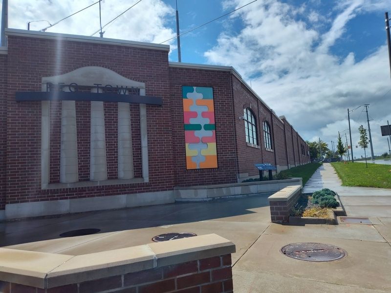
Other nearby markers. At least 8 other markers are within walking distance of this marker: History of REO Town (a few steps from this marker); History of Scott Park (about 400 feet away, measured in a direct line); Malcolm X (about 400 feet away); History of the Automobile in Lansing (about 400 feet away); I-496 Olds Freeway (about 400 feet away); Scott Sunken Garden (about 400 feet away); Ransom Eli Olds (about 400 feet away); Cooley Gardens (about 500 feet away). Touch for a list and map of all markers in Lansing.
Credits. This page was last revised on September 3, 2024. It was originally submitted on August 30, 2024, by Craig Doda of Napoleon, Ohio. This page has been viewed 187 times since then and 38 times this year. Photos: 1, 2. submitted on August 30, 2024, by Craig Doda of Napoleon, Ohio. • Devry Becker Jones was the editor who published this page.
