Pasadena in Los Angeles County, California — The American West (Pacific Coastal)
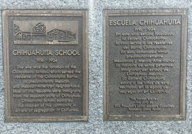
Chihuahuita School
Escuela Chihuahuita
| — | 1916-1924 | — |
Photographed by Tatiana Zavala, August 31, 2024
1. Chihuahuita School Marker

En este sitio estaba localizada la Escuela Chihuahuita, la cual servia a los residentes del Barrio Chihuahuita. En esta comunidad vivían predominantemente Mexicanos y Mexico-Americanos. La mayoria de estas personas, inmigraron del estado de Chihuahua, Mexico. La Escuela Chihuahuita educo a los niños de esta vecindad, en la epoca de segregacion en California.
Erected 2010 by Pasadena City College (PCC) President's Latino Advisory Committee - Pasadena Latino Forum.
Topics. This historical marker is listed in these topic lists: Education • Hispanic Americans. A significant historical year for this entry is 1916.
Location. 34° 9.014′ N, 118° 5.128′ W. Marker is in Pasadena, California, in Los Angeles County. It can be reached from
this page online

Regionally, this marker is in Greater Los Angeles and in the Transverse Ranges. It is also on the American Pacific Coast. Globally, it is in North America, on the Ring of Fire, on the Pacific Rim, in the Western Hemisphere, in the Western World, and in the Anglosphere. Historically, it finds itself in what was once New Spain and also Mexico’s Alta California.
Other nearby markers. At least 8 other markers are within 2 miles of this marker, measured as the crow flies: The Craig Adobe (approx. 1.3 miles away); San Gabriel Mission Dam (approx. 1.4 miles away); Bonnie Court (approx. 1.8 miles away); Michael White Adobe (approx. 1.8 miles away); Hollywood at the Arboretum (approx. 1.9 miles away); Queen Anne Cottage (approx. 1.9 miles away); Cycads
Photographed by Tatiana Zavala, August 31, 2024
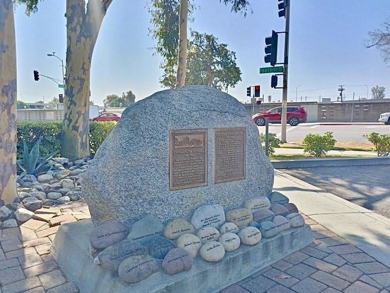
2. Chihuahuita School Marker
More about this marker. In 1915, the school was called the Titleyville School, and the name was changed to Chihuahuita School in 1916.
Additional keywords. Titleyville
Photographed by Tatiana Zavala, August 31, 2024
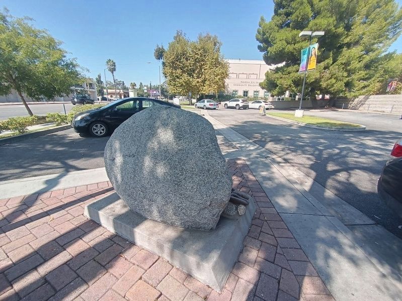
3. Marker boulder and visitor parking lot
Credits. This page was last revised on May 30, 2025. It was originally submitted on August 31, 2024, by Tatiana Zavala of Orange County, California. This page has been viewed 489 times since then and 76 times this year. Photos: 1, 2, 3. submitted on August 31, 2024, by Tatiana Zavala of Orange County, California. • Andrew Ruppenstein was the editor who published this page.
