Near North Blenheim in Schoharie County, New York — The American Northeast (Mid-Atlantic)
History and Use of the Lower Reservoir

Photographed by Steve Stoessel, August 31, 2024
1. History and Use of the Lower Reservoir Marker
Even before the American Revolution, settlers realized the value of the Schoharie Valley's rich farming land. With the development of the land came the need for power to run grain and lumber mills. The first use of water power in the valley dates back to the construction of a grist mill near Middleburgh in 1718.
The construction for the Blenheim-Gilboa Pumped Storage Power Project began in 1969 and the plant began operation in 1973. Each of the reservoirs - one atop Brown Mountain (the upper reservoir), the other at its foot (the lower reservoir) - holds five billion gallons of water. When power is being generated, the water cascades down a concrete shaft that is five times taller than Niagara Falls. When water is being stored, usually at night or over the weekend, the process is reversed and water is pumped back up the shaft for storage.
The system allows the Power Plant to literally "go with the flow"-to take advantage of the daily highs and lows in statewide electricity demand. In other words, power can be generated when it is needed, generally in the late afternoon or early evening, and store the water that fuels
this page online
[Photos:]
An old turbine removed from the power plant. This is located at the Visitor's Center.
View of the power plant, lower reservoir, and Mine Kill pool complex.
Erected by New York Power Authority, Mine Kill State Park.
Topics. This historical marker is listed in this topic list: Man-Made Features. A significant historical year for this entry is 1718.
Location. 42° 26.404′ N, 74° 27.234′ W. Marker is near North Blenheim, New York, in Schoharie County. It can be reached from Mine Kill Road half a mile east of New York State Route 30. Marker is at the boat launch in Mine Kill State Park. Touch for map. Marker is in this post office area: North Blenheim NY 12131, United States of America. Touch for directions.

Regionally, this marker is in Upstate New York and in the Mohawk Valley. It is also in the American Northeast,
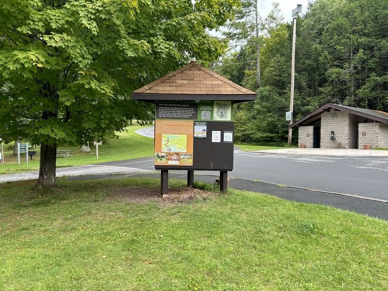
Photographed by Steve Stoessel, August 31, 2024
2. History and Use of the Lower Reservoir Marker
Other nearby markers. At least 8 other markers are within 3 miles of this marker, measured as the crow flies: Blenheim-Gilboa Bluebird Trail (approx. 0.3 miles away); Manor House (approx. 0.9 miles away); Town of Gilboa (approx. 1.3 miles away); The Long Path (approx. 1.3 miles away); Indian Trail (approx. 2 miles away); Gen. Freegift Patchin (approx. 2 miles away); Old Blenheim Bridge (approx. 2.3 miles away); The Re-Creation (approx. 2.3 miles away). Touch for a list and map of all markers in North Blenheim.
More about this marker. This is a three sided marker, with two sides largely devoted to animals (particularly eagles), environment and regulatory information. Only the historical portion was transcribed.
Also see . . . Blenheim-Gilboa Power Station (Wikipedia). (Submitted on September 1, 2024, by Steve Stoessel of Niskayuna, New York.)

Photographed by Steve Stoessel, August 31, 2024
3. View of the Mark and Lower Reservoir
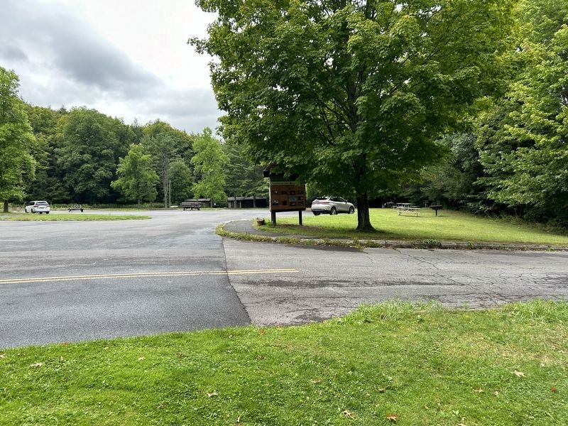
Photographed by Steve Stoessel, August 31, 2024
4. Lower Reservoir Marker Beside the Boat Launch
Credits. This page was last revised on September 1, 2024. It was originally submitted on September 1, 2024, by Steve Stoessel of Niskayuna, New York. This page has been viewed 238 times since then and 25 times this year. Photos: 1, 2, 3, 4. submitted on September 1, 2024, by Steve Stoessel of Niskayuna, New York.
