Mableton in Cobb County, Georgia — The American South (South Atlantic)
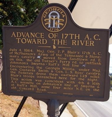
Advance of the 17th A.C. Toward the River
Photographed by David Seibert, October 3, 2008
1. Advance of the 17th A.C. Toward the River Marker
Encountering the Georgia Militia, under Maj. Gen. Gustavus Smith & Gen. L. S. Ross’ cavalry, the Federals drove them eastward 1.25 miles. Blair’s troops intrenched here for the night.
This action was coincident with 4th & 16th A. C. assaults on Johnston’s line at Smyrna & at Ruff’ s Mill, some four miles N.E. on the old Concord Road.
Erected 1954. (Marker Number 033-69.)
Topics and series. This historical marker is listed in this topic list: War, US Civil. In addition, it is included in the Georgia Historical Society series list. A significant historical date for this entry is July 4, 1864.
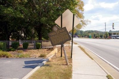
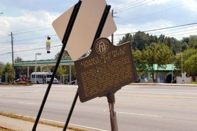
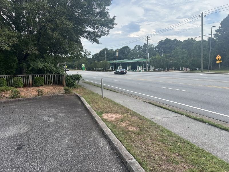
Location. Marker is missing. It was located near 33° 48.797′ N, 84° 33.602′ W. Marker was in Mableton, Georgia, in Cobb County. It was at the intersection of Veterans Memorial Highway (U.S. 78) and Harding Drive, on the right when traveling west on Veterans Memorial Highway. Touch for map. Marker was in
this page online

Regionally, this marker was in the Piedmont and in Metro Atlanta. It was also in the American South and specifically in the Deep South. Globally, it was in North America, the Western Hemisphere, the Western World, and the Anglosphere. Historically, it found itself in what was once the original Cherokee Nation, the territory of the Mississippian Culture, one of the original Thirteen Colonies, one of the Confederate States of America, and the Antebellum South.
Other nearby markers. At least 8 other markers are within 2 miles of this location, measured as the crow flies: Toward the River (approx. 0.7 miles away); The Mitchell House (approx. 0.7 miles away); Turner's, Howell's Baker's & Sandtown Ferries (approx. 0.9 miles away); Mable Plantation African American Cemetery (approx. 1.3 miles away); Historic Mable House (approx. 1.3 miles away); Cemetery (approx. 1.3 miles away); Corn Crib (approx. 1.3 miles away); Georgia Militia on Turner's Ferry Road (approx. 1.3 miles away). Touch for a list and map of all markers in Mableton.
More about this marker.
Photographed by David Seibert, October 3, 2008
2. Advance of the 17th A.C. Toward the River Marker
Photographed by David Seibert, October 3, 2008
3. Advance of the 17th A.C. Toward the River Marker
Photographed by Mark St. Martin, September 1, 2024
4. Advance of the 17th A.C. Toward the River Marker (missing)
Credits. This page was last revised on September 2, 2024. It was originally submitted on March 7, 2009, by David Seibert of Sandy Springs, Georgia. This page has been viewed 1,248 times since then and 25 times this year. Last updated on September 1, 2024, by Mark St. Martin of Kalamazoo, Michigan. Photos: 1, 2, 3. submitted on March 7, 2009, by David Seibert of Sandy Springs, Georgia. 4. submitted on September 1, 2024, by Mark St. Martin of Kalamazoo, Michigan. • Bernard Fisher was the editor who published this page.
