Coney Island in Brooklyn in Kings County, New York — The American Northeast (Mid-Atlantic)
Yellow Submarine
Coney Island Creekwalk
Partially submerged in Coney Island Creek, just offshore from Calvert Vaux Park, lies a resting submarine. the Quarter I was built and launched on Coney Island Creek in 1971 by Jerry Bianco, a Brooklyn Navy Yard welder who had no previous shipbuilding experience. His plan was to raise and salvage the sunken cruise ship Andrea Doria. Bianco successfully tested the sub in Gravesend Bay, raising several small wrecks. The Quester broke loose during a storm and was shipwrecked at its current location in 1981.
Erected by NYC Parks.
Topics and series. This historical marker is listed in this topic list: Waterways & Vessels. In addition, it is included in the NYC Parks series list. A significant historical year for this entry is 1971.
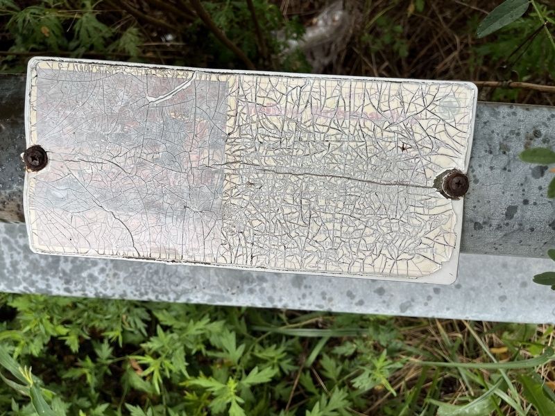
Location. 40° 34.814′ N, 73° 59.798′ W. Marker has been reported damaged. Marker is in Brooklyn, New York, in Kings County. It is on Coney Island. It can be reached from Bayview Avenue 0.2 miles north of Neptune Avenue, on the right when traveling north. Touch for map. Marker is in this post office area: Brooklyn NY 11224, United States of America. Touch for directions.

Regionally, this marker
this page online
Other nearby markers. At least 8 other markers are within walking distance of this location: Shipwrecks (here, next to this marker); Gene Ritter Way (a few steps from this marker); Fishing the Creek (within shouting distance of this marker); Egrets and Swans (within shouting distance of this marker); Spartina Salt Marsh (about 400 feet away, measured in a direct line); Coney Island Creek (about 400 feet away); a different marker also named Fishing the Creek (approx. 0.2 miles away); Firefighter James J. Hurson (approx. ¼ mile away). Touch for a list and map of all markers in Brooklyn.
Credits. This page was last revised on September 2, 2024. It was originally submitted on September 2, 2024, by Devry Becker Jones of Washington, District of Columbia. This page has been viewed 347 times since then and 55 times this year. Photo 1. submitted on September 2, 2024, by Devry Becker Jones of Washington, District of Columbia.
Editor’s want-list for this marker. Photos of the marker from before it weathered. • A wide shot of the marker in context. • Can you help?
