Oneida in Madison County, New York — The American Northeast (Mid-Atlantic)
Oneida Feeder Canal

Photographed by Susan A. Dalaba, July 30, 2023
1. Oneida Feeder Canal Marker
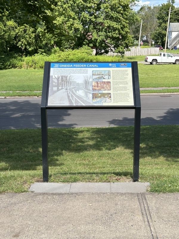
The Oneida Feeder Canal was constructed in 1835 to replenish water in the Erie Canal lost in locking boats through the old Oneida Lake Canal between Higginsville and Oneida Lake. The feeder canal was 3 miles long and 12 feet wide, extending from Oneida Creek, near Oneida Castle, to the Erie Canal in Durhamville. It provided convenient access and tremendous shipping potential to the community.
After the old Oneida Lake Canal closed in 1863 the feeder canal was deepened to carry cargo from Durhamville to a dock north of Elm Street. In early winter, freezing temperatures changed the water into a busy skating rink through midtown Oneida. When snow covered the ice, the feeder was used as a road into Durhamville. In the summer months, bathtub races took place during July 4th celebrations and small boats could leisurely float down the feeder.
Homes built on the east side of Main Street has small bridges built to cross over the feeder. The banks of the feeder were graded, and trees were planted to beautify the area.
The feeder also played a key role in providing water for fire emergencies. Newspaper accounts report
this page online
Over time, the practical and aesthetic advantages of the feeder began to wane. The increased use of railroads made the feeder unnecessary and in 1925 the city began plans to fill it in, using it as a storm water drainage system which was completed in 1936. Remnants of the feeder canal (such as this spot) remain, where you can imagine crossing the access bridges and enjoying the beauty of the time.
Topics. This historical marker is listed in these topic lists: Industry & Commerce • Waterways & Vessels. A significant historical year for this entry is 1835.
Location. 43° 5.552′ N, 75° 39.017′ W. Marker is in Oneida, New York, in Madison County. It is on Main Street north of Stone Street, on the right when traveling north. Touch for map. Marker is in this post office area: Oneida NY 13421, United States of America. Touch for directions.

Regionally, this marker is in Upstate New York, specifically in Central New York, and in the Syracuse Metropolitan Area. It is also in the American Northeast and in the Mid-Atlantic. Globally,
Photographed by Susan A. Dalaba, July 30, 2023
2. Oneida Feeder Canal Marker
Other nearby markers. At least 8 other markers are within 6 miles of this marker, measured as the crow flies: Lest We Forget (within shouting distance of this marker); Skenandoah's Last Home Site (approx. 1.9 miles away); Madison County War Veterans Memorial (approx. 3 miles away); Oneida Community Mansion House (approx. 3.2 miles away); The Erie Canal - The Long Level (approx. 4½ miles away); Mucklands (approx. 5 miles away); Peterboro St. School (approx. 5.1 miles away); Verona World War I Memorial (approx. 5.1 miles away). Touch for a list and map of all markers in Oneida.
Credits. This page was last revised on September 8, 2024. It was originally submitted on September 2, 2024, by Susan A. Dalaba of Cortland, New York. This page has been viewed 508 times since then and 92 times this year. Photos: 1, 2. submitted on September 2, 2024, by Susan A. Dalaba of Cortland, New York. • Michael Herrick was the editor who published this page.
