Shortsville in Ontario County, New York — The American Northeast (Mid-Atlantic)
Littleville Dam
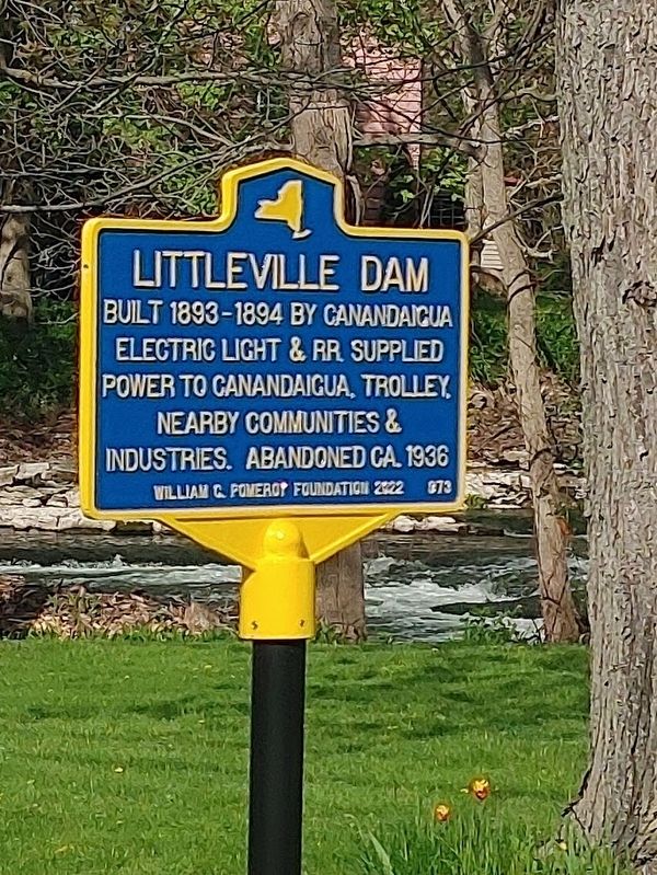
Photographed by James Turcotte
1. Littleville Dam Marker
Erected 2022 by William G. Pomeroy Foundation. (Marker Number 873.)
Topics and series. This historical marker is listed in these topic lists: Industry & Commerce • Waterways & Vessels. In addition, it is included in the William G. Pomeroy Foundation series list. A significant historical year for this entry is 1893.
Location. 42° 56.592′ N, 77° 13.297′ W. Marker is in Shortsville, New York, in Ontario County. It is at the intersection of County Road 19 and Pioneer Road, on the right when traveling north on County Road 19. Touch for map. Marker is at or near this postal address: 1825 County Road 19, Shortsville NY 14548, United States of America. Touch for directions.

Regionally, this marker is in Upstate New York, specifically in Western New York, in the Finger Lakes, and in the Rochester Metropolitan Area. It is also in the American Northeast and in the Mid-Atlantic. Globally, it is in North America, the Western Hemisphere, the Western World, and the Anglosphere.
this page online
Other nearby markers. At least 8 other markers are within 4 miles of this marker, measured as the crow flies: Bee Sting Death (approx. 0.4 miles away); Train Wreck (approx. 1.4 miles away); Manchester Veterans Memorial (approx. 1.9 miles away); Stephen A Douglas (approx. 2.7 miles away); South Farmington Cemetery & Meetinghouse Park (approx. 3 miles away); Herendeen Home (approx. 3.4 miles away); Revolutionary War Tree (approx. 3.8 miles away); The Peacock House/Aviary (approx. 3.9 miles away). Touch for a list and map of all markers in Shortsville.
Also see . . . Littlevulle Dam (William G. Pomeroy Foundation). (Submitted on May 4, 2024.)
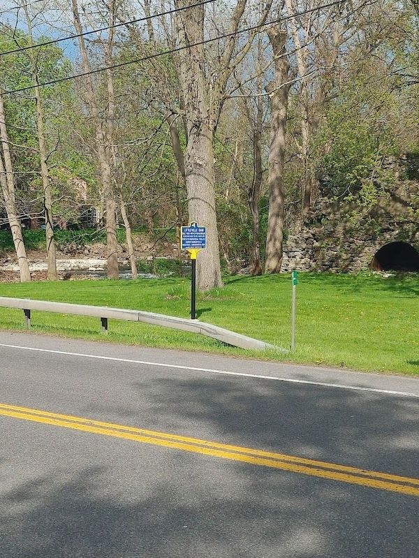
Photographed by James Turcotte, '[5/3/2024
2. Littleville Dam Marker
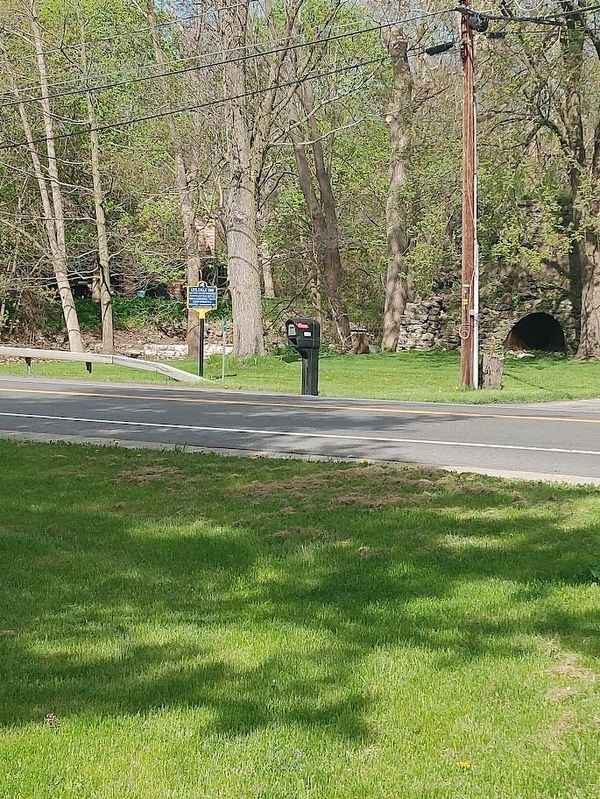
Photographed by James Turcotte, May 3, 2024
3. Littleville Dam Marker
Credits. This page was last revised on September 3, 2024. It was originally submitted on May 4, 2024, by James Turcotte of Phelps, New York. This page has been viewed 605 times since then and 49 times this year. Last updated on September 2, 2024, by James Turcotte of Phelps, New York. Photos: 1, 2, 3. submitted on May 4, 2024, by James Turcotte of Phelps, New York. • Devry Becker Jones was the editor who published this page.
