
Oakland near Canton in Van Zandt County, Texas — The American South (West South Central)
Oakland Community Cemetery
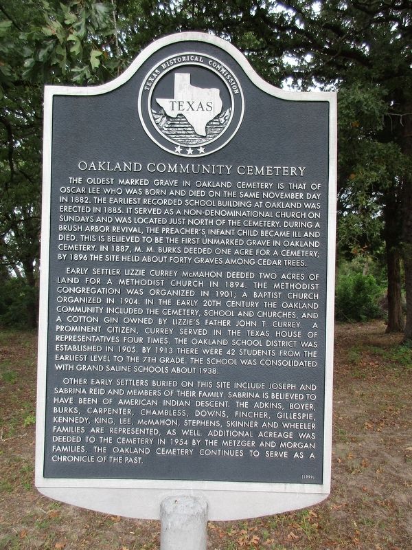
Photographed by Jeff Leichsenring, September 1, 2024
1. Oakland Community Cemetery Marker
Early settler Lizzie Currey McMahon deeded two acres of land for a Methodist church in 1894. The Methodist congregation was organized in 1901; a Baptist church organized in 1904. In the early 20th century the Oakland community included the cemetery, school and churches, and a cotton gin owned by Lizzie's father John T. Currey. A prominent citizen, Currey served in the Texas House of Representatives four times. The Oakland School District was established in 1905. By 1913 there were 42 students from the earliest level to the 7th grade. The school was consolidated with Grand Saline
this page online
Other early settlers buried on this site include Joseph and Sabrina Reid and members of their family. Sabrina is believed to have been of American Indian descent. The Adkins, Boyer, Burks, Carpenter, Chambless, Downs, Fincher, Gillespie, Kennedy, King, Lee, McMahon, Stephens, Skinner and Wheeler families are represented, as well. Additional acreage was deeded to the cemetery in 1954 by the Metzger and Morgan families. The Oakland Cemetery continues to serve as a chronicle of the past.
Erected 1999 by Texas Historical Commission. (Marker Number 12264.)
Topics. This historical marker is listed in this topic list: Cemeteries & Burial Sites.
Location. 32° 34.09′ N, 95° 45.612′ W. Marker is near Canton, Texas, in Van Zandt County. It is in Oakland. It is on Farm to Market Road 1255 0.1 miles south of County Road 1308, on the right when traveling south. 6.5 mi. E of Canton on FM 1255. Touch for map. Marker is at or near this postal address: 12518 FM1255, Canton TX 75103, United States of America. Touch for directions.

Regionally, this marker is in the American
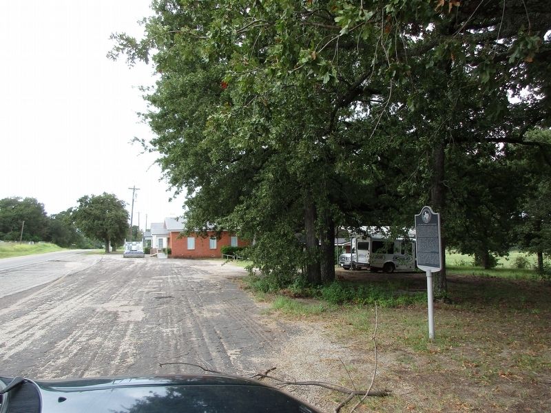
Photographed by Jeff Leichsenring, September 1, 2024
2. Oakland Community Cemetery Marker
Other nearby markers. At least 8 other markers are within 6 miles of this marker, measured as the crow flies: Starr Cemetery and School (approx. 2.4 miles away); Corinth Baptist Church and School (approx. 2.6 miles away); Corinth Cemetery (approx. 2.6 miles away); Wentworth Community (approx. 2.7 miles away); Colfax Cemetery (approx. 4.3 miles away); Van Zandt County (approx. 5.4 miles away); Brady P. Gentry (approx. 5.6 miles away); The Free State of Van Zandt (approx. 5.6 miles away). Touch for a list and map of all markers in Canton.
Credits. This page was last revised on September 5, 2024. It was originally submitted on September 3, 2024, by Jeff Leichsenring of Garland, Texas. This page has been viewed 188 times since then and 22 times this year. Photos: 1, 2. submitted on September 3, 2024, by Jeff Leichsenring of Garland, Texas. • James Hulse was the editor who published this page.
