Enoch in Iron County, Utah — The American Mountains (Southwest)
Livestock Company Co-op
| — | Enoch Trails | — |
Photographed by Jeremy Snow, September 3, 2024
1. Livestock Company Co-op Marker
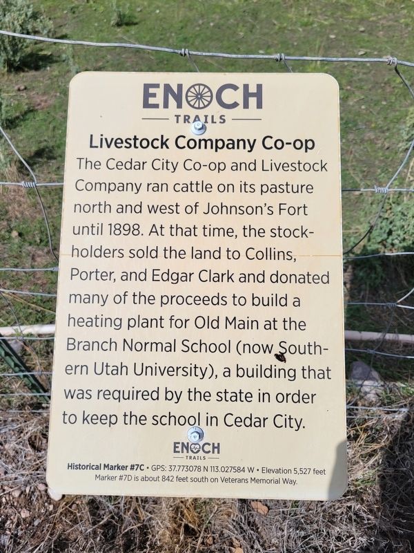
The Cedar City Co-op and Livestock Company ran cattle on its pasture north and west of Johnson's Fort until 1898. At that time, the stock-holders sold the land to Collins, Porter, and Edgar Clark and donated many of the proceeds to build a heating plant for Old Main at the Branch Normal School (now Southern Utah University), a building that was required by the state in order to keep the school in Cedar City.
ENOCH TRAILS
Historical Marker #7C GPS: 37.773078 N 113.027584 W Elevation 5,527 feet
Marker #7D is about 842 feet south on Veterans Memorial Way.
Erected by Enoch City - Enoch Trails. (Marker Number 7C.)
Topics and series. This historical marker is listed in these topic lists: Agriculture • Education. In addition, it is included in the Enoch Trails series list. A significant historical year for this entry is 1898.
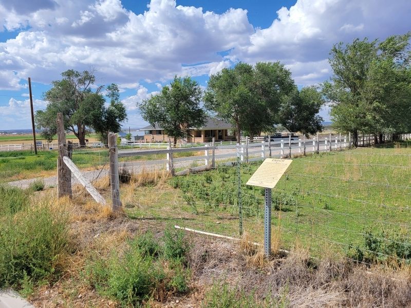
Location. 37° 46.386′ N, 113° 1.652′ W. Marker is in Enoch, Utah, in Iron County. It is on Jones Lane, on the right when traveling west. Touch for map. Marker is at or near this postal address: 1779 Jones Lane, Cedar City UT 84721, United States of America. Touch for directions.

Regionally,
this page online
Other nearby markers. At least 8 other markers are within walking distance of this marker: Tithing Office (within shouting distance of this marker); Enoch Schoolhouse and Tithing Office (about 300 feet away, measured in a direct line); St. Joseph's Meadow (approx. 0.2 miles away); Mercantile Building (approx. 0.2 miles away); Enoch Ward Chapel (approx. 0.2 miles away); Johnson's Fort (approx. ¼ mile away); Enoch City Cemetery (approx. ¼ mile away); The Jones Family (approx. 0.3 miles away). Touch for a list and map of all markers in Enoch.
Photographed by Jeremy Snow, September 3, 2024
2. Livestock Company Co-op Marker
Credits. This page was last revised on September 4, 2024. It was originally submitted on September 3, 2024, by Jeremy Snow of Cedar City, Utah. This page has been viewed 123 times since then and 13 times this year. Photos: 1, 2. submitted on September 3, 2024, by Jeremy Snow of Cedar City, Utah. • Andrew Ruppenstein was the editor who published this page.
