Estelline in Hamlin County, South Dakota — The American Midwest (Upper Plains)
Estelline Bandstand and Gazebo Park
September 1, 2024
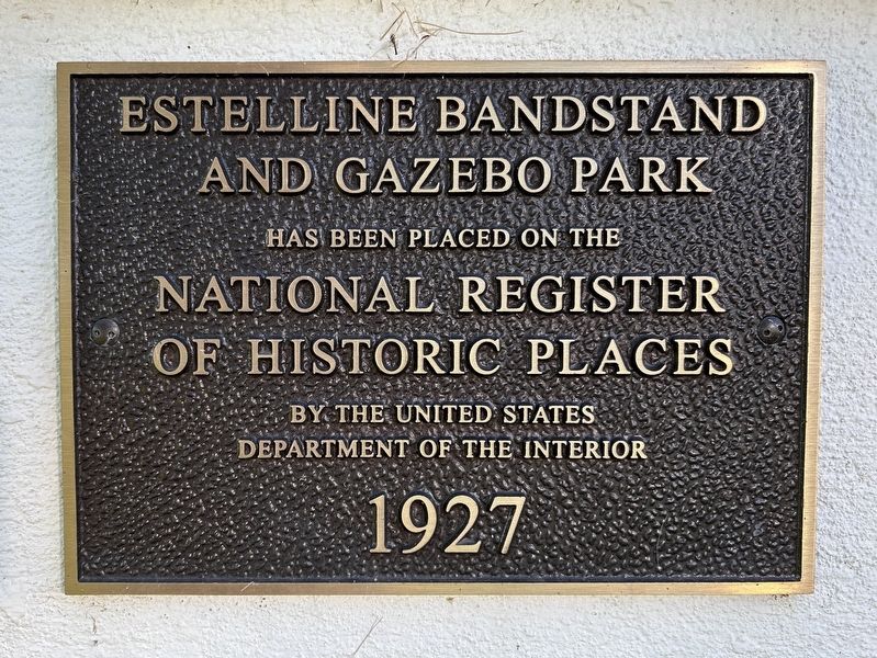
1. Estelline Bandstand and Gazebo Park Marker
has been placed on the National Register of Historic Places by the United States Department of the Interior
1927
Topics and series. This historical marker is listed in this topic list: Parks & Recreational Areas. In addition, it is included in the National Register of Historic Places (NRHP) series list. A significant historical year for this entry is 1927.
Location. 44° 34.381′ N, 96° 54.167′ W. Marker is in Estelline, South Dakota, in Hamlin County. It is on Main Street North north of State Avenue East (South Dakota Highway 28), on the left when traveling north. Touch for map. Marker is at or near this postal address: 105 N Main St, Estelline SD 57234, United States of America. Touch for directions.

Regionally, this marker is in the Sisseton-Wahpeton Oyate and in East River. It is also in the American Midwest, in the Lewis & Clark Corridor, in the Corn Belt, on the prairies, and on the Northern Plains. Globally, it is in North America, the Western Hemisphere, the Western World, and the Anglosphere. Historically, it finds itself in what was once Rupert’s Land and also the Louisiana Purchase.
Other nearby markers. At
this page online
Also see . . . South Dakota SP Estelline Bandstand and Gazebo Park - National Archives NextGen Catalog. From the National Register of Historic Places Continuation Sheet (1999):
Statement of Significance(Submitted on September 4, 2024.)
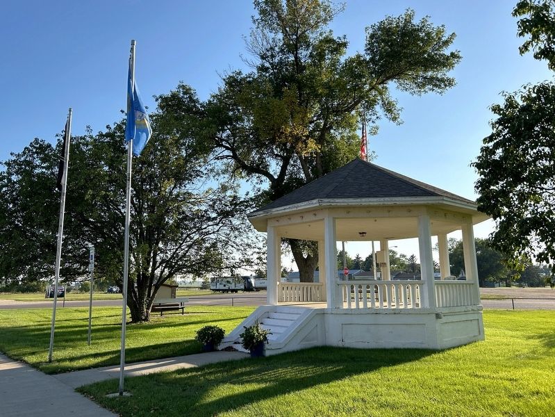
"The octagonal concrete gazebo was designed by Dick Nelson and built by volunteer labors during the summer of 1927. The structure was built as a place for the Estelline Municipal band to play. On Thursday nights, Estelline would be filled with people from around the area who came to enjoy the music played at the bandstand as well as to socialize with neighbors. In the 1970s, longafter the concerts ended, the bandstand became known as the gazebo. Even though the weekly concerts have ended, the bandstand has continued to serve Estelline as the site of ice cream socials, graduations, and weddings. In the 1920s, people did not expect the structure to last very long, but seventy-two years later, the bandstand has proved to be an important social gathering place in Estelline, and it has continued to be preserved and carefully maintained."September 1, 20242. Estelline Bandstand and Gazebo & Marker


September 1, 2024
3. Estelline Bandstand and Gazebo
September 1, 2024
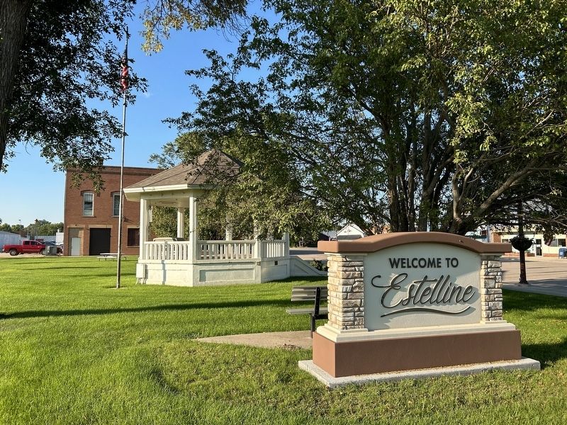
4. Estelline Bandstand and Gazebo Park
September 1, 2024
5. Estelline Bandstand and Gazebo Park
Credits. This page was last revised on September 6, 2024. It was originally submitted on September 4, 2024. This page has been viewed 295 times since then and 75 times this year. Photos: 1, 2, 3, 4, 5. submitted on September 4, 2024.
