Petrified Forest National Park in Apache County, Arizona — The American Mountains (Southwest)
The Stone Tree House
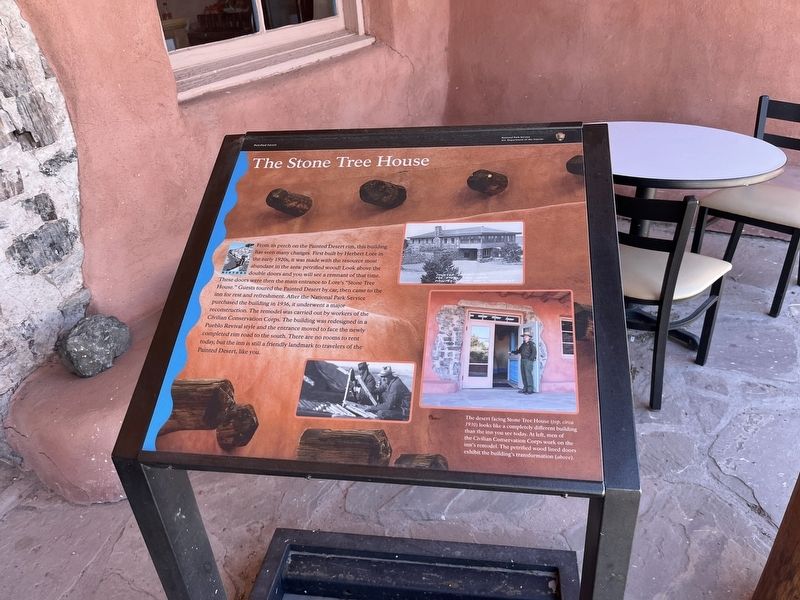
Photographed by Adam Margolis, May 26, 2024
1. The Stone Tree House Marker
Erected by National Park Service.
Topics. This historical marker is listed in these topic lists: Architecture • Parks & Recreational Areas. A significant historical year for this entry is 1936.
Location. 35° 5.037′ N, 109° 47.323′ W. Marker is in Petrified Forest National Park,
this page online

Regionally, this marker is in the American Southwest, in the Mountain West, on the Colorado Plateau, and at the Four Corners. Globally, it is in North America, the Western Hemisphere, the Western World, and the Anglosphere. Historically, it finds itself in what was once New Spain, the territory of the Ancestral Puebloans, and Mexico’s Alta California.
Other nearby markers. At least 8 other markers are within walking distance of this marker: Painted Desert Inn (within shouting distance of this marker); At Home in the Painted Desert (within shouting distance of this marker); Badlands (about 300 feet away, measured in a direct line); Get Lost (about 300 feet away); Over the Edge (approx. 0.4 miles away); Tawa Trail (approx. 0.4 miles away); Desert Vistas (approx. ¾ mile away); A Painted Park (approx. 0.9 miles away). Touch for a list and map of all markers in Petrified Forest National Park.
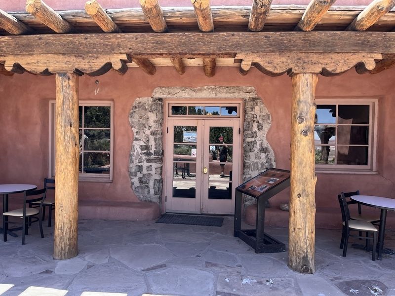
Photographed by Adam Margolis, May 26, 2024
2. The Stone Tree House Marker
Credits. This page was last revised on September 4, 2024. It was originally submitted on September 4, 2024, by Adam Margolis of Mission Viejo, California. This page has been viewed 229 times since then and 39 times this year. Photos: 1, 2. submitted on September 4, 2024, by Adam Margolis of Mission Viejo, California. • Andrew Ruppenstein was the editor who published this page.
